
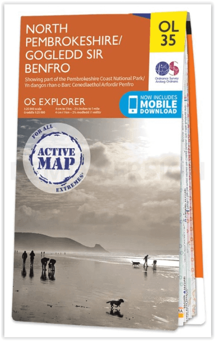
Wandelkaart OL35 North Pembrokeshire Wales - OSI
St Davids - Cardigan - Goodwick & Fishguard
Korte omschrijving
Wandelkaart North Pembrokeshire Wales - OSI Productomschrijving: Kaart nummer OL35 in de OS Explorer serie bestrijkt de kust van North Pembrokeshire en het Pembrokeshire Coast National Park ...

Specificaties
- Uitgever: Ordnance Survey
- ISBN-13: 9780319475744
- HOOFDCATEGORIEËN: Wandelkaart
- Activiteiten: Wandelen, Hiking & Trekking
- Regio: Pembrokeshire, Wales
- Land: Wales
- Waterafstotende kaart: Ordnance Survey ACTIVE Explorer Weatherproof Maps
- Nationale parken: Pembrokeshire Coast NP, Wales
- Schaal: 1:25000
- Taal: Engels
- Reeks: Explorer ACTIVE Series OSI
Volledige omschrijving
Wandelkaart North Pembrokeshire Wales - OSI
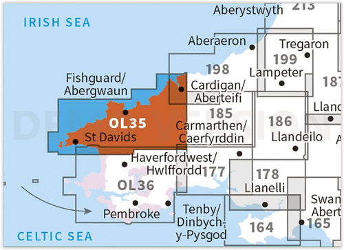
Productomschrijving: Kaart nummer OL35 in de OS Explorer serie bestrijkt de kust van North Pembrokeshire en het Pembrokeshire Coast National Park aan de westkust van Wales. Hoogtepunten van het gebied zijn: St Davids, Cardigan, Goodwick en Fishguard, samen met het Pembrokeshire Coast Path.
National Trails and recreation paths:
* Ceredigion Coast path * Pembrokeshire Coas path * Landsker Borderlands trail * Wales Coast PathEngelse omschrijving: Map sheet OL35 in the OS Explorer series covers the North Pembrokeshire coast and the Pembrokeshire Coast National Park on the West coast of Wales. Highlights of the area include: St Davids, Cardigan, Goodwick and Fishguard, along with the Pembrokeshire Coast Path. Also on the map is: St Davids, Cardigan, Goodwick, and Fishguard, and the Pembrokeshire Coast Path.

Locatie op kaart
Artikelen uit dezelfde regio
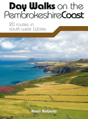
Wandelgids Day Walks on the Pembrokeshire Coast - Vertebrate publ • 9781910240984
Day Walks on the Pembrokeshire Coast - Vertebrate Productomschrijving: 20 routes in south-west Wales Day Walks on the Pembrokeshire Coast features 20 classic coastal routes between 6.5 miles and 13 miles (10.4km and 20.8km) in length, suitable for hillwalkers of all abilities. Local author and walker Harri Roberts shares his favourite walks in the national park, including a meander al…
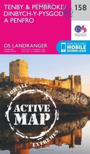
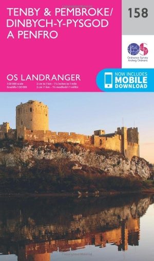
Wandelkaart 158 Tenby & Pembroke - Wales - OSI • 9780319474815
Wandelkaart Tenby & Pembroke in Pembrokeshire Wales Productbeschrijving: Deze OS Landranger kaart 158 omvat Tenby & Pembroke, alsook Kilgetty, Freystrop, Yerbeston, Milford Haven, Wolfsdale, Llandissilio, het Nationaal Park van Pembrokeshire Coast en de Pembrokeshire Coast Path. De OS Landranger kaarten reeks heeft betrekking op Groot-Brittannië met 204 gedetailleerde kaarten, perfect voo…
Wandelkaart 158 Tenby & Pembroke - Wales - OSI • 9780319262566
Wandelkaart Tenby & Pembroke in Wales Productbeschrijving: Deze OS Landranger kaart 158 van Tenby & Pembroke omvat ook Kilgetty, Freystrop, Yerbeston, Milford Haven, Wolfsdale, Llandissilio, het Nationaal Park van Pembrokeshire Coast en de Pembrokeshire Coast Path. De OS Landranger kaarten reeks heeft betrekking op Groot-Brittannië met 204 gedetailleerde kaarten, perfect voor dagtochten e…
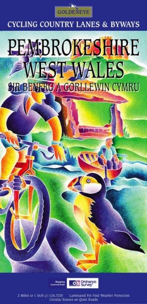
Fietskaart Pembrokeshire National Park - Goldeneye • 9781859651223
Fietskaart Pembrokeshire NP - West Wales - Goldeneye Productomschrijving: Pembrokeshire (Wels: Sir Benfro) is een bestuurlijk graafschap in het zuidwesten van Wales, gelegen in het ceremoniële behouden graafschap Dyfed. Een supergeschikte regio voor de fietser in het algemeen, rustig gelegen in de hoek van Wales. Het grenst in het oosten aan Carmarthenshire en in het noordoosten aan Ceredi…

Wandelkaart OL36 South Pembrokeshire- Wales - OSI • 9780319469545
Wandelkaart South Pembrokeshire - Wales Productbeschrijving: Kaart nummer OL36 is een all purpose kaart vol gepakt met informatie om u het gebied te helpen leren kennen. De kaarten bestrijken het land. Elke kaart heeft een oppervlakte van 40 km door 40 km (25 mijl door 25 mijl) en zoals andere kaarten van Ordnance Survey, National Grid-vierkanten worden verstrekt zodat elke functie een uni…