
Wandelkaart Kananaskis Country Alberta Canada - Gem Trek
Canmore- Bow Valley- Highwood River- Cataract Creek- Braggs Creek

Korte omschrijving
Wandelkaart Kananaskis Country Alberta Canada - Gem Trek Productomschrijving: Waterdichte en scheurbestendige kaart voor Kananaskis Country in de Canadese Rockies. Kaartdekking: De Kanan...

Specificaties
- Uitgever: Gem Trek Publishing
- ISBN-13: 9781990161001
- HOOFDCATEGORIEËN: Wandelkaart
- Activiteiten: Wandelen, Hiking & Trekking
- Regio: Alberta, Canada
- Land: Canada
- Schaal: 1:120000, 1:250000
- Editie: 1
- Taal: Engels
Volledige omschrijving
Wandelkaart Kananaskis Country Alberta Canada - Gem Trek
Productomschrijving: Waterdichte en scheurbestendige kaart voor Kananaskis Country in de Canadese Rockies.
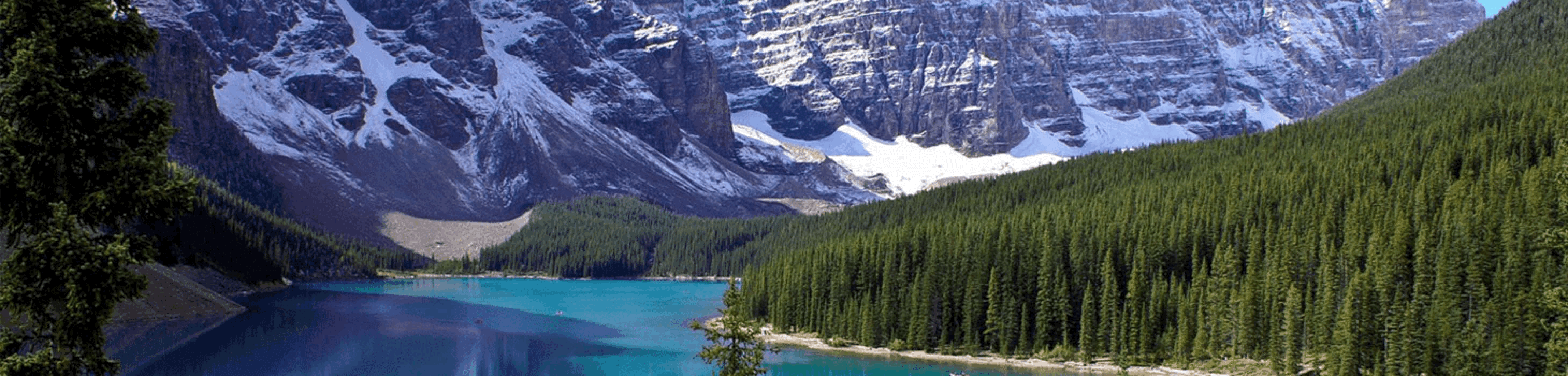
Kaartdekking: De Kananaskis Country Kaart bestrijkt heel Kananaskis Country in de Canadese Rockies. De kaart strekt zich uit van Canmore en de Bow Valley in het noorden tot de Highwood River en Cataract Creek in het zuiden. De Continental Divide en Elk Lakes Provincial Park worden in het westen bestreken, terwijl de oostelijke dekking zich uitstrekt tot Braggs Creek en de Elbow en Sheep River Valleys.
Engelse omschrijving: Waterproof and tear-resistant map for Kananaskis Country in the Canadian Rockies.
Map Coverage: The Kananaskis Country Map covers all of Kananaskis Country in the Canadian Rockies. Coverage extends from Canmore and the Bow Valley in the north to the Highwood River and Cataract Creek in the south. The Continental Divide and Elk Lakes Provincial Park are covered to the west while eastern coverage extends to Bragg Creek and the Elbow and Sheep River Valleys.
Whether you are a first-time visitor or a long-time local, you’ll find Gem Trek’s Kananaskis Country Map to be an invaluable tool. Researched and designed by locals, and printed in Canada, this map features accurate cartography and subtly coloured relief that puts the mountainous region in perspective. The map is printed on high-quality synthetic waterproof paper that can be folded and refolded hundreds of times.
The 1:250,000 scale is ideal for discovering the very best of Kananaskis Country. Highlights and our recommended hiking trails are marked by numbered stars, then cross-referenced on the reverse side with descriptions. Also included are all mountains and their elevations, along with natural features such as waterfalls, rivers, and lakes.
In addition to descriptions for the top highlights and most popular hiking trails, the reverse side has inset maps for Kananaskis Village and the Cataract Creek region. There are also descriptions of the park’s geology, history, wildlife, and eco-regions. Practical information on outdoor activities, weather, campgrounds, lodging, and visitor centres allows map users to plan their trip accordingly.
– Map scale: 1:250,000
– Sheet size: 27 x 39 inches
– Folded size: 4.5 x 9.5 inches
Map Features:
The Kananaskis Country Map features:
- waterproof and tear-resistant paper
- relief shading to better show the topography
- full colour on both sides
- hydrology rivers, rapids and waterfalls
- mountain names and all available mountain elevations
- all campgrounds with a handy chart showing campground details
- points of interest and attractions as well as day use areas and highway viewpoints
Locatie op kaart
Artikelen uit dezelfde regio

Reisgids Banff- Jasper & Glacier national parks - Lonely PLanet • 9781788684644
Banff - Jasper & Glacier national parks - Lonely PLanet Productomschrijving: Lonely Planet Banff, Jasper & Glacier National Parks is uw paspoort voor het meest relevante, actuele advies over wat u moet zien en overslaan, en welke verborgen ontdekkingen op u wachten. Ga wandelen en kamperen in de Backcountry in Banff, mountainbiken en paardrijden in Jasper, of wilde dieren spotten in Glacie…
Wandelgids Kanadische Rocky Mountains - Canada - Rother • 9783763345274
Wandelgids Canadian Rocky Mountains - Rother Productomschrijving: De Rocky Mountains zijn een echt openluchtparadijs. De natuur is er nauwelijks door mensenhanden aangeraakt en betovert met haar wilde schoonheid. Dit ruige gebergte is het thuis van poema's, beren en wapiti's, en combineert de meest uiteenlopende ecosystemen in de kleinste ruimte, met enorme ijsvelden, winderige bergtoppen,…

Wandelkaart 215 Glacier & Waterton Lakes NP - Montana - Nat Geo • 9781566953184
TOPO Wandelkaart 215 - Glacier & Waterton Lakes NP Productomschrijving: Glacier National Park is een nationaal park in de Amerikaanse staat Montana. Het park sluit nadeloos aan op het Canadese Waterten Lakes NP net over de grens in Alberta Canada. Het park ligt in de Rocky Mountains op de grens met Canada. Zes bergtoppen bereiken er een hoogte van meer dan 3000 meter. Engelse omschrijv…

Wandelkaart 11 Banff Up-Close - Gemtrek • 9781895526776
Wandelkaart - Banff Up-Close - Gemtrek Productomschrijving: Banff, een begrip in Alberta en wereldwijd, als skigebied en als wandelgebied in de zomermaanden. Banff heeft maar een klein stukje dat echt kan worden betreden als skigebied, de meerderheid van de skiërs gaan in de richting van Lake Louis zo'n 35km verder richting Jasper National park, die zelf zo'n 400km van Banff ligt. In Banff…

Reisgids West Canada (ENG) - Marco Polo • 9781914515934
Reisgids West Canada - Marco Polo Productomschrijving: Let Marco Polo Canada West guide you around this beautiful region. Explore Western Canada with this handy, pocket-sized, authoritative guide, packed with Insider Tips. Discover boutique hotels, authentic restaurants, the region's trendiest places, and get tips on shopping and what to do on a limited budget. There are plenty of ide…