

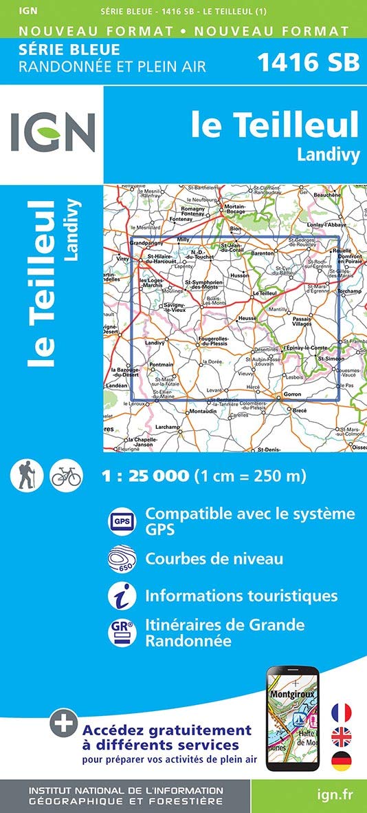
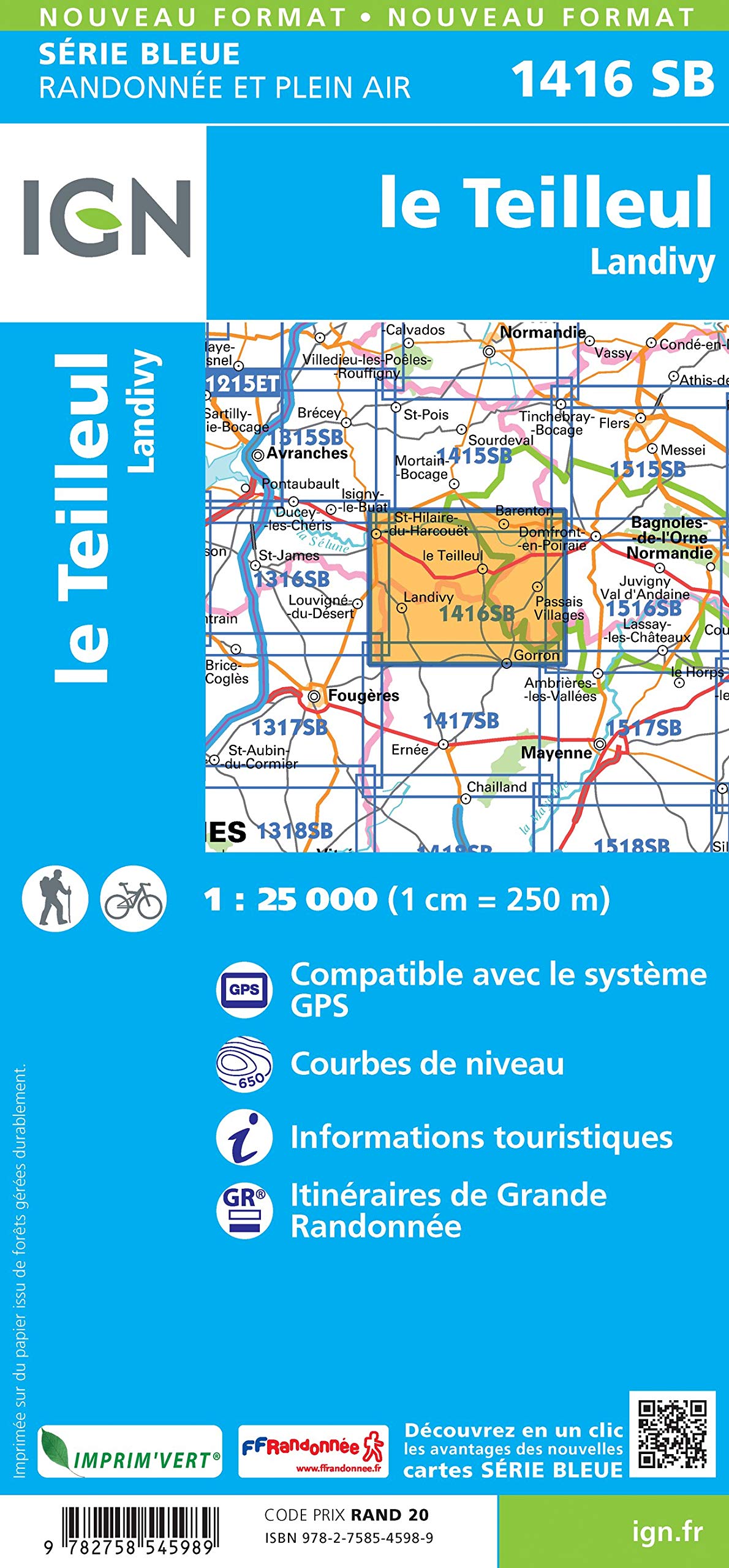
Wandelkaart 1416 SB Le Teilleul & Landivy - IGN
Le Teilleul & Landivy zijn gemeentes in het Franse Manche
Korte omschrijving
Wandelkaarten Normandië, Frankrijk van Institut Géographique National. Ideaal voor tochten in Frankrijk.
Wandelkaart 1416 SB - Le Teilleul & Landivy Productomschrijving: Le Teilleul & Landivy zijn gemeentes in het Franse departement Manche in de regio Normandië. De plaats maakt deel uit van het...

Specificaties
- Uitgever: Institut Géographique National
- ISBN-13: 9782758545989
- HOOFDCATEGORIEËN: Wandelkaart
- Activiteiten: Wandelen, Hiking & Trekking
- Regio: Normandië, Frankrijk
- Land: Frankrijk
- Departement: Manche (50)
- Schaal: 1:25000
- Editie: 1
- Taal: Frans
- Reeks/Serie: IGN France > TOP25 Randoo / Série Bleue

Volledige omschrijving
Wandelkaart 1416 SB - Le Teilleul & Landivy
Productomschrijving: Le Teilleul & Landivy zijn gemeentes in het Franse departement Manche in de regio Normandië. De plaats maakt deel uit van het arrondissement Avranches
Productomschrijving: Tussen 2014 en 2018 vernieuwt IGN haar volledige collectie serie blauw. Een nieuwe toewijzing voor optimale leesbaarheid, met een grotere mate van geometrische nauwkeurigheid en verrijkte toeristische informatie. Het formaat van de nieuwe serie blauw is gelijk aan die van de TOP 25 en het aantal verwijzingen wordt dus gedeeld door 2. het zijn puur topografische kaarten, maar zoals gezegd bijzonder gedetailleerd.
.png)
Locatie op kaart
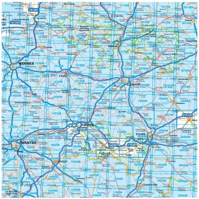
Overzichtskaarten
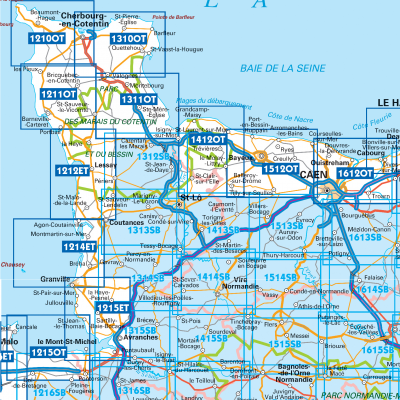
IGN TOP25 Wandelkaarten Normandië West
IGN TOP25 Wandelkaarten Normandië West
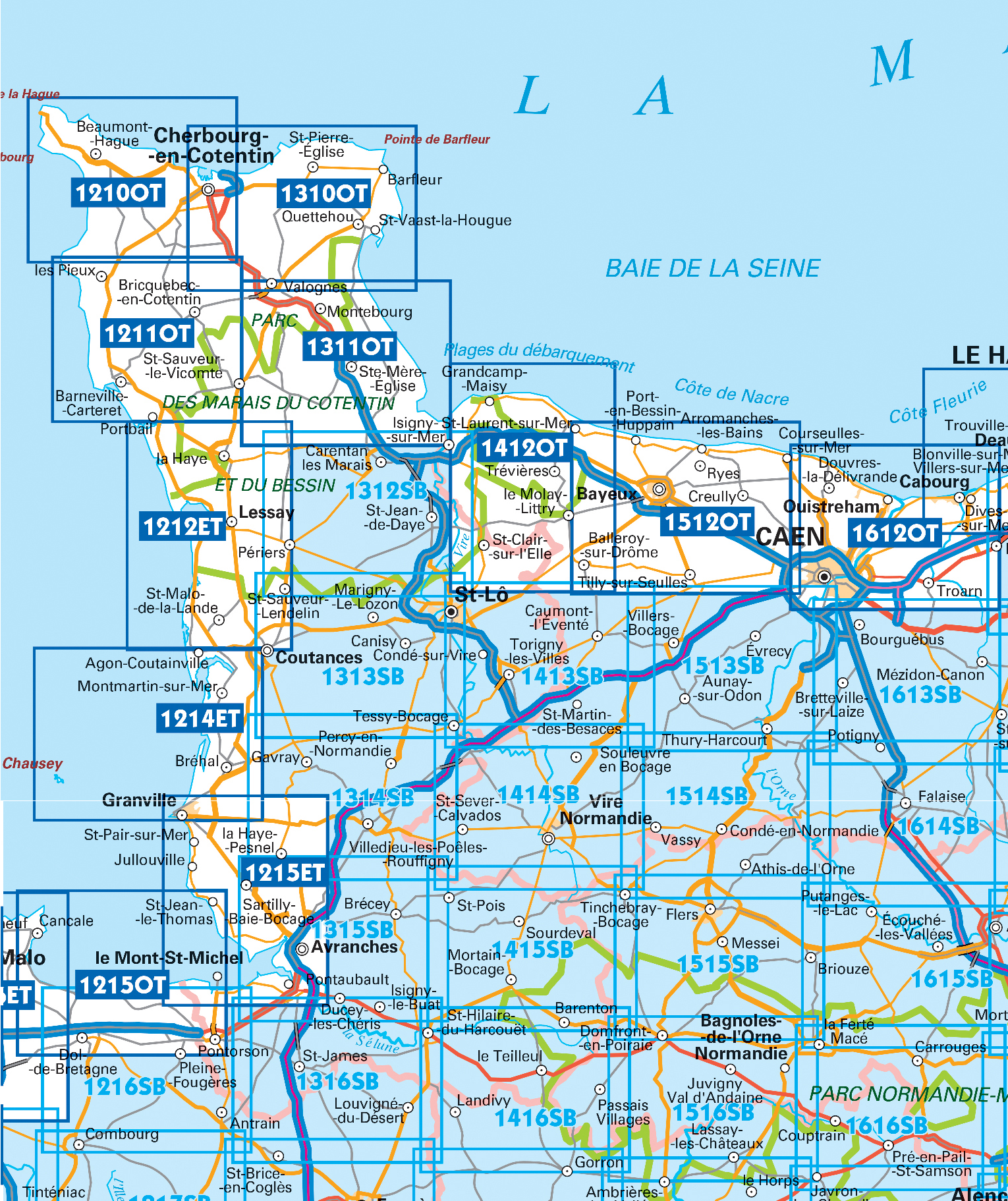
Producten op de overzichtskaart
Klik op een product om naar de detailpagina te gaan.
- Wandelkaart 1210 OT Cherbourg-en-Cotentin - IGN
- Wandelkaart 1211 OT Les Pieux & Barneville-Carteret - IGN
- Wandelkaart 1212 ET La Haye-du-Puits & Lessay - IGN
- Wandelkaart 1214 ET Granville & Coutances - IGN
- Wandelkaart 1215 ET Avranches & Granville - IGN
- Wandelkaart 1215 OT Le Mont-St-Michel & Dol-de-Bretagne - IGN
- Wandelkaart 1310 OT Cherbourg-en-Cotentin - IGN
- Wandelkaart 1311 OT Valoges - Ste-Mère-Eglise Utah Beach - IGN
- Wandelkaart 1312 SB Carantan & Périers - IGN
- Wandelkaart 1313 SB Saint-Lô- Saint-Saveur & Lendelin - IGN
- Wandelkaart 1314 SB Villedieu-les-Poëlles & Gavray - IGN
- Wandelkaart 1315 SB Ducy-Brécey & Avranches - IGN
- Wandelkaart 1412 OT Pointe du Hoc & Omaha Beach - IGN
- Wandelkaart 1413 SB Torigni-sur-Vire - Caumont & l'Eventé - IGN
- Wandelkaart 1414 SB Vire & St-Sever-Calvados - IGN
- Wandelkaart 1415 SB Tinchebray-Bocage & Sourdeval - IGN
- Wandelkaart 1416 SB Le Teilleul & Landivy - IGN
- Wandelkaart 1512 OT Bayeux & Arromanches-les-Bains - IGN
- Wandelkaart 1513 SB Aunay-sur-Odon- Bocage & Thury-Harcourt
- Wandelkaart 1514 SB Condé-sur-Noireau- Clécy & Suisse - IGN
- Wandelkaart 1515 SB Flers & Briouze - IGN
- Wandelkaart 1516 SB Domfront & Lassay-les-Châteaux - IGN
- Wandelkaart 1612 OT Caen & Ouistreham - IGN
- Wandelkaart 1614 SB Falaise & Morteaux-Couliboeuf - IGN
- Wandelkaart 1616 SB La Ferté-Macé & Pré-en-Pail - IGN
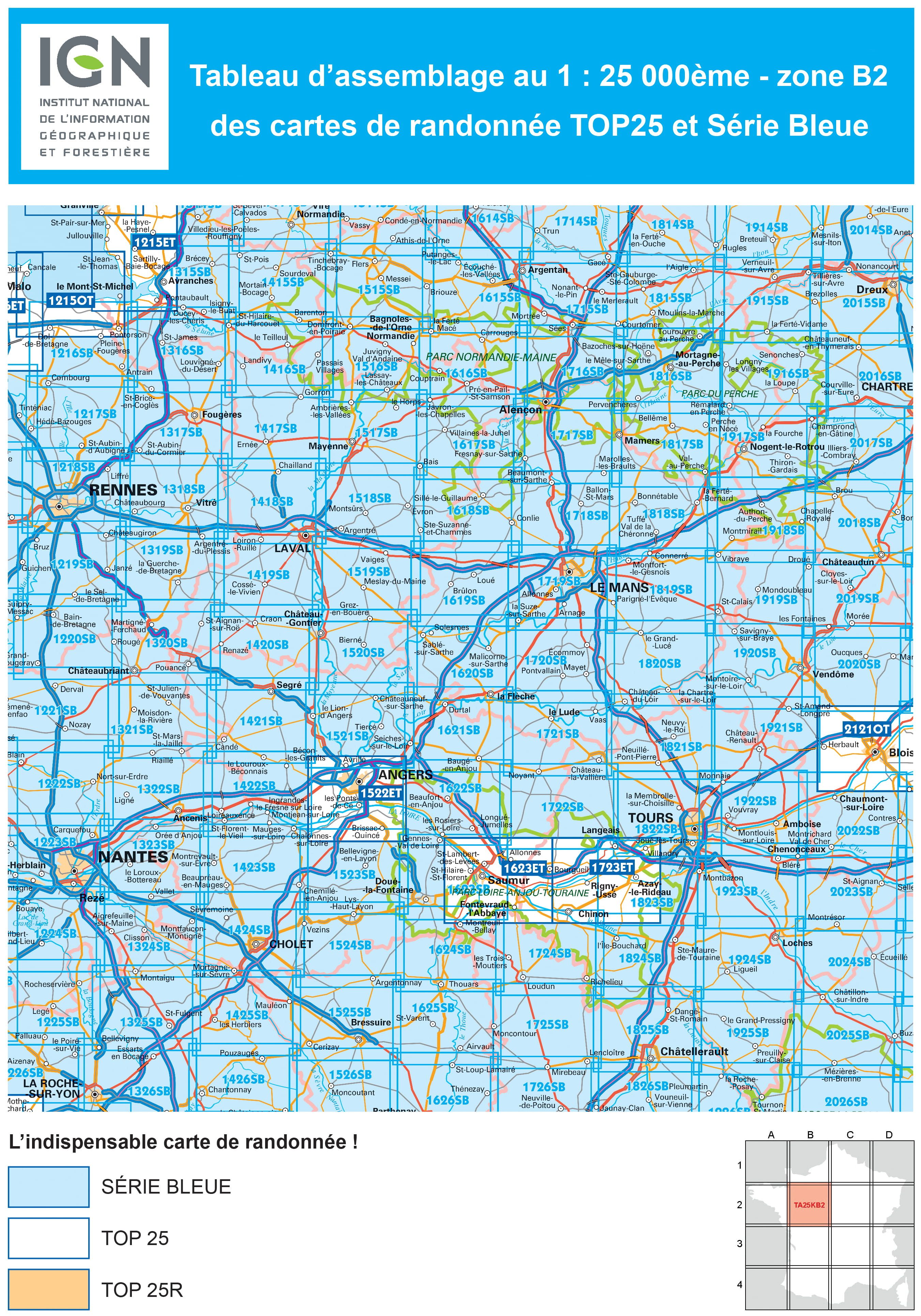
TOP25 et Série Blue ZONE B2
TOP25 et Série Blue ZONE B2
Producten op de overzichtskaart
Klik op een product om naar de detailpagina te gaan.
- Wandelkaart 1215 OT Le Mont-St-Michel & Dol-de-Bretagne - IGN
- Wandelkaart 1216 SB Pontorson & Dol-de-Bretagne - IGN
- Wandelkaart 1217 SB Combourg & St-Aubin-d'Augigné Bretagne - IGN
- Wandelkaart 1218 SB Rennes- Cesson-Sévigné & Liffré - IGN
- Wandelkaart 1219 SB Bruz & Janzé - IGN
- Wandelkaart 1221 SB Guémené & Penfao - IGN
- Wandelkaart 1222 SB Blain & Nort-sur-Erdre - IGN
- Wandelkaart 1223 SB Nantes & St-Herblain - IGN
- Wandelkaart 1223 SB Nantes - St-Herblain - IGN
- Wandelkaart 1224 SB St-Philbert-de-Grand-Lieu - IGN
- Wandelkaart 1225 SB Le Poiré-sur-Vie & Legé - IGN
- Wandelkaart 1226 SB Le Poiré-sur-Vie- Aizenay & Les Achards
- Wandelkaart 1315 SB Ducy-Brécey & Avranches - IGN
- Wandelkaart 1316 ET Milly-la-Forêt, Malesherbes & La Ferté-Alais
- Wandelkaart 1316 SB St-Hilaire-du-Harcouët - St-James - IGN
- Wandelkaart 1317 SB Fougères & St-Brice-en-Coglès - IGN
- Wandelkaart 1318 SB Vitré & Châteaubourg - IGN
- Wandelkaart 1319 SB La Guerche-de-Bretagne - IGN
- Wandelkaart 1320 SB Châteaubriant & Pouancé - IGN
- Wandelkaart 1321 SB St-Mars-la-Jaille - IGN
- Wandelkaart 1322 SB Ancenis & Riaillé - Frankrijk - IGN
- Wandelkaart 1323 SB Vallet & Gesté - IGN
- Wandelkaart 1324 SB Clisson & La Bruffière - IGN
- Wandelkaart 1325 SB Les Essarts & St-Fulgent - IGN
- Wandelkaart 1326 SB La Roche-sur-Yon & Bounezeau - IGN
- Wandelkaart 1415 SB Tinchebray-Bocage & Sourdeval - IGN
- Wandelkaart 1416 SB Le Teilleul & Landivy - IGN
- Wandelkaart 1417 SB Ernée & Gorron - IGN
- Wandelkaart 1418 SB Laval & Port Brillet - IGN
- Wandelkaart 1419 SB Cossé-le-Vivien & L'Huisserie - IGN
- Wandelkaart 1420 SB Craon & Chemazé - IGN
- Wandelkaart 1421 SB Segré & Candé - IGN
- Wandelkaart 1422 SB Chalonnes-sur-Loire - IGN
- Wandelkaart 1423 SB Chemillé & Beaupréau - IGN
- Wandelkaart 1424 SB Cholet & Mortagne-sur-Sèvre - IGN
- Wandelkaart 1425 SB Les Herbiers & Mauléon - IGN
- Wandelkaart 1426 SB Chantonnay - IGN
- Wandelkaart 1515 SB Flers & Briouze - IGN
- Wandelkaart 1516 SB Domfront & Lassay-les-Châteaux - IGN
- Wandelkaart 1517 SB Mayenne & Le Horps - IGN
- Wandelkaart 1518 SB Evron & Montsûrs - IGN
- Wandelkaart 1519 SB Meslay-du-Maine & Vaiges - IGN
- Wandelkaart 1520 SB Château-Gontier & Grez-en-Bouère - IGN
- Wandelkaart 1521 SB Le Lion-d'Angers - IGN
- Wandelkaart 1522 ET Angers - IGN
- Wandelkaart 1522 ET Angers France - IGN
- Wandelkaart 1523 SB Thouarcé & Valanjou - IGN
- Wandelkaart 1524 SB Vihiers & Yzernay - IGN
- Wandelkaart 1525 SB Bressuire & Cerizay - IGN
- Wandelkaart 1526 SB Moncoutant & La Chapelle-St-Laurent - IGN
- Wandelkaart 1614 SB Falaise & Morteaux-Couliboeuf - IGN
- Wandelkaart 1615 SB Argentan- Putanges & Pont-Ecrepin - IGN
- Wandelkaart 1616 SB La Ferté-Macé & Pré-en-Pail - IGN
- Wandelkaart 1617 SB Villaines-la-Juhel & St-Pierre-des-Nids - IGN
- Wandelkaart 1618 SB Sillé-le-Guillaume & Conlie Ste-Suzanne
- Wandelkaart 1619 SB Loué- Brûlon & Noyen-sur-Sarthe - IGN
- Wandelkaart 1620 SB La Flèche & Sablé-sur-Sarthe - IGN
- Wandelkaart 1622 SB Longué - Jumelles & Beaufort - IGN
- Wandelkaart 1623 ET Saumur- Bourgueil & Fontevraud-l'Abbaye
- Wandelkaart 1623 SB Saumur & Doué-la-Fontaine - IGN
- Wandelkaart 1624 SB Thouars & Le Puy-Notre-Dame - IGN
- Wandelkaart 1625 SB Thouars & Airvault - IGN
- Wandelkaart 1626 SB Parthenay & Thénezay - IGN
- Wandelkaart 1714 SB Vimoutiers & Trun - IGN
- Wandelkaart 1715 SB Sées & Gace - Bass-Normandie - IGN
- Wandelkaart 1716 SB Alençon & Sées - IGN
- Wandelkaart 1717 SB Alençon & Marolles-les-Braults - IGN
- Wandelkaart 1719 SB Le Mans & La Suze-sur-Sarthe - IGN
- Wandelkaart 1720 SB Ecommoy & Cérans-Fouilletourte - IGN
- Wandelkaart 1721 SB Le Lude & Château-la-Vallière - IGN
- Wandelkaart 1722 SB Noyant & Savigné-sur-Lathan - IGN
- Wandelkaart 1723 ET Chinon- Langeais & Azay-le-Rideau - IGN
- Wandelkaart 1724 SB Loudun & Richelieu - IGN
- Wandelkaart 1725 SB Lencloître & St-Jean-de-Sauves - IGN
- Wandelkaart 1726 SB Neuville-de-Poitou, Vouillé & Mirebeau - IGN
- Wandelkaart 1814 SB Rugles & La Ferté-Frênel - IGN
- Wandelkaart 1815 SB L'Aigle- Ste-Gauburge & Ste Colombe - IGN
- Wandelkaart 1816 SB Mortagne-au-Perche & Mêle-sur-Sarthe - IGN
- Wandelkaart 1817 SB Mamers - Bellême & Le Theil - IGN
- Wandelkaart 1818 SB La Ferté-Bernard & Bonnétable - IGN
- Wandelkaart 1819 SB Bouloire & Le Grand-Lucé - IGN
- Wandelkaart 1820 SB Château-du-Loir & La Chartre-sur-Loir- IGN
- Wandelkaart 1821 SB Château-du-Loir & Neuillé-Pont-Pierre- IGN
- Wandelkaart 1822 SB Tours & Langeais - IGN
- Wandelkaart 1823 SB Chambray-les-Tours & Langeais - IGN
- Wandelkaart 1824 SB Ste-Maure-de-Touraine & L'Ile-Bouchard IGN
- Wandelkaart 1825 SB Châtellerault & Descartes - IGN
- Wandelkaart 1825 SB Châtellerault & Descartes - IGN
- Wandelkaart 1914 SB Breteuil & La Neuve-Lyre - IGN
- Wandelkaart 1915 SB Verneuil-sur-Avre & Bourth - IGN
- Wandelkaart 1916 SB La Loupe & Rémalard-en-Perche - IGN
- Wandelkaart 1917 SB Nogent-le-Rotrou & Thiron-Gardais - IGN
- Wandelkaart 1918 SB Authon-du-Perche & La Bazoche-Gouët - IGN
- Wandelkaart 1919 SB St-Calais & Droué - IGN
- Wandelkaart 1920 SB Vendôme & Montoire-sur-le-Loir - IGN
- Wandelkaart 1921 SB Château-Renault & St-Amand-Longpré - IGN
- Wandelkaart 1922 SB Amboise & Montlouis-sur-Loire - IGN
- Wandelkaart 1923 SB Bléré- Chenonceaux & Veigné - IGN
- Wandelkaart 1925 SB Preuilly-sur-Claise & le Grand-Pressigny
- Wandelkaart 2014 SB St-André-de-l'Eure & Nonancourt - IGN
- Wandelkaart 2015 SB Dreux & Nonancourt - IGN
- Wandelkaart 2016 SB Chartres & Courville-sur Eure - IGN
- Wandelkaart 2017 SB Illiers-Combray & Bailleau-le-Pin - IGN
- Wandelkaart 2018 SB Châteaudun & Brou - IGN
- Wandelkaart 2019 SB Cloyes-sur-le-Loir - IGN
- Wandelkaart 2020 SB Selommes & St-Ouen - IGN
- Wandelkaart 2022 SB Montrichard & Contres - IGN
- Wandelkaart 2121 OT Blois- Chambord & Cheverny - IGN
- Wandelkaart 2121 OT Blois- Chambord & Cheverny - IGN
- Wandelkaart 2023 SB Montrichard & St-Aignan - IGN
- Wandelkaart 2024 SB Châtillon-sur-Indre - Ecueillé - IGN
- Wandelkaart 2025 SB Buzançais & Mézières-en-Brenne - IGN
- Wandelkaart 2026 SB Saint-Gaultier & Rosney - IGN
Artikelen uit dezelfde regio

Wandelgids D027 l'Eure à pied- 45 circuits à pied - FFR • 9782751410246
Wandelgids D027 - l'Eure à pied- 45 circuits à pied Productomschrijving: Dit departement bestaan grotendeels uit de prachitge valleien van de l'Eure, de Risle en de l'Iton. Zonder de grandiose perspectieven mee te tellen van de Coteaux crayaux van de Seine gedomineerd door het kasteel Château Gaillard. Het omvat het departement die het meest bebost is van alle andere, en één met een hoog c…

Wandelkaart 2108 OT Forêt d'Eu & Blangy-sur-Bresle - IGN • 9782758543404
TOPO Wandelkaart Forêt d'Eu & Blangy-sur-Bresle - IGN Productomschrijving: Blangy-sur-Bresle is een gemeente in het Franse departement Seine-Maritime in de regio Normandië. De plaats maakt deel uit van het arrondissement Dieppe. In de gemeente ligt spoorwegstation Blangy-sur-Bresle. Een gloed nieuwe reeks IGN kaarten: de oude versies met de Est en Ouest (E en O aanduiding achter het nu…
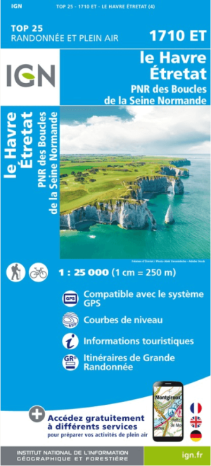
Wandelkaart 1710 ET Le Havre & Etretat - IGN • 9782758541356
Wandelkaart Le Havre & Etretat - IGN Productomschrijving: Deze bevindt zich in de hoek van kustlijn van Frankrijk in Normanië, de kaart omvat het departement van de Seine-Maritimes, en omvat een stuk van het regionaal park (PNR des Boucles Seine Normandie). De TOP 25-serie is de cartografische referentie in Frankrijk: - Een nauwkeurige beschrijving van het grondgebied op een schaal v…

Wandelkaart 1913 SB Bernay & Orbec- Haut-Normandie - IGN • 9782758535539
Wandelkaart 1913 SB - Bernay & Orbec- Haut-Normandie Productomschrijving: Deze topografische kaarten hebben een zeer nauwkeurige gronddetail, niet te vergeten de topografische hoogteprofielen, die het wandelen een stuk gemakkelijker maken. Bernay is een gemeente in het Franse departement Eure (regio Haute-Normandie). De plaats maakt deel uit van het arrondissement Bernay. Desciptive p…
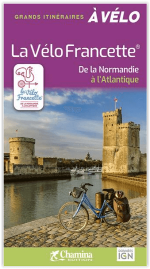
Fietsgids Vélo Francette de la Normandie à L'Atlantique - Chamina • 9782844667175
Vélo Francette de la Normandie à L'Atlantique - Chamina Productomschrijving: Élue « meilleure véloroute d’Europe » en 2017, la Vélo Francette est une véloroute de plus de 650 km qui relie Ouistreham à La Rochelle en traversant 3 régions (Normandie, Pays de la Loire, Nouvelle-Aquitaine). Elle assure l’interconnexion avec les autres grands itinéraires de l’ouest de la France: la Véloscénie,…