

Wandelgids West Highland Way Map Booklet - Cicerone
Milngavie - Loch Lomond - Rannoch Moor - Fort William


Korte omschrijving
Wandelgidsen Highlands, Schotland van CICERONE Press. Ideaal voor tochten in Schotland.
The West Highland Way Map Booklet - Cicerone Productomschrijving: Dit compacte kaartboekje toont de volledige route van de 152,88 km lange Schotse langeafstandsroute West Highland Way, via ...

Specificaties
- Uitgever: CICERONE Press
- ISBN-13: 9781786311788
- HOOFDCATEGORIEËN: Wandelgids
- Activiteiten: Wandelen, Hiking & Trekking
- Auteur: Terry Marsch
- Regio: Highlands, Schotland
- Land: Schotland
- Toepasselijke bergketen: Schotse Highlands, Schotland
- Lange afstand wandelroutes: West Highland Way, Schotland (152 km)
- Schaal: 1:25000
- Editie: 2
- Taal: Engels
- Reeks/Serie: Map Booklet, Cicerone
- Iconische Bergketens van Europa: De Schotse Highlands
- Iconische Wandelroutes: West Highland Way, Schotland
- Scotlands Great Trails: West Highland Way
Volledige omschrijving
The West Highland Way Map Booklet - Cicerone
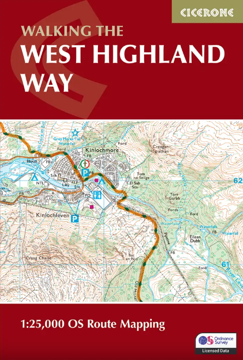
Productomschrijving: Dit compacte kaartboekje toont de volledige route van de 152,88 km lange Schotse langeafstandsroute West Highland Way, via Loch Lomond en Rannoch Moor. Dit boekje is inbegrepen bij de Cicerone gids voor de route en toont de volledige route op Ordnance Survey 1:25.000 kaarten.
Engelse omschrijving: This compact booklet of maps shows the full route of the 95 mile West Highland Way Scottish Long Distance Route, via Loch Lomond and Rannoch Moor. This booklet is included with the Cicerone guidebook to the trail, and shows the full route on Ordnance Survey 1:25,000 maps.
Seasons:
May-June and September-October avoid the worst of the midges, but suitably experienced backpackers can do this walk at any time of year.
Centres:
Milngavie, Drymen, Crianlarich, Tyndrum, Kinlochleven, Fort William.
Difficulty:
The walking is not difficult for anyone accustomed to regular walks longer than 10 miles, although there is ample scope to shorten almost all of the days, and to offload the pack carrying onto an independent service that will transport your baggage for you.
Must See:
Loch Lomond, Rannoch Moor, Glencoe, Buachaille Etive Mòr, the Devil's Staircase, Lairig Mòr.

Gekoppelde artikelen
Wandelgids West Highland Way - Cicerone • 9781786311771
standaard versieWandelgids West Highland Way - Cicerone Productomschrijving: Wandelgids voor de West Highland Way National Trail, een Schotse langeafstandsroute van Milngavie bij Glasgow naar Fort William van 95 mijl, langs Loch Lomond en over Rannoch Moor. Voorgestelde routes van 6 tot 9 dagen. Inclusief accommodatiegids en uittrekbaar boekje met 1:25K OS-kaarten. Egelse omschrijving: Guidebook to wa…
Wandelgids The West Highland Way - Rucksack Readers • 9781913817213
standaard versieThe West Highland Way - Rucksack Readers Productomschrijving: Een unieke intussen zeer gekende wandelroute, die loopt van Milngavie nabij Glasgow tot Fort William door de Schotse Hooglanden. De Route is 152 km Lang en brengt u door de westelijke Highlands van Schotland starten vanuit Glasgow. Engelse omschrijving: The West Highland Way is the first, and remains the most famous, of Scot…
Artikelen uit dezelfde regio
Wandelkaart 436 Beinn Dearg & Loch Fannich Schotland- OSI • 9780319246689
Wandelkaart Beinn Dearg & Loch Fannich - Schotland Productbeschrijving: Ullapool. 436 / Beinn Dearg & Loch Fannich, Highlands Schotland - Een van de meest dunbevolkte gebieden op het Britse vasteland, met 14 Monro's op OS Explorer kaart 436. Waar de pieken samen een cluster vormen, zijn er routes die u toestaan om verschillende toppen op een enkele wandeling te bereiken. De OS Explor…

Wandelkaart 377 Loch Etive & Glen Orchy- Schotland - OSI • 9780319472446
Wandelkaart Loch Etive & Glen Orchy - Highlands Schotland Omvat ook: Dalmally, Tyndrum, Bridge of Orchy & Taynuilt. Productbeschrijving: Dubbel zijdige OS Explorer kaart 377 toont de omgeving van Loch Etive tot aan Loch Lomond en de Trossarchs National Park. Naast een substantieel deel van de West Highland way zijn er 21 Munro's om op zak te steken, samen een deel van de Ben Nevis en d…
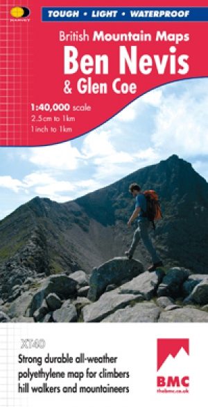
Wandelkaart Ben Nevis and Glen Coe Schotland - Harvey maps • 9781851374434
Wandelkaart Ben Nevis and Glen Coe Schotland - Harvey maps Productomschrijving: Verbluffende nieuwe kaart van Ben Nevis en Glen Coe bergen. "Deze uitstekende Ben Nevis en Glen Coe kaart biedt alle details die nodig zijn voor de veilige navigatie op deze iconische bergen". Afgedrukt op polyethyleen - duurzaam, scheurbestendig en 100% waterdicht. Gemaakt in samenwerking met de British Counci…
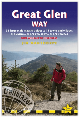
Wandelgids The Great Glen Way - Trailblazer • 9781912716104
The Great Glen Way - Trailblazer Publications Productomschrijving: The Great Glen Wayfrom Fort William to Inverness. Het langeafstandswandelpad Great Glen Way begint waar de West Highland Way eindigt - in Fort William - en volgt de breuklijn van de Great Glen om na 79 mijl (127 km) te eindigen in Inverness. Het pad loopt langs Loch Lochy, Loch Oich en Loch Ness en volgt ook het jaagpad van…
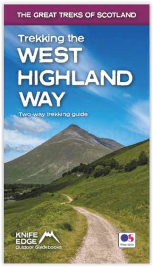
Wandelgids West Highland way trekking guide - Knife Edge • 9781912933112
West Highland way trekking guide - Knife Edge Productomschrijving: De West Highland Way, één van de "Great Trails" van Schotland, voert over een afstand van 96 mijl door een subliem landschap, van de buitenwijken van Glasgow naar Fort William. Tussendoor zijn er ontelbare prachtige bergen, prachtige valleien, glinsterende lochs en schijnbaar eindeloze kilometers paarse heide te beleven. De…