

Wandelgids Via Francigena - Part 2 Saint Bernard Pass > Toscane - Cicerone
725 km over de Great Saint Bernard Pass naar Toscane
Korte omschrijving
Wandelgidsen Wallis, Zwitserland van CICERONE Press. Ideaal voor tochten in Italië en Zwitserland.
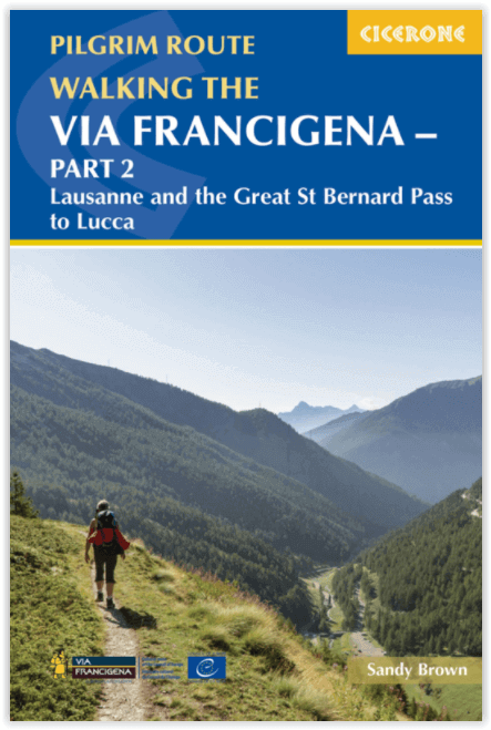
Via Francigena pilgrim route - Part 2 Productomschrijving: Deze gloed nieuwe gids beschrijft Deel 2 van de pelgrimroute tussen Lausanne in Zwitserland tot de stad Lucca in Italië. De 725 km ...

Specificaties
- Uitgever: CICERONE Press
- ISBN-13: 9781786310866
- HOOFDCATEGORIEËN: Wandelgids
- Activiteiten: Wandelen, Hiking & Trekking
- Regio: Wallis, Zwitserland
- Land: Italië, Zwitserland
- Bedevaart routes: Via Francigena Lausanne tot Lucca - Part 2
- Editie: 1
- Taal: Engels
- De Italiaanse Regio's: Toscane
- Iconische Wandelroutes: Via Francigena - Canteburry tot Rome
Volledige omschrijving
Via Francigena pilgrim route - Part 2
Productomschrijving: Deze gloed nieuwe gids beschrijft Deel 2 van de pelgrimroute tussen Lausanne in Zwitserland tot de stad Lucca in Italië. De 725 km lange trek loopt over de Alpen via de grote Saint Bernard Pass, daalt dan af naar de Po vallei, over de Cisa pass tot in Toscane in 32 etappes
Engelse omschrijving: Guidebook to the Via Francigena pilgrim route from Lausanne to Lucca. Starting at Lake Geneva (Lac Léman), the 725km route crosses the Alps at historic Great Saint Bernard Pass, descends the Po Valley, then climbs to cross the Cisa Pass into Tuscany. Described in 32 stages, with information on facilities and pilgrim hostels.
- Seasons:
Suitable for walking in spring, summer and autumn. The Great Saint Bernard Pass is fully open to hikers only in August and September.
- Centres:
Lausanne, Martigny, Great Saint Bernard Pass, Aosta, Ivrea, Vercelli, Pavia, Piacenza, Pontremoli, Pietrasanta, Lucca.
- Difficulty:
Each stage is graded for difficulty (1-4). A few mountainous stages include steep and slippery slopes. No special gear is required to walk the Via Francigena in season, but off-season crossings of the Great Saint Bernard Pass require winter mountain gear and careful attention to changing mountain conditions.
- Must See:
Dazzling Lake Geneva, the 1500-year-old Abbey of Saint-Maurice, the spectacular 2469m Great Saint Bernard Pass across the Alps, the emerald peaks of Italy's Aosta Valley, well-preserved medieval cities of Vercelli, Pavia and Piacenza, spectacular views from the Monte Valoria at the Cisa Pass, resorts of the Lunigiana coastline and the charming walled city of Lucca.

Locatie op kaart
Artikelen uit dezelfde regio
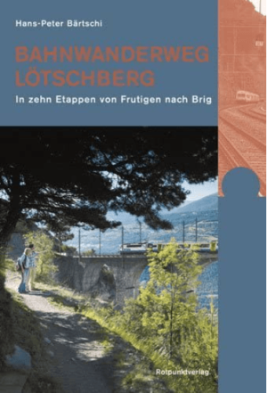
Wandelgids Bahnwanderweg Loetschberg - Rotpunkt Verlag • 9783858693839
Bahnwanderweg Loetschberg - Rotpunkt Verlag Productomschrijving: Bahnwanderweg Lötschberg, is een Duitstalige wandelgids voor wie de historische Lötschbergroute te voet wil ontdekken. De gids beschrijft een meerdaagse wandelroute in 10 etappes van Frutigen naar Brig, langs een van de bekendste spoortrajecten van Zwitserland. Daarmee combineert dit boek wandelen, spoorweggeschiedenis, bergl…
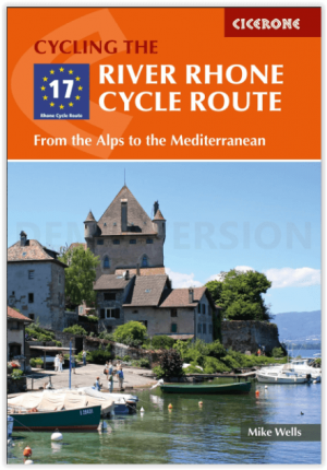
Fietsgids River Rhone Cycle Route - Cicerone • 9781786310828
River Rhone Cycle Route - Cicerone Productomschrijving: 895 km in 20 etappes - Deze gids omvat de fietsroute van de Rhône, een 895 km lange rit door Frankrijk en Zwitserland van de Zwitserse Alpen naar de Middellandse Zee. Verdeeld in 20 etappes, elk ongeveer 45 km lang, kan de route door de meeste fietsers in 10-14 dagen worden afgelegd. Inclusief informatie over voorbereiding, navigatie,…
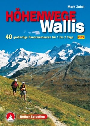
Wandelgids & klimgids Wallis Höhenwege - Rother • 9783763331284
Wandelgids & klimgids - Wallis Höhenwege - Rother Productomschrijving: De aanblik van zijn krachtige vierduizenders van de Walliser oefent onweerstaanbare charmes uit. Niet alleen alpine bergbeklimmers, ook wandelaars kunnen deze prachtige omgeving beleven en prachtig panoramisch paden aflopen. De Matterhorn en de Monte Rosa, de Aletschgletsjer en Grand Combin zijn slechts een paar van de …

Wandelkaart 1349 Monto Moro Wallis - Swisstopo • 9783302013497
Wandelkaart Monto Moro - Wallis Zwitserland - Swisstopo Productomschrijving: Kaart 1349 - Gelegen op de Zwitserse Italiaanse grens vlak naast het Parco Naturale dell'Alta Valle Antrona Detail: Zeer gedetailleerde topografische kaarten & wandelkaarten van een klein stuke Zwitserland met schaal 1:25.000.en nr 1011 > 1374. De topografische details van deze kaarten zijn onmetelijk goed; de…

Schönsten Dreitagestouren in den Schweizer Alpen - Werd Verlag • 9783039021536
Schönsten Dreitagestouren in den Schweizer Alpen - Werd Verlag Productomschrijving: Met "Drei Tage für eine Welt" trek je drie dagen diep de Zwitserse Alpen in. Deze Duitstalige wandelgids van David Coulin bundelt de mooiste driedaagse bergwandelingen voor wie méér wil dan een korte dagtocht, maar geen volledige trektocht van twee weken wil plannen alsof vakantie een militaire operatie is.…