

Wandelgids The Wicklow Way - Rucksack Readers
Tussen Marlay Park (Dublin) en Clonegal 132 km

Korte omschrijving
Wandelgids Wicklow Way - Rucksack Readers Productomschrijving: De Wicklow Way is Ierlands eerste en populairste Waymarked Way en loopt tussen Marlay Park (Dublin) en Clonegal, 82 mijl (132 k...

Specificaties
- Uitgever: RUCKSACK READERS
- ISBN-13: 9781898481904
- HOOFDCATEGORIEËN: Wandelgids
- Activiteiten: Wandelen, Hiking & Trekking
- Regio: Wicklow, Ireland
- Land: Ierland
- Lange afstand wandelroutes: Wicklow Way, Ireland (132 km)
- Schaal: 1:100000
- Editie: 3
- Taal: Engels
- Iconische Wandelroutes: Wicklow Way, Ierland
Volledige omschrijving
Wandelgids Wicklow Way - Rucksack Readers
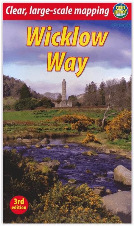
Productomschrijving: De Wicklow Way is Ierlands eerste en populairste Waymarked Way en loopt tussen Marlay Park (Dublin) en Clonegal, 82 mijl (132 km) naar het zuiden. Het biedt gevarieerde en schilderachtige wandelingen op de flanken van de ruige Wicklow bergen met meren en watervallen, langs historische gebouwen en gastvrije dorpjes. Een groot deel van de route ligt op meer dan 500 meter hoogte, wat schitterende uitzichten oplevert. Lagere delen lopen door bossen en boerenland, over een mengsel van paden, wegen en paden die rijk zijn aan wilde dieren.
Deze editie is gebaseerd op een onderzoeksreis gemaakt in het voorjaar van 2008, herzien in 2011 en opnieuw in 2015 en 2017. Het heeft veel route updates, extra foto's en het verklaart nieuwe opties voor accommodatie.
Engelse omschrijving: The Wicklow Way is Ireland's first and most popular Waymarked Way, running between Marlay Park (Dublin) and Clonegal, 82 miles (132 km) to the south. It offers varied and scenic walking on the flanks of the rugged Wicklow mountains with loughs and waterfalls, passing historic buildings and hospitable villages. Much of the route lies over 1600 feet (500 metres) giving glorious views. Lower sections run through forests and farmland, over a mixture of tracks, roads and pathways rich in wildlife.
This edition is based on a research trip made in Spring 2008, revised in 2011 and again in 2015 and 2017. It has many route updates, extra photographs and it explains new options for accommodation.
It contains all you need to plan and enjoy your holiday on the Wicklow Way:
• Detailed route description, updated in 2017, with distance, terrain and food and drink
• The secrets of how to book accommodation to avoid walking extra distances
• Concise background on history, geology and wildlife
• Extended 6-page feature on the monastic city of Glendalough
• Planning information for travel by car, train, bus or plane
• In full colour, with 80 photographs.
• Drop-down map of the Wicklow Way in five panels (1:100,000)
• On waterproof paper throughout.

Locatie op kaart
Artikelen uit dezelfde regio

Wandelkaart Adventure Series Wicklow North - OSI • 9781908852366
Wandelkaart Wicklow North - OSI Productomschrijving: This map is situated in south County Dublin, a small portion of County Kildare and north County Wicklow. A section of the southern end of the M50 is shown along with the M11/ N11. The N81 from Dublin to Blessington also features. Wicklow North adventure map covers: the key towns of Blessington and Bray. Among the villages shown …

Wandelkaart Adventure Series Wicklow Central - OSI • 9781908852373
Wandelkaart Wicklow Central - OSI Productomschrijving: The R756 and R755 are shown on the map along with the railway line running through Rathdrum. This map shows the towns and villages of Roundwood, Laragh, the Vale of Glendalough, Glenealy, Rathdrum, Ballyknockan and Hollywood. Lugnaquillia, the highest mountain in Wicklow, features on this map. Mullaghcleevaun is the second hig…