

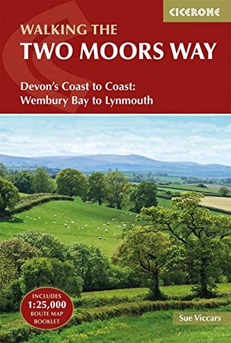
Wandelgids The Two Moors Way - Cicerone
Two Moors Way beslaat 153 km van Ivybridge naar Lynmouth
Korte omschrijving
Wandelgidsen Devon, England van CICERONE Press. Ideaal voor tochten in England.
Wandelgids, The Two Moors Way (9781852849917) Cicerone Press Productomschrijving: De oorspronkelijke Two Moors Way beslaat 153 km van Ivybridge aan de zuidelijke grens van Dartmoor National ...

Specificaties
- Uitgever: CICERONE Press
- ISBN-13: 9781852849917
- HOOFDCATEGORIEËN: Wandelgids
- Activiteiten: Wandelen, Hiking & Trekking
- Auteur: Sue Viccars
- Regio: Devon, England
- Land: England
- Lange afstand wandelroutes: The Two Moors Way, England (153 km)
- Nationale parken: Dartmoor NP, Devon England, Exmoor NP, Devon England
- Editie: 2
- Taal: Engels
Volledige omschrijving
Wandelgids, The Two Moors Way (9781852849917) Cicerone Press
Productomschrijving: De oorspronkelijke Two Moors Way beslaat 153 km van Ivybridge aan de zuidelijke grens van Dartmoor National Park naar Lynmouth aan de kust van Noord-Devon in Exmoor National Park. Als u een Coast to Coast-wandeling wilt maken, kunt u beginnen bij Wembury aan de kust van Zuid-Devon en de Erme-Plym-route volgen naar Ivybridge, waarbij u ongeveer 15 mijl toevoegt.
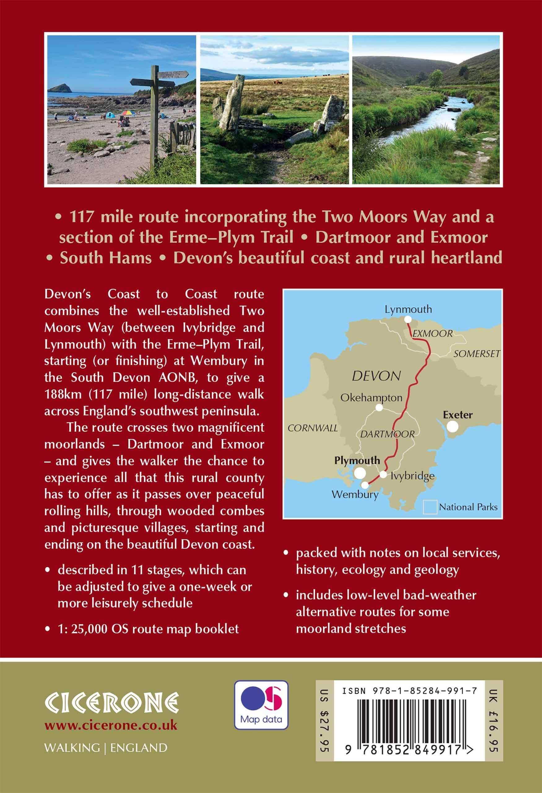
Product description: This guidebook to walking Coast to Coast across Devon, presents a 117 mile route incorporating the Two Moors Way and a section of the Erme-Plym Trail. Beginning at Wembury Bay on the south coast and finishing at Lynmouth, the 11-stage walk passes through the beautiful Devon countryside and across two of southwest England’s magnificent moorlands, Dartmoor and Exmoor. The schedule can be adjusted to give a one-week walk, or a more leisurely pace if preferred, and the book includes low-level bad-weather alternative routes for some moorland stretches.
A full route description is given for walking the route from south to north, with a summary description for walking in the opposite direction. 1:50,000 map extracts show the route and there is lots of practical information on public transport, refreshments and accommodation to make day-by-day planning simple. A map booklet showing the full route on OS 1:25K maps is included with this guide. The county of Devon incorporates a wonderful range of landscapes, from the rolling fields of South Devon and the narrow-hedged lanes of Mid Devon to the wild, wide-open spaces of Dartmoor, home to hill ponies, granite tors and Bronze Age relics. To the north, Exmoor’s sandstone moorland sweeps down to the sea, and lofty coastal hills tower over the Bristol Channel

Locatie op kaart
Artikelen uit dezelfde regio
Wandelkaart 180 Barnstable & Ilfracombe- Devon England - OSI • 9780319262788
Wandelkaart Barnstable & Ilfracombe - Devon England Productbeschrijving: Kaart nummer 180 is een all purpose kaart vol gepakt met informatie om u het gebied te helpen leren kennen. De 204 Landranger-kaarten bestrijken het land. Elke kaart heeft een oppervlakte van 40 km door 40 km (25 mijl door 25 mijl) en zoals andere kaarten van Ordnance Survey, National Grid-vierkanten worden verstrekt …

Fietskaart Dartmoor National Park - Harvey maps • 9781851374540
Fietskaart - Dartmoor National Park - Harvey maps Productomschrijving: Eén zijde voor mountainbiken, en één zijde voor cyclustoeren, deze stevige, duurzame en waterdichte kaart van Dartmoor en het omliggende gebied is specifiek gemaakt voor het buitenleven. Gemaakt in samenwerking met Dartmoor National Park autoriteit, toont de berg vele off-road fietsroutes. De cyclustouringszijde toont h…

Wandelgids 001 Pathfinder guides South Devon & Dartmoor NP - OS • 9780319090084
Wandelgids South Devon & Dartmoor NP - OS Productomschrijving: Each of the Pathfinder titles features 28 circular routes, all tried and tested by seasoned walkers. The routes range from extended strolls to exhilarating hikes, so there is something for everyone. 28 circular walks • Graded by length ranging from 3 to 12 miles • Clear, large scale Ordnance Survey maps • GPS referen…

Wandelkaart XT25 Exmoor NP Devon England - Harvey maps • 9781851376858
Wandelkaart Exmoor Nqtional Park - Harvey maps Productomschrijving: Meer dan een kaart - een essentieel stuk gereedschap. Deze nieuwe generatie HARVEY Superwalker is ontworpen om het meest praktische hulpmiddel te zijn voor navigatie buitenshuis. - Het hele Exmoor National Park op één blad - Bestrijkt Combe Martin in het westen, Minehead aan de noordkust en Exebridge in het zuiden …
Wandelkaart 126 Clovelly & Hartland- Devon England - OSI • 9780319470015
Wandelkaart Clovelly & Hartland - Devon England - OSI Productbeschrijving: Kaart nummer 126 in de OS Explorer reeks omvat Clovelly, Bideford, Hartland, Bradworthy en great Torrington. Hoogtepunten van het gebied zijn onder andere: Noord-Devon en Cornwall AONB, rivier Torridge en Tamar, Hartland punt, Barnstaple en Bideford Bay en Coombe. Ook omvat een deel van de South West Coast Path. De …