

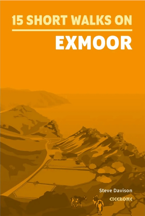
Wandelgids Short walks Exmoor NP - Cicerone
Dunkery Beacon- Valley of Rocks- Allerford- Selworthy- Tarr Steps

Korte omschrijving
Wandelgidsen Devon, England van CICERONE Press. Ideaal voor tochten in England.
Wandelgids Short walks Exmoor - Cicerone Productomschrijving: Would you like to explore the best of Exmoor? This guidebook covers 15 of the area's best short walks (between 4.5 and 11km, all...

Specificaties
- Uitgever: CICERONE Press
- ISBN-13: 9781786311900
- HOOFDCATEGORIEËN: Wandelgids
- Activiteiten: Wandelen, Hiking & Trekking
- Auteur: Steve Davison
- Regio: Devon, England
- Land: England
- Nationale parken: Exmoor NP, Devon England
- Editie: 1
- Taal: Engels
- De Nationale Parken: Exmoor Nationaal Park, Devon England
Volledige omschrijving
Wandelgids Short walks Exmoor - Cicerone
Productomschrijving: Would you like to explore the best of Exmoor? This guidebook covers 15 of the area's best short walks (between 4.5 and 11km, all under three hours)
Includes: Dunkery Beacon, Valley of Rocks, Allerford, Selworthy, Tarr Steps, Great Hangman, Dunster and Malmsmead.
Why choose this guidebook?
- Easy to moderate walks suitable for almost everyone
- Short climbs but no challenging terrain
- Numbered points which tie maps to clear route description
- Details of public toilets and refreshments along the route
- Route Summary Table to help you choose your walk
- Cicerone’s Short Walks guidebooks contain everything you need to get outdoors and discover the best of an area. The routes are perfect if you’re new to walking or looking for something you can enjoy with the whole family. Let the adventures begin!

Artikelen uit dezelfde regio

Wandelkaart 113 Okehampton- Devon England - OSI • 9780319243145
Wandelkaart Okehampton - Devon England - OSI Omvat ook: Hatherleigh, North Tawton & Lapford Productomschrijving: Kaart nummer 113 in de OS Explorer kaarten reeks is ideaal voor het ontdekken van het Hatherleigh, North Tawton en Lapford gebied rond het noorden van Dartmoor national park. Dit gebied van Devon is rijk aan natuur en daarom perfect voor al degenen die gepassioneerd zijn ove…

Wandelkaart 202 Torbay - South Dartmoor NP - OSI • 9780319263976
Wandelkaart Torbay - South Dartmoor NP - OSI Productomschrijving: De Landranger kaart nummer 202 is een kaart voor alle doeleinden, boordevol informatie om u te helpen een gebied echt te leren kennen. Elke kaart bestrijkt een gebied van 40 km bij 40 km. Deze kaart van Torbay & South Dartmoor omvat ook: Totnes, Salcombe, Totcross, Brixham, Paignton, Torquay, Newton Abbot, Ivybridge, Ho…

Wandelgids 026 Pathfinder guides Dartmoor National Park - OS • 9780319090305
Wandelgids Dartmoor National Park Devon - OS Productomschrijving: Discover the rugged, iconic landscape of Dartmoor National park, with this selection of 28 walks designed to help you find the best it has to offer. While largely uninhabited wilderness with few villages, farms and roads, there are still plenty of opportunities for walks of all levels. Some of the most significant featu…

Wandelkaart 191 Okehampton & North Dartmoor NP - OSI • 9780319262894
Wandelkaart Okehampton & North Dartmoor NP - England Productbeschrijving: Kaart nummer 191 in de OS Landranger kaarten reeks, is de perfecte kaart om te gebruiken bij het plannen van een reis naar het Okehampton gebied van Devon. Het gebied heeft veel te bieden voor vakantiegangers en dagjesmensen die uitstekend wandel- en landschappen willen beleven. Hoogtepunten van het gebied zijn onde…
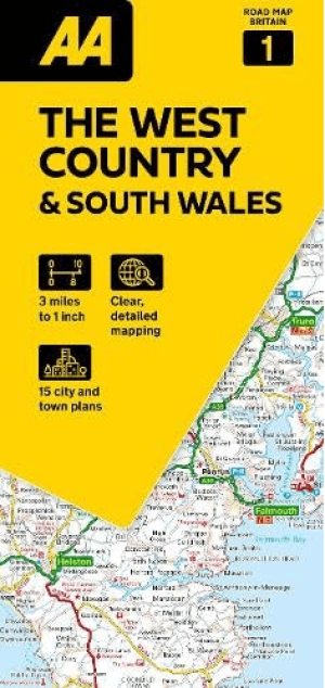
Landkaart Wegenkaart 01 West Country & Wales Zuid - AA Road Maps • 9780749584641
Wegenkaart 01 West Country & Wales Zuid - AA Road Maps Productomschrijving: AA Road Map West Country & South Wales is a practical and slimline, foldable map from the experts at the AA. Encased in a durable, weatherproof cover, the mapping is produced at a scale of 3 miles to 1 inch (1:200,000 / 2km to 1cm) combining clear design, an easy-to-read scale and more road detail to ensure that yo…