

Wandelgids North York Moors walking guide - Cicerone
Een dikke 50 wandelingen doorheen dit nationale park
Korte omschrijving
Wandelgidsen Yorkshire, England van CICERONE Press. Ideaal voor tochten in England.
Wandelgids - North York Moors walking guide - Cicerone Productomschrijving: Dit zeer bekende nationale park behoort tot de mooiste van Engeland. Het park is waliswaar zonder hoge bergtoppen,...

Specificaties
- Uitgever: CICERONE Press
- ISBN-13: 9781852849511
- HOOFDCATEGORIEËN: Wandelgids
- Activiteiten: Wandelen, Hiking & Trekking
- Auteur: Paddy Dylan
- Regio: Yorkshire, England
- Land: England
- Nationale parken: North York Moors NP, England
- Editie: 2
- Taal: Engels
- De Nationale Parken: North Yorkshire Moors National Park, England
- De Engelse Graafschappen: North Yorkshire

Volledige omschrijving
Wandelgids - North York Moors walking guide - Cicerone
Productomschrijving: Dit zeer bekende nationale park behoort tot de mooiste van Engeland. Het park is waliswaar zonder hoge bergtoppen, maar is en blijft een prachtig gebied, waar de Engelsen goed voor zorgen. Deze gids brengt u een dikke 50 wandelingen doorheen de North York Moors Nationaal Park. Kies er éne uit en neem een duik in de Engelse binnenlandse fauna & flora.
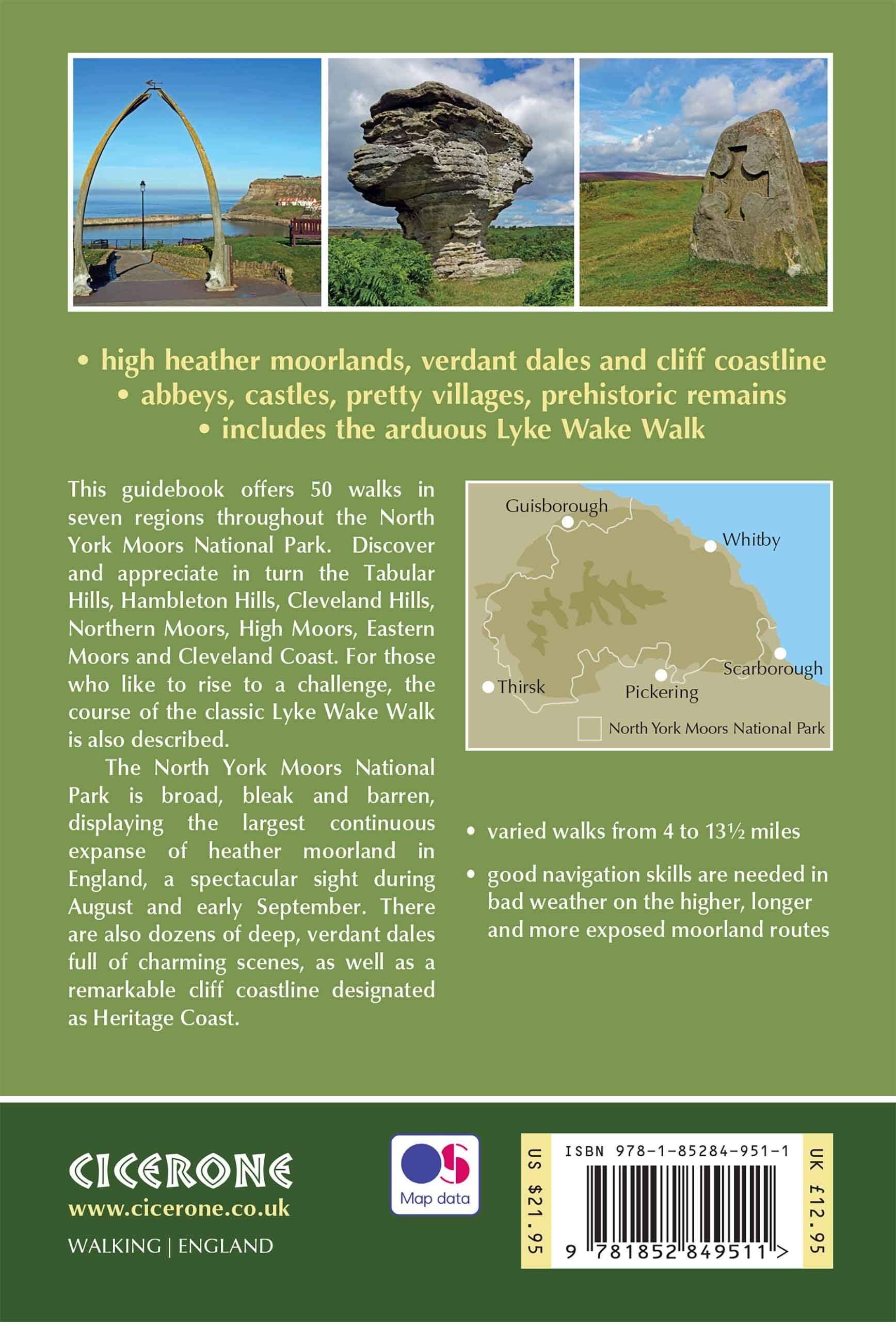
Product description : This guidebook describes 50 circular day walking routes in the North York Moors. The moors offer no great height but cover seven regions; the Tabular Hills, Hambleton Hills, Cleveland Hills, Northern Moors, High Moors, Eastern Moors and Cleveland Coast. There is also a four-day route following the classic Lyke Wake Walk.
Regions; the Tabular Hills, Hambleton Hills, Cleveland Hills, Northern Moors, High Moors, Eastern Moors and Cleveland Coast. There is also a four-day route following the classic Lyke Wake Walk. Seasons: Spring and autumn are ideal to explore the North York Moors. Weather an issue on unsheltered moorland in winter; and accommodation is busy in summer.Centres: Great Ayton, Helmsley, Hutton-le-Hole, Pickering, Whitby, Osmotherley, Scarborough, Thisk, Guisborough.
Difficulty: Varied walks from 4 to 14 miles. Exposed moorland walks to coastal strolls.
Must See: Rievaulx Abbey, Kilburn white horse, industrial archaeology, the high moors, coastal path Whitby – Robin Hood’s Bay.

Locatie op kaart
Artikelen uit dezelfde regio
Fietsgids Cycling The Yorkshire Dales - Cicerone • 9781786310170
Fietsgids - Cycling The Yorkshire Dales - Cicerone Productomschrijving: Deze gids beschrijft 23-dagroutes, gesorteerd op afstand, klimgradatie en algehele helling, allemaal geschikt voor racefietsen en geïllustreerd met gedetailleerde kaarten en profielen. Bovendien neemt een route van zes etappes alle hoogtepunten in beslag, waaronder Grassington, Leyburn, Hawes, Kirkby Stephen, Ingleton …

Wandelgids 50 walks in West Yorkshire - AA Publi. • 9780749583798
50 walks in West Yorkshire - AA Publishing Productomschrijving: West Yorkshire, een regio die de perfecte balans biedt tussen natuur en stedelijke charme, heeft veel te bieden voor wandelaars. De gids "50 Walks in West Yorkshire" neemt je mee langs schilderachtige routes door glooiende landschappen, historische locaties en levendige steden. Wat Kun Je Verwachten? Prachtige Natuur: …

Fietskaart Yorkshire Dales West - Harvey maps • 9781851374656
Fietskaart Yorkshire Dales West - Harvey maps Productomschrijving: Gedetailleerde wandel-, fiets- en off-roadkaart die GPS compatibel is. Omvat nauwkeurig geselecteerde off-road fietsroutes. Met een groot gebied op een compact blad. De Yorkshire Dales West omvatten bovenste Ribblesdale, met inbegrip van de Yorkshire 3 pieken - Whernside, Ingleborough en Pen y Gent, de Howgill Fells, en Den…

Wandelkaart 07 Yorkshire Dales Centraal - AA • 9780749573157
Wandelkaart 07 - Yorkshire Dales Centraal - AA Productomschrijving: AA, in samenwerking met Ordinance Survey, heeft een reeks kaarten ontwikkeld die zich op populaire toeristische bestemmingen van de UK richten, zodat meerdere OS-kaarten niet vereist zijn. Deze kaart richt zich op de centrale Yorkshire Dales uit Lofthouse in het oosten aan Settle in het westen en uit Malham in de Zuid-toLa…

Reisgids Go Slow North York Moors & Yorkshire Wolds - Bradt • 9781804690093
Reisgids North York Moors national park - Bradt Productomschrijving: Inwoner van Yorkshire, natuurliefhebber en reisschrijver Mike Bagshaw (Auteur) heeft deze nieuwe 3e van Bradt's North York Moors & Yorkshire Wolds, onderdeel van Bradt's bekroonde serie Go Slow travel gidsen over Britse regio's, grondig bijgewerkt. Het blijft de enige zelfstandige gids voor deze regio van contrasten. Wand…