Wandelgids Munich to Venice - Cicerone
570 km - De Droom weg door Duitsland en Italië
Korte omschrijving
Wandelgids - Munich to Venice - Cicerone Productomschrijving: Gids naar "Der Traumpfad", de 'Droom weg', door Duitsland en Italië, 570km van München naar Venetië over enkele van de beste & m...

Specificaties
- Uitgever: CICERONE Press
- ISBN-13: 9781852848040
- HOOFDCATEGORIEËN: Wandelgids
- Activiteiten: Wandelen, Hiking & Trekking
- Auteur:: John Hayes
- Regio: Munchen, Duitsland, Trentino Alto Adige, Veneto, Italië
- Land: Duitsland, Italië
- Editie: 1
- Taal: Engels
Volledige omschrijving
Wandelgids - Munich to Venice - Cicerone
Productomschrijving: Gids naar "Der Traumpfad", de 'Droom weg', door Duitsland en Italië, 570km van München naar Venetië over enkele van de beste & mooiste landschappen in de Alpen. opgedeeld in 30 etapes, beschreven in de gids zijn ook 5 alternatieve stadia en een dagje via ferrata in de Dolomieten. Omvat de volledige informatie en accomodatie lijsten die nodig zijn voor de trek.
Productdescription: Guidebook to Der Traumpfad, 'Dream Way', through Germany and Italy, 570km from Munich to Venice across some of the best scenery in the Alps. Split into 30 stages, the guide also describes 5 alternate stages and a day's via ferrata in the Dolomites. Includes full information and accommodation lists needed for the trek.
This guidebook describes the 570km (354 mile) Traumpfad or 'Dream Way', an Alpine trek from Munich's Mariënplatz to the Piazza San Marco in Venice. The route is broken into 30 stages of between 5hrs 30mins and 9hrs, graded according to difficulty, with 5 alternative stages and the option to spend a day traversing a section of Italy's famous via ferrata in the Dolomites. Previous experience of Alpine trekking is not necessary as the route is suitable for most able walkers: however, a head for heights is essential.
Known as 'Europe’s playground', the Alps boast an unrivalled walking infrastructure and breath-taking views of angular peaks, flower-strewn valleys and verdant slopes. Hugely popular with German trekkers but little-known in the English-speaking world, Der Traumpfad revels in this stunning scenery. The route passes through German Bavaria then Austria before entering the Italian Tyrol, taking advantage of the region's extensive network of mountain huts for accommodation en route.
With custom-designed mapping and stunning colour photography, the guide has all you need to get the best from your trek. Alongside detailed route descriptions, there is useful practical advice on when to go, what to take and refreshment stops, background information on the region's fascinating history, plants and wildlife and full contact details for over 80 places to stay. The result is an ideal companion to discovering this amazing route, regarded by many German trekkers as 'the hiking experience of a lifetime'.

Locatie op kaart
Artikelen uit dezelfde regio

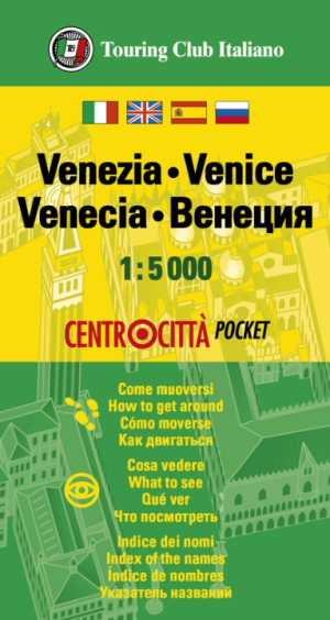
Stadsplattegrond Centrocittà Pocket Venetië - TCI • 9788836576388
Stadsplattegrond Venetië - TCI Productomschrijving: Voor wie Venetië écht wil ontdekken, zijn er deze stadsplattegronden van Touring Club Editore onmisbaar. Ontwikkelt voor de toerist die over één oplossing wil beschikken over een kaart van het centrum, over zijn toeristische informatie en zijn namenindex, en over de belangrijkste informatie van het openbaarvervoernetwerk. - Een sel…

Wandelkaart 51 Brentagruppe - Alpenverein • 9783928777049
Topografische wandelkaart 51 - Brentagruppe Italië Productbeschrijving: De Alpenvereins kaarten zijn de meeste gedetailleerde van Italiaanse Alpen. Onmisbaar voor ervaren wandelaars en klimmers. Goede cartografische optekeningen op basis van een GRID kaartsysteem. Met ingetekende wandelroutes, het niveau van de wandelroute en moeilijkheidsgraden zijn ervan af te lezen. Verder hebben ze gle…

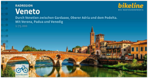
Fietsgids Veneto Radregion - Estenbauer • 9783711100115
Fietsgids Veneto Radregion - Bikeline Productomschrijving: Deze nieuwe fietsgids speelt zich af tussen het Gardameer en de Boven-Adriatische Zee, de Proseccostreek en de Podelta. Met Verona, Padua en Venetië. Venetië - de prachtige, dromerige lagunestad geeft de regio zijn naam. Maar Veneto is veel meer dan alleen Venetië, het achterland van de lagunestad biedt een divers landschap en …

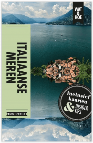
Reisgids Wat & Hoe Italiaanse meren - Kosmos • 9789021568508
Reisgids Wat & Hoe Italiaanse meren - Kosmos Productomschrijving: Wat & Hoe Hoogtepunten Italiaanse Meren bevat insider tips, 'must see' plekken, en uitklapkaarten om het meeste uit je bezoek aan Italiaanse Meren te halen. Met de Top 10-selectie, duidelijke wandelkaarten en een overzicht van de beste hotspots biedt Wat & Hoe Hoogtepunten Italiaanse Meren je alle informatie die je nodig he…

Wandelkaart 3/7 Parco Naturale Puez-Odle - Tabacco • 9788883152016
Wandelkaart Parco Naturale Puez-Odle - Tabacco Casa Editrice Productomschrijving: Hiking map National Park Puez-Geisler 1:25 000 - Topographic map for hikers - Scale 1:25,000 Puez-Geisler Park Naturale territorial map on one side, facts about the territory crossed on other side


