
Wandelgids - GR10 Trail through the French Pyrenees - Cicerone
Le Sentier des Pyrénées- 955km lange tocht door de Pyreneeën

Korte omschrijving
Wandelgidsen Occitanië, Frankrijk van CICERONE Press. Ideaal voor tochten in Frankrijk.
Wandelgids - GR10 Trail through the French Pyrenees - Cicerone Productomschrijving: Wandelgids over de GR10, "Le Sentier des Pyrénées", een 955km lange tocht door de Franse Pyreneeën van He...

Stockactie
Specificaties
- Uitgever: CICERONE Press
- ISBN-13: 9781852847739
- HOOFDCATEGORIEËN: Wandelgids
- Activiteiten: Wandelen, Hiking & Trekking
- Regio: Occitanië, Frankrijk
- Land: Frankrijk
- Departement: Pyrénées-Orientales (66)
- Editie: 1
- Taal: Engels
Volledige omschrijving
Wandelgids - GR10 Trail through the French Pyrenees - Cicerone
Productomschrijving: Wandelgids over de GR10, "Le Sentier des Pyrénées", een 955km lange tocht door de Franse Pyreneeën van Hendaye aan de Atlantische kust tot de Middellandse Zeekust in Banyuls-sur-Mer. Het boek beschrijft 55 etappes, met informatie over planning, vervoer, accommodatie en faciliteiten. U kunt de hele GR10 in ongeveer 45 dagen of in korter afleggen.
Productdescription: Guidebook to walking the GR10, the Sentier des Pyrénées, a 955km trek across the French Pyrenees from Hendaye on the Atlantic Coast to the Mediterranean coast at Banyuls-sur-Mer. The book describes 55 stages, with information on planning, transport, accommodation and facilities. Walk the entire GR10 in around 45 days or in shorter trips.
Product description: Guidebook to walking the GR10, the Sentier des Pyrénées, a 955km trek across the French Pyrenees from Hendaye on the Atlantic Coast to the Mediterranean coast at Banyuls-sur-Mer. The book describes 55 stages, with information on planning, transport, accommodation and facilities. Walk the entire GR10 in around 45 days or in shorter trips.
Seasons:
Best July to October (June in a low snow year).
Centres:
Hendaye-Plage on the Atlantic coast to Banyuls-sur-Mer on the Mediterranean through the French Pyrenees.
Difficulty:
The GR10 is extremely well waymarked following good mountain paths with short sections of boulderfield and occasional very easy scrambling. It is tough because there is more steep climb and descent than on many long-distance paths. Good network of inexpensive accommodation for those who prefer not to camp. Frequent resupply possible. In early season (May/June) ice-axe and crampons may be required.
Must See:
The GR10 starts with the rolling hills of the Basque country leading to the High Pyrenees including Pic du Midi d'Ossau, Vignemale and Gavarnie. The remote Ariège with Mont Vallier follows and Canigou dominates the approach to the Mediterranean. Wildflower meadows are magnificent throughout.

Locatie op kaart
Artikelen uit dezelfde regio

Wandelgids l'Aveyron à pied - FFR • 9782751411366
Wandelgids de l'Aveyron à pied - FFR Productomschrijving: Najac vestingstad, de wijngaarden van Marcillac of Roquefort en zijn beroemde kaas. Aveyron heeft altijd een mozaïek van terroirs gevormd, van koeienweiden tot wijngaardhellingen, schapenpaden in de groene ruimten van Lévézou en Ségala. In het noorden staat Aubrac in bloei met krokussen en wilde tulpen. In de kloven van de Avey…
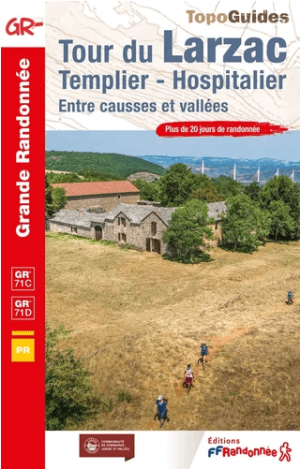
Wandelgids 0701 Tour du Larzac, Templier & Hospitalier GR71C & D - FFR • 9782751413292
Tour du Larzac, Templier & Hospitalier GR71C & D Productomschrijving: Een land van uitgestrektheid en licht tussen Millau en La Couvertoirade. Meer dan 20 dagen wandelen. Ontdek te voet de uitgestrekte hoogvlaktes van de Larzac en de veelzijdige valleien van de Dourbie, Cernon en Sorgues. In het hart van het Parc Naturel Régional des Grands Causses kun je dit ongerepte gebied verkenne…
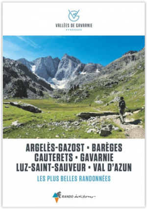
Wandelgids Vallees de Gavernies - Rando Ed. • 9782344057803
Vallees de Gavernies, Les plus belles randonnees - Rando Productomschrijving: In het hart van de Hautes-Pyrénées, de TOP 15 van de mooiste dagwandelingen om de hoogtepunten van de Gavarnie valleien te ontdekken. In het hart van het Nationaal Park van de Pyreneeën, in een omgeving die 100% groen, milieuvriendelijk, verantwoord en vooral duurzaam is, waar de toppen de hemel raken op een hoog…
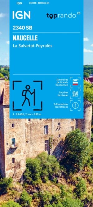
Wandelkaart 2340 SB Naucelle la Salvetat & Peyrales - IGN • 9782758554325
Wandelkaart Naucelle la Salvetat & Peyrales - IGN Productomschrijving: De IGN Série Bleue 2340SB Naucelle – La Salvetat-Peyralès bestrijkt een groen en heuvelachtig deel van de Ségala, op de grens van de departementen Aveyron en Tarn. De wandelkaart omvat Naucelle, La Salvetat-Peyralès, Tanus, Tauriac-de-Naucelle, Cassagnes-Bégonhès, Saint-Just-sur-Viaur en talrijke kleinere dorpen en gehu…

Wandelgids Bagnères-de-Luchon - Ed. Rando • 9782344054888
Bagnères-de-Luchon - Ed. Rando Productomschrijving: Van rustige alpenweiden tot toppen boven de 3000 meter, een vijftigtal wandelingen voor alle niveaus, van de Luchonnais tot de Val d'Aran, in het hart van de centrale Pyreneeën waar de Aneto en de Posets majestueus liggen. Van de elegantie van de Cagire tot de keizerlijke hoogte van de Aneto, van de perfecte pyramide van de Quayrat to…