

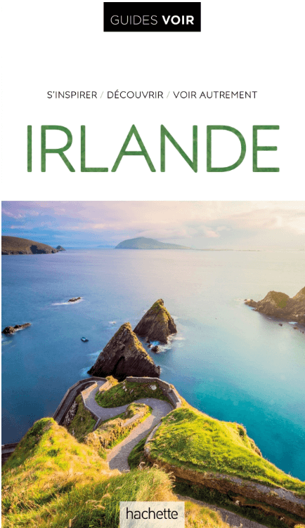
Reisgids Guides VOIR Irlande - Hachette
Dublin - Kilkenny - les lacs du Connemara - Killarney - Cork
Korte omschrijving
Reisgidsen Ierland van Hachette Tourisme. Ideaal voor tochten in Ierland.
Reisgids Irlande - Hachette Productomschrijving: Découvrez Dublin, Kilkenny, les lacs du Connemara et de Killarney, Cork, Rock of Cashel, Galway, Belfast, la chaussée des Géants... - Une...

Specificaties
- Uitgever: Hachette Tourisme
- ISBN-13: 9782017197546
- HOOFDCATEGORIEËN: Reisgids
- Activiteiten: Toerisme
- Auteur: Philippe Gloaguen
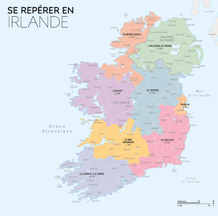
- Regio: Ierland
- Land: Ierland
- Taal: Frans
- Reeks/Serie: Guide Voir, Hachette
Volledige omschrijving
Reisgids Irlande - Hachette
Productomschrijving: Découvrez Dublin, Kilkenny, les lacs du Connemara et de Killarney, Cork, Rock of Cashel, Galway, Belfast, la chaussée des Géants...
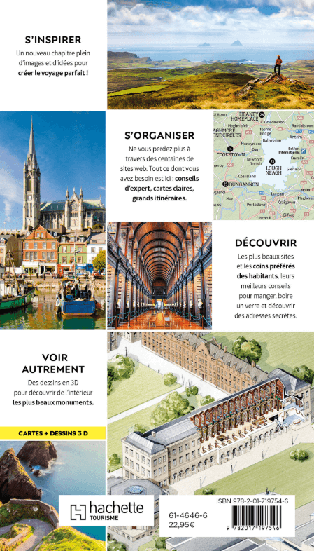
- Une présentation complète de l'histoire et des sites de l'Irlande avec plus de 900 photos !
- Des dessins en 3D des plus célèbres monuments et une vue aérienne des plus belles villes.
- Des balades à pied et des excursions illustrées de cartes précises.
- Un carnet d'adresses des meilleurs hôtels, restaurants et boutiques.
- Des plans des principales villes du pays.
Artikelen uit dezelfde regio
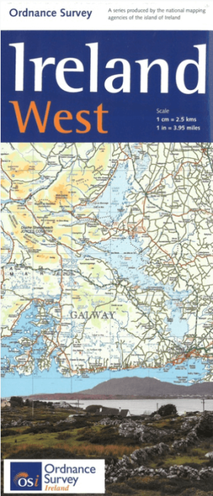
Landkaart Wegenkaart H2 Ierland West - OSI • 9781908852878
Wegenkaart West Ierland - OSI Productomschrijving: Wegenkaart West Ierland - OSI - Ordnance Survey Ireland West Road map at 1:250,000 approx 4 miles to the Inch. This map shows detailed road classification, altitude colouring and tourist information, published by OSI, the Ordnance Survey of Ireland. Topography of the island is shown by altitude colouring, with additional spot …
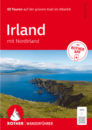
Wandelgids Irland mit Nordirland - Rother Bergverlag • 9783763314904
Wandelgids Irland mit Nordirland - Rother Productomschrijving: 65 Touren auf der grünen Insel im Atlantik. Irland – die perfekte Insel zum Wandern. - 65 sorgfältig ausgewählte Wanderungen in Irland und Nordirland – von Küstenpfaden bis zu Bergtouren - Detaillierte Wegbeschreibungen, Wanderkärtchen und Höhenprofile für jede Tour - Inklusive GPS-Tracks und Rother App für komfortable …
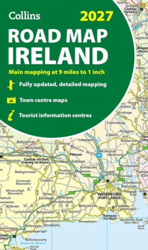
Landkaart Wegenkaart Ireland Road Map 2027 - Harper Collins • 9780008779061
Wegenkaart Ireland Road Map 2027 - Harper Collins Productomschrijving: Full-colour map of Ireland at 9 miles to 1 inch (1:570,240), with clear, detailed road network and counties and new administrative areas shown in colour. This double-sided map covers the whole of Ireland, and is ideal for reference or route planning. This map of Ireland shows the road network in detail. It is ideal for …
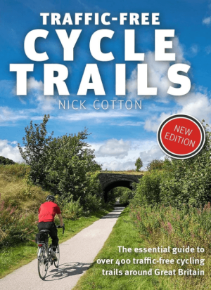
Traffic-Free Cycle Trails around Great Britain - Vertebrate Publ. • 9781912560769
Traffic-Free Cycle Trails around Great Britain - Vertebrate Productomschrijving: The essential guide to over 400 traffic-free cycling trails around Great Britain Traffic-Free Cycle Trails by Nick Cotton contains over 400 cycle routes in Great Britain. This book includes a great variety of routes on former railway paths, canal towpaths and forest trails in England, Scotland and Wales, w…
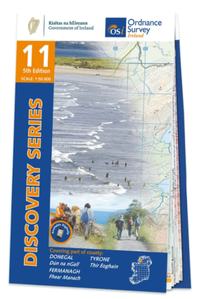
Wandelkaart 11 County Donegal South - OSI Ireland • 9781912140497
Wandelkaart Donegal South - OSI Productomschrijving: Ontdek Ierland met de Discovery Series Wandelkaarten van Ordnance Survey Ireland. De Discovery Series wandelkaarten van Ordnance Survey Ireland (OSi) zijn dé keuze voor wandelaars, fietsers en avonturiers die Ierland echt willen verkennen. Deze hoogwaardige topografische kaarten bieden een gedetailleerd en nauwkeurig overzicht van he…