

Landkaart Wegenkaart 383 Bendigo & Shepparton Victoria- Gregory's
Leitchville- Strathmerton- Creswick- Wallan- Euroa- Emu

Korte omschrijving
Wegenkaart Bendigo & Shepparton Victoria - Gregory's Productomschrijving: The latest edition of the Bendigo Shepparton regional touring map features a regional map with coverage from Leitch...

Specificaties
- Uitgever: UBD Gregory's Universal Publishers
- ISBN-13: 9780731932474
- HOOFDCATEGORIEËN: Wegenkaart - Landkaart
- Activiteiten: Street/Road maps & city plans
- Regio: Victoria
- Land: Australië
- Schaal: 1:25000
- Editie: 17
- Taal: Engels
- De Australische Regio's: Victoria
Volledige omschrijving
Wegenkaart Bendigo & Shepparton Victoria - Gregory's
Productomschrijving: The latest edition of the Bendigo Shepparton regional touring map features a regional map with coverage from Leitchville and Strathmerton in the north, Creswick and Wallan in the south, Euroa in the east and Emu in the west.
Also included is street level mapping and street indexes for Bendigo, Castlemaine, Maryborough, Shepparton Mooroopna and Seymour.
Street level mapping for Echuca Moama, Heathcote, Kyabram, Nagambie, Rochester and Tatura.
There is also a list of touring attractions and advertisers.
This conveniently sized fold out map is a handy tool for both tourists and locals wanting to find their way around the region.
Artikelen uit dezelfde regio

Landkaart Wegenkaart Australië Indigenous Journeys Map - Hema Map • 9781922668936
Wegenkaart Australië Indigenous Journeys Map - Hema Maps Productomschrijving: Australië Indigenous Journeys Map hema 1:5.5M Ontdek de zanglijnen van de oudste levende cultuur ter wereld Al meer dan 65.000 jaar bewandelen Aboriginals en Torres Strait Islanders - de traditionele eigenaars van Australië - het land, smeden handelsroutes, delen kennis en zorgen voor het land. De Indigenou…
Landkaart Wegenkaart Australië Oost - Reise Know How • 9783831774517
Wegenkaart Oost Australië - Reise Know How Productomschrijving: Reis Know-How-kaarten (wereldkaart-projectreeks) zijn gemakkelijk te lezen, waterdichte en zeer duurzame reiskaarten die speciaal zijn ontworpen voor dagelijks gebruik op de weg. Omvat: Queensland, Victoria, New South Wales, Tasmania. Onze kaarten combineren state-of-the-art, GPS-compatibele cartografie (inclusief hyps…

Landkaart Victoria state NSW - Hema Maps • 9781865009773
Wegenkaart Landkaart Victoria state - Hema Productomschrijving: A compact map of Victoria for touring throughout the state with a distance grid and index for planning and reference. Marked on the mapping are highways, major and minor roads, points of interest, information centres, picnic areas, caravan parks and lookouts. Great for using in the car, Hema's Victoria Handy Map clearly shows …
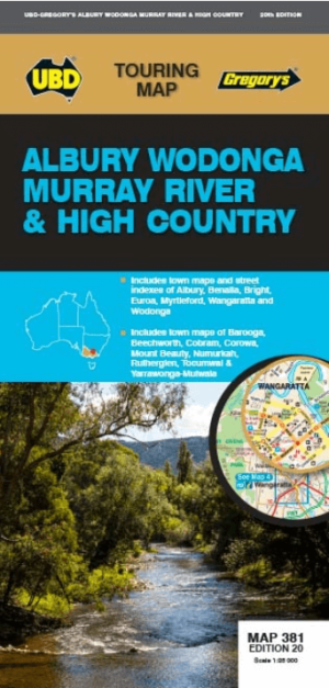
Landkaart Wegenkaart 381 Albury- Wodonga- Murray River- Gregory's • 9780731932481
Wegenkaart Albury- Wodonga- Murray River & High country Productomschrijving: The latest edition of the Albury Wodonga Murray River and High Country touring map has been fully revised and updated and includes regional touring coverage from Finley and Henty in the north, Euroa and Mount Beauty in the south, Darbyshire in the east and Numurkah in the west. There is also street level mapp…

Landkaart Wegenkaart 386 Gippsland Discovery - UBD GRegory's • 9780731932337
Wegenkaart Gippsland Discovery - UBD GRegory's Productomschrijving: This newest edition of the Gippsland Discovery and Wilsons Promontory touring map is an essential tool to use when travelling in the area. With a regional map and towns index covering Buxton in the north, Wilsons Promontory in the south, Heyfield in the east and Craigieburn in the south. There is also street level map…