

Landkaart Wegenkaart 3202 Egypte Noord Afrika - Nat Geo
Nag Hammadi- Luxor- Aswan- Qena- Oases of Kharga and dakhla

Korte omschrijving
Wegenkaart Egypte Noord Afrika - Nat Geo Productomschrijving: Explore the extraordinary history and great mysteries of the cradle of civilization with National Geographic's Egypt Adventure ...

Specificaties
- Uitgever: National Geographic
- ISBN-13: 9781566955294
- HOOFDCATEGORIEËN: Wegenkaart - Landkaart
- Activiteiten: Street/Road maps & city plans
- Auteur: National Geographic
- Regio: Noord Africa
- Land: Egypte
- Waterafstotende kaart: Nat Geo waterproof series
- TOPO's & Stafkaarten: Topografisch wandelen
- Schaal: 1:1250000
- Editie: 1
- Taal: Engels
- Reeks/Serie: NAT GEO Adventure travel maps
Volledige omschrijving
Wegenkaart Egypte Noord Afrika - Nat Geo
Productomschrijving: Explore the extraordinary history and great mysteries of the cradle of civilization with National Geographic's Egypt Adventure Map. This expertly crafted map provides global travelers with the perfect combination of detail and perspective, highlighting hundreds of points of interest and the diverse and unique destinations within the country.
Cities and towns are clearly indicated and easy to find in the user-friendly index. A road network complete with distances and designations for roads, expressways, major routes, and secondary routes will help you find the route that's right for you. Transportation within and beyond the country is made easier with the location of airports, airfields, railroads, ferry routes, harbors, border crossings, and police control points. In addition to typical sites of interest such as UNESCO sites, national parks, mosques, churches, and monuments, this map includes Egypt's many archeological sites, pyramids, oases, caves, and hot springs. Travelers wishing to recreate along the Mediterranean or Red Sea Riviera will find dozens of beaches, coral reefs, scenic viewpoints, and ship wrecks to explore.
Egypt's northern half is shown on the front side of the print map from its Mediterranean coast, Alexandria, and the great city of Cairo south to include the cities of Faiyum, Beni Suef, Minya, Asyut, and Sohag. The reverse side of the map covers the southern portion of the country, and shows the cities of Nag Hammadi, Luxor, Aswan, and Qena, and the oases of Kharga and Dakhla.
From the Nile River's fertile valley, the world's first great civilization arose in Egypt over 4,000 years ago. Today, Egypt is Africa's second most populous country and its capital Cairo is the largest city in the Middle East and Africa with over 11 million inhabitants. The country is defined by the Nile - the longest river on Earth - and the vast, surrounding deserts that are home to the nomadic Bedouins. Travelers from around the world are drawn to the awe-inspiring Pyramids and Great Sphinx at Giza and relaxing along the beaches of the Sinai Peninsula and Gulf of Aqaba.
Every Adventure Map is printed on durable synthetic paper, making them waterproof, tear-resistant and tough — capable of withstanding the rigors of international travel.
Key Features:
- Waterproof and tear-resistant
- Detailed interpretive information and local travel tips
- Detailed topography complete with activity symbols, ideal for exploring the country
- City overview maps
- Hundreds of points of interest, including the location of World Heritage sites, national parks and nature reserves, aboriginal settlements.
- Thousands of place names
- Important travel aids including airports, lighthouses, ferry routes and rail lines
- Developed in cooperation with local agencies
- Updated regularly to ensure accuracy
Artikelen uit dezelfde regio
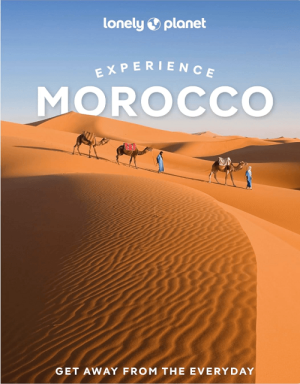
Reisgids Morocco Experience Guide - Lonely Planet • 9781837586714
Lonely Planet Morocco Experience Guide Productomschrijving: This first edition of Lonely Planet's Experience Morocco travel guide reveals exciting new ways to explore this iconic country with all the tools you need to create your own unique trip. Discover amazing local experiences from wandering the Sultan's garden in Tangier's Kasbah; to climbing Jebel Toubkal on a two-day summit hike; an…

Landkaart Wegenkaart 742 Marokko - Michelin • 9782067202849
Wegenkaart Marokko - Michelin Productomschrijving: Deze Nationale kaart van Marokko, werd ontwikkeld, om zich snel uit de voeten wil maken, met plaatsnamenindex, en toeristische informatie, geven u alle elementen om dat werkelijkheid te maken. De kaarten zijn gemakkelijk leesbaar en gedrukt op sterk papier. De rode Michelin wegenkaarten met schaal 1:300.000 zijn dé betrouwbare partner …

Pistes du Maroc Tome 3 de l'oued Draa à la Seguiet el Hamra • 9782864105978
Pistes du Maroc, de l'oued Draa à la Seguiet el Hamra Productomschrijving: La nouvelle édition revue et augmentée du tome 3 des guides 4x4 J. Gandini est désormais fortement illustrée et entièrement en couleurs (230 photos). Elle propose 61 itinéraires, avec le relevé de 1670 points GPS, totalisant 6500 kilomètres de pistes de l’Oued Draa à la Seguiet el Hamra avec, entre autres, de nouve…
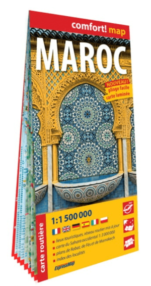
Landkaart Wegenkaart Marokko (Franstalig) - ExpressMap • 9788383550091
Wegenkaart Marokko (Franstalig) - ExpressMap Productomschrijving: ExpressMap is de uitgever van comfort! maps, geplastificeerde kaarten die eenvoudig te vouwen zijn, zelfs met één hand. Een uniek en innovatief product. Comfortabel, waterbestand, onverscheurbaar, comfort! maps blijven hun kwaliteit lang behouden. Duurzame kaarten, nuttig om een uitstap te plannen en handig voor onderweg. …
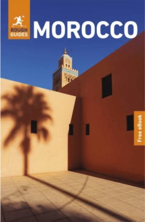
Travelguide Morocco North Africa - Rough Guides • 9781835292556
Morocco North Africa - Rough Guides Productomschrijving: The Rough Guide to Morocco is the indispensable travel guide to this intoxicating country, with comprehensive coverage, clear full-colour maps and up-to-date practical information to help you discover the best Morocco has to offer. Whether hiking through the Atlas Mountains, camel riding over the dunes of the Sahara or bartering in t…