
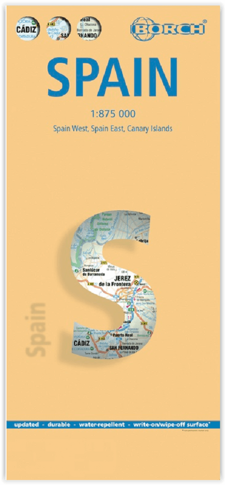
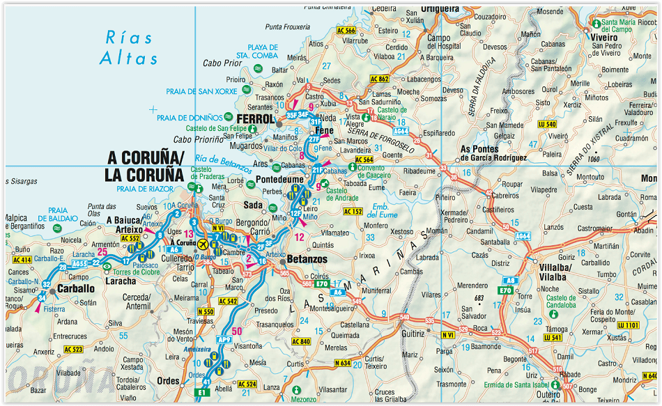
Landkaart Spanje - Borch
The Balearic & Canary Islands- Castile- Andalusia
Korte omschrijving
Wandelkaarten Spanje van Borch GmbH. Ideaal voor tochten in Spanje.
Landkaart Spanje - Borch Productomschrijving: Our soft-laminated folded map of Spain in the 9th edition shows: Spain East 1:875 000, Spain West 1: 875 000, Canary Islands 1:1 875 000, Spain ...
Specificaties
- Uitgever: Borch GmbH
- ISBN-13: 9783866093362
- HOOFDCATEGORIEËN: Wandelkaart, Wegenkaart - Landkaart
- Activiteiten: Wandelen, Hiking & Trekking
- Regio: Spanje
- Land: Spanje
- Schaal: 1:875000
- Editie: 9
- Taal: Duits, Engels, Frans, Itailaans, Spaans
- De Canarische eilanden: El Hierro, Fuerteventura, Gran Canaria, La Gomera, La Palma, Lanzarote, Tenerife
Volledige omschrijving
Landkaart Spanje - Borch
Productomschrijving: Our soft-laminated folded map of Spain in the 9th edition shows: Spain East 1:875 000, Spain West 1: 875 000, Canary Islands 1:1 875 000, Spain administrative and Europe time zones. Borch Maps are easy to fold, durable and water-repellent with a wipeable surface. Borch Maps show hotels, museums, monuments, markets, public transport, top sights and points of interest, useful statistics, conversion charts for temperatures, weights and measurements, climate charts showing temperatures, sunshine hours, precipitation and humidity, overview maps, time zones, and much more.
The Kingdom of Spain is the fourteenth largest economy in the world and was once the leading power and colonial empire in Europe. Spain has suffered its share of wars, invasions, inquisitions, and isolation, contributing to the rich and diverse culture that democratic Spain today represents.
Its territory covers the central and eastern Iberian peninsula, which it shares with Portugal. Its territory includes the Balearic and Canary Islands, as well as several other islands and autonomous communities. Its climate is as diverse as its languages, with Spanish classified as the main language and Catalan, Basque and Galician recognized as co-official languages. But Spain's regions also differ in landscape, customs and cuisine; from the Basques who live in the forested, mountainous region on the northern coast, through Castile in central Spain: a land of plains separated by barren ravines, to Andalusia in the south: famous for its bullfights, dances and castagnets
Artikelen uit dezelfde regio
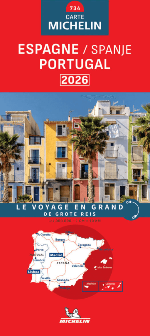
Landkaart Wegenkaart 734 Spanje & Portugal 2026 - Michelin • 9782067270336
Wegenkaart Spanje & Portugal 2026 - Michelin Productomschrijving: Deze gloednieuwe wegenkaart voor Spanje & Portugal voor 2026 omvat alle straten, Hoofdwegen, Toeristische informatie en locatie namen in meerder talen. - Nationale kaarten - Wegenkaarten national: een overzicht van het land voor lange trajecten - Schaal aangepast aant het land - Kaarten met jaartal voor de belangri…

Camperkaart 680 Spanje & Portugal roadtrips - Michelin • 9782067264359
Camper kaart Spanje & Portugal roadtrips - Michelin Productomschrijving: De nieuwe kaart voor wie op roadtrip gaat met de Camper, richting Spanje en Portugal. De schaal is 1:1.000.000 met een groot over zicht dus, het Formaat= 11.2 x 3.1 x 25 cm. Met 52 routevoorbeelden van 164 tot 677 km, met de meest bezocht of mooiste dorpen van beide landen. - Spanje & Portugal roadtrips - Kaart…
Fietsgids Eurovelo 1 Atlantic Coast Route - Bikeline Estenbauer • 9783711102782
Fietsgids Eurovelo 1 Atlantic Coast Route - Bikeline Productomschrijving: For decades, thousands of vacationers have enjoyed cycling tours as the optimal travel method, and their numbers are growing daily. There are countless long-distance routes and regions that inspire carefree cycling. The diversity is incredible! In a great many European countries, you can find bike paths running alon…
Reisgids Insight guides Spain ENG - APA Publ. • 9781839054327
Reisgids Insight guides Spain ENG - APA Publ. Productomschrijving: With its mix of bustling cities like Barcelona, inviting beaches and Moorish architecture, Spain enchants at every corner. Be inspired to visit by this concise, full-colour guide that combines lively text with vivid photography to highlight the best that the country has to offer.

Wandelkaart 40 Lluçanès - Llucanes - Editorial Alpina • 9788480909907
Llucanes Voltreganes- Parc Fluvial Llobregat - Ed. Alpina Productomschrijving: Omvat de perfecte uitvalsbasis voor meerder parken, niet enkel de het Parc Fluvial del Llobrega. Omvat het gebied: Sant Boi de Lluçanès, Sant Augusti de Lluçanès, Montesquiu, Sant Hipòlit de Voltrega, Santa Cecília de Voltregà, Orís, Sant Marti d'Albars, Alpens, Lluça, Sagàs, Olvan, Puig-reig, Gironella, So…