

Klimgids Mountaineering in the Mont Blanc Range - Vertebrate Pub.
36 climbs on ice and mixed climbs (F to AD+)


Korte omschrijving
Mountaineering in the Mont Blanc Range - Vertebrate Productomschrijving: Classic snow, ice & mixed climbs Mountaineering in the Mont Blanc Range showcases the most beautiful lower grade ...

Specificaties
- Uitgever: Vertebrate Publishing
- ISBN-13: 9781906148812
- Activiteiten: Ijsklimmen, Klimmen & Alpinisme, Rotsklimmen
- Auteur: Florence Lelong, Jean-Louis Laroche
- Regio: Auvergne-Rhône-Alpes, Frankrijk
- Land: Frankrijk
- Departement: Haute-Savoie (74)
- Taal: Engels
- Klimmen: Alpinisme, Rotsklimmen, ijsklimmen
- De Franse Regio's: Auvergne-Rhône-Alpes
- Iconische Bergketens van Europa: De Mont Blanc
Volledige omschrijving
Mountaineering in the Mont Blanc Range - Vertebrate
Productomschrijving: Classic snow, ice & mixed climbs
Mountaineering in the Mont Blanc Range showcases the most beautiful lower grade snow, ice and mixed climbs (F to AD+) in the area. Jean-Louis Laroche and Florence Lelong have selected 36 climbs which are easily accessible from mountain huts, telepheriques and mountain railways. Each route features a description, summary and a sketch map.
The routes described in this book should be within the capabilities of almost all mountaineers. Reflecting all recent changed topographical conditions due to the steady glacial retreat created by climate change, authors Jean-Louis Laroche and Florence Lelong have selected 36 climbs from across the range, which are easily accessible from well appointed mountain huts, useful telepheriques and mountain railways.
The routes described are an ideal introduction to the climbing in this magnificent area. They are on snow or mixed ground and, distributed among the main glacier basins, they will enable you to visit a representative selection of summits along the full length of the range. Among them are some of the finest classics, including: the North Face of the Tete Blanche, the Whymper Route on the Aiguille d'Argentiere, the Cosmiques Ridge of the Aiguille du Midi, the Normal Route, Contamine-Grisolle, and Chere Couloir on the Mont Blanc du Tacul, and of course a choice of routes on Mont Blanc itself.
Each route features a detailed and comprehensive route description, a sketch map and a route summary detailing the start point, difficulty, timings, height gain, best time of year and the gear required. Beautifully illustrated with photos that show both the lie of the land and also the haunting beauty of the fabulous peaks of the Mont Blanc Range, this guide clearly indicates alpinism's continued popularity to climbers of all ages.

Artikelen uit dezelfde regio

Wandelkaart 2627 SB Moulins & Neuilly-le-Réal - IGN • 9782758539087
Wandelkaart - Moulins & Neuilly-le-Réal Productomschrijving: Moulins is een stad en gemeente in Frankrijk, en is de hoofdstad van het departement Allier. Gelegen in de regio Auvergne-Rhône-Alpes. Desciptive produits: Une nouvelle cartographie pour une lisibilité optimale, avec une meilleure précision géométrique et des informations touristiques enrichies. Un nouveau format deux fois p…
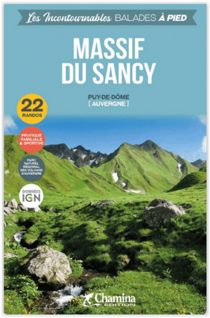
Wandelgids Massif de Sancy- balades à pied - Chamina • 9782844665867
Wandelgids Massif de Sancy- balades à pied - Chamina Productomschrijving: 22 wandelingen en trektochten die u niet mag missen in- en door het massief van de Sancy, in het departement Puy-de-Dôme, in het hart van het Regionale Natuurpark van de Vulkanen van de Auvergne (Parc naturel régional des Volcans d’Auvergne). Dit vulkaanmassief, gelegen ten zuidwesten van Clermont-Ferrand, op minder…

Wandelkaart 3432 OT(R) Massif des Bauges - IGN • 9782758552345
Wandelkaart Massif des Bauges - IGN Productomschrijving: Het Massif des Bauges is gelegen in de departementen Savoie en Haute-Savoie, en wordt begrensd door Annecy, Aix-les-Bains, Chambéry, Momélian en Albertville. Te ontdekken: Massif de la Chartreuse, Massif des Bauges, Vallon de Bellevaux, Mont Trelod, Combe l'Ire, Col du Frêne, Mont Margériaz, Mont de la Buffaz, Dent d'Arclusaz, Po…
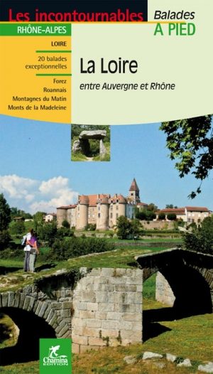
Wandelgids Loire l'Auvergne & Rhône-Alpes à pied - Ed. Chamina • 9782844662149
Wandelgids Loire- l'Auvergne & Rhône-Alpes à pied - Ed. Chamina Productomschrijving: Vier gebieden van gewone en middelgrote bergomvang, geheim en soms onbegrepen plaatsen, om te voet te ontdekken: • De vlakte en de bergen van Forez (Markeer 1634 m) • Roanne • De bergen in de ochtend (westelijke flanken van de bergen van Lyonnais, highlight 1004 m) • Koppelingen van de Madeleine …
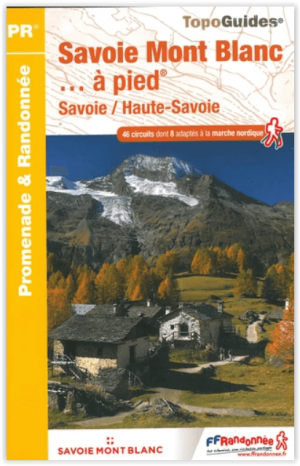
Wandelgids D743 - Savoie Mont-Blanc à pied - FFR • 9782751409967
Wandelgids D743 - Le departement du Savoie Mont-Blanc à pied Productomschrijving: Van de oevers van de vier grote meren tot de hoogste toppen, het grondgebied van de Savoie Mont Blanc brengt meer dan 4.000 km2 beschermde natuurgebieden samen, met een nationaal park, twee regionale natuurparken, 18 natuurreservaten en 42 Natura 2000-zones. Omgevingen die een kwaliteitswandeling garanderen m…