Wegenatlas compact Litouwen - Jana Seta Publ.
Vilnius - Riga - tourist accommodations - campsites
Korte omschrijving
Wegenatlas Litouwen - Jana Seta Publ. Productomschrijving: Lithuania Road Atlas from the Riga based Jana Seta, in handy glovebox paperback format with street plans of 19 towns, including an...

Specificaties
- Uitgever: Jana Seta Map Publishers
- ISBN-13: 9789984075556
- HOOFDCATEGORIEËN: Wegenatlas
- Activiteiten: Street/Road maps & city plans
- Auteur: Karou izdevnieciba
- Regio: Litouwen, Baltische staten
- Land: Litouwen, Baltische staten
- Schaal: 1:200000
- Taal: Engels
Volledige omschrijving
Wegenatlas Litouwen - Jana Seta Publ.
Productomschrijving: Lithuania Road Atlas from the Riga based Jana Seta, in handy glovebox paperback format with street plans of 19 towns, including an enlargement for city centre of Vilnius, The whole country is covered at 1:200,000, showing detailed classification of road network with petrol stations, and railway lines with stops. Boundaries of national parks and other protected areas are marked and a range of symbols indicate tourist accommodations, campsites, various places of interest, etc. Picturesque towns and villages are highlighted. Colouring and graphics show forested areas and swamps and the atlas also shows the country’s administrative divisions. Latitude lines are at intervals of 5’ intervals and longitude at 10’. The atlas has an extensive index of localities.
The atlas also includes street plans of 19 towns at 1:20,000 or 1:25,000, annotated with places of interest and various facilities. For Vilnius the atlas has a plan of its central districts, plus a road map of the surrounding area highlighting main traffic routes to the centre. Also included is road a map of the eastern Baltic Sea region, physical, administrative and route planning maps of Lithuania, general information for drivers and a distance table.
*Map legend, conveniently placed on a flap of the cover, includes English.*
* The same atlas is also available in a larger, A4 format with street plans of 57 towns.
- Wegenkaart van Litouwen op schaal 1:200'000
- Algemene kaarten van 20 grote steden op schaal 1:20'000 - 1:85'000
- Thematische kaarten
- Index van plaatsnamen
- Tabel van afstanden
Locatie op kaart
Artikelen uit dezelfde regio

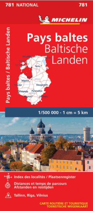
Landkaart Wegenkaart 781 Baltische Staten - Michelin • 9782067173774
Wegenkaart Baltische Staten - Michelin Productomschrijving: Deze Nationale kaart van de Baltische Staten, biedt een gedetailleerd overzicht van alle plaatsen. het wegennet wordt verfijnd aangeduid met allerhande symbolen, en voorziet in alle behoeftes, of u op zoek bent naar specifieke wegen, of zich snel uit de voeten wil maken, de plaatsnamenindex, en toeristische informatie, geven u all…

Wegenatlas Baltische Staten atlas - Jana Seta Publ. • 9789984077413
Baltische Staten wegenatlas - Jana Seta Publ. Productomschrijving: For the first time the road atlas of the Baltic countries is published at scale 1: 200 000. It is the most detailed map atlas covering the entire territory of the Baltic States. Atlas has a new, larger format and a hardback cover. Atlas basemap is supplemented with plans of the 48 largest cities at scale 1: 20 000 as w…

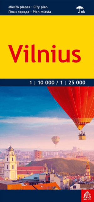
Stadskaart Plattegrond Vilnius Litouwen - Jana Seta Publ. • 9789984075983
Stadskaart Plattegrond Vilnius Litouwen - Jana Seta Productomschrijving: De nieuwe Gelamineerd toeristische stadskaart van de Litouwse stad Vilnius. - Formaat 66 x 48 cm / 11 x 23,7 cm gevouwen - Schaal 1:25'000 / midden in schaal 1:10'000 - Informatie in het Litouws, Engels, Russisch en Pools - Lay-out voor openbaar vervoer - Stratenindex

Landkaart en Wegenkaart Litouwen en Kaliningrad - Jana Seta Publ. • 9789984074726
Wegenkaart Litouwen en Kaliningrad - Jana Seta Productomschrijving: Wegenkaart Litouwen & Kaliningrad Met inzet van een afstandstabel. Inzet van stedenplannen Vilnius, Kaunas, Klaipeda, Siauliai, Panevezys en Kaliningrad.

Stadskaart Plattegrond Kaunas Litouwen - Jana Seta Publ. • 9789984075976
Stadskaart Plattegrond Kaunas Litouwen - Jana Seta Productomschrijving: Geplastificeerde stadsplattegrond met toeristische informatie. Een bijgewerkte versie van de stadsplattegrond. Ongeveer 600 nieuwe straten (van de stad en zijn directe omgeving) en straatindex evenals een volledig opnieuw ontworpen afbeelding van openbaar vervoerroutes zijn ingevoerd op de kaart.


