

Wandelkaart Fietskaart D50 Manche Normandië - FFR
Saint-Lô - Avranches - Cherbourg-en-Cotentin


Korte omschrijving
Wandelkaart Landkaart Fietskaart Manche Normandië - FFR Productomschrijving: Cette nouvelle édition possède un nouveau découpage départemental. Elle intègre les parcours vélo en partenariat ...

Specificaties
- Uitgever: Institut Géographique National
- ISBN-13: 9782758556459
- HOOFDCATEGORIEËN: Fietskaart, Wandelkaart
- Activiteiten: Fietsen / VTT / MTB, Wandelen, Hiking & Trekking
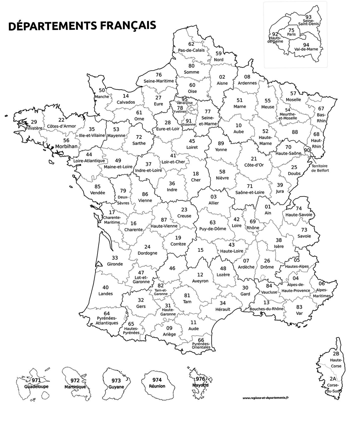
- Regio: Normandië, Frankrijk
- Land: Frankrijk
- Departement: Manche (50)
- TOPO's & Stafkaarten: Topografisch - fietsen, Topografisch wandelen
- Schaal: 1:100000
- Editie: 1
- Taal: Frans
- Reeks/Serie:: IGN Cartes TOP D100
- De Franse Regio's: Normandië
Volledige omschrijving
Wandelkaart Landkaart Fietskaart Manche Normandië - FFR
Productomschrijving: Cette nouvelle édition possède un nouveau découpage départemental. Elle intègre les parcours vélo en partenariat avec l'association AF3V – VéloRoutes et Voies Vertes. La nouvelle TOP 100 grâce à son échelle au 1:100 000ème (1 cm = 1 km) est la carte idéale pour découvrir une région et faire du tourisme à pied, à vélo ou en voiture.
Un grand nombre d’informations touristiques sont représentées de façon très précises dans la cartographie : parcs et réserves naturelles, monuments, châteaux, musées, grottes, point de vues, refuges, site d’escalade et de sport en eau vive, plages surveillées…
Un re´seau de routes secondaires enrichi, pour permettre des balades a` ve´lo en toute se´curite´ :
• Pour la découverte à pied, l’intégralité des GR® et GR de Pays®
• Pour la découverte à vélo, l’ensemble du réseau routier local et l’intégralités des Vélo-routes et Voies Vertes avec la classification AF3V
• Pour la découverte en voiture, l’intégralité du réseau routier : national, régional, départemental et secondaire.
Pour compléter la cartographie :
• le relief est représenté par les courbes de niveau et les points cotés
• un index des communes permet de se repérer facilement
Des codes produits adaptés: D + N° du département.

Locatie op kaart
Overzichtskaarten

IGN France > TOP100 D-reeks - Departementale 1:100.000
IGN France > TOP100 D-reeks - Departementale 1:100.000
Producten op de overzichtskaart
Klik op een product om naar de detailpagina te gaan.
- Wandelkaart Fietskaart D01 Ain - IGN
- Wandelkaart Fietskaart D04 Alpes-de-Haute-Provence- IGN
- Wandelkaart Fietskaart D05 Hautes-Alpes - IGN
- Wandelkaart Fietskaart D06 Alpes-Maritimes - IGN
- Wandelkaart Fietskaart D07 Ardèche - IGN
- Wandelkaart Fietskaart D09 Ariège - IGN
- Wandelkaart Fietskaart D10 Aube & PNR de la Forêt d'Orient - IGN
- Wandelkaart Fietskaart D11 Aude - IGN
- Wandelkaart Fietskaart D12 Aveyron Occitanië - IGN
- Wandelkaart Fietskaart D13 Bouches-du-Rhône - IGN
- Wandelkaart Fietskaart D14 Calvados, Caen, Honfleur - IGN
- Wandelkaart Fietskaart D15 Cantal, Aurillac, St Flour - IGN
- Wandelkaart Fietskaart D16 Charente, Angoulême, Cognac - IGN
- Wandelkaart Fietskaart D17 Charente-Maritime - IGN
- Wandelkaart Fietskaart D19 Corrèze - IGN
- Wandelkaart Fietskaart D21 Côte d'Or - IGN
- Wandelkaart Fietskaart D22 Côtes-d'Armor Bretagne - IGN
- Wandelkaart Fietskaart D23 Creuse Nouvelle-Aquitaine - IGN
- Wandelkaart Fietskaart D24 Dordogne - IGN
- Wandelkaart Fietskaart D25 Doubs - IGN
- Wandelkaart Fietskaart D26 Drôme Auvergne-Rhône-Alpes - IGN
- Wandelkaart Fietskaart D2A Corse-du-Sud - IGN
- Wandelkaart Fietskaart D2B Haute-Corse - IGN
- Wandelkaart Fietskaart D29 Finistère Bretagne - IGN
- Wandelkaart Fietskaart D30 Gard - IGN
- Wandelkaart Fietskaart D31 Haute-Garonne - IGN
- Wandelkaart Fietskaart D32 Gers - IGN
- Wandelkaart Fietskaart D33 Gironde Nouvelle-Aquitaine - FFR
- Wandelkaart Fietskaart D34 Hérault - IGN
- Wandelkaart Fietskaart D35 Ille-et-Vilaine Bretgane - IGN
- Wandelkaart Fietskaart D38 Isère Auvergne-Rhône-Alpes - IGN
- Wandelkaart Fietskaart D39 Jura - IGN
- Wandelkaart Fietskaart D40 Landes Nouvelle-Aquitaine - FFR
- Wandelkaart Fietskaart D42 Loire - IGN
- Wandelkaart Fietskaart D43 Haute-Loire - IGN
- Wandelkaart Fietskaart D44 Loire-Atlantique Pays-de-Loire - IGN
- Wandelkaart Fietskaart D46 Lot Occitanië - FFR
- Wandelkaart Fietskaart D47 Lot-et-Garonne - FFR
- Wandelkaart Fietskaart D48 Lozère - IGN
- Wandelkaart Fietskaart D49 Maine-et-Loire Pays-de-la-Loire - IGN
- Wandelkaart Fietskaart D50 Manche Normandië - FFR
- Wandelkaart Fietskaart D52 Haute-Marne Grand-Est - FFR
- Wandelkaart Fietskaart D53 Mayenne Pays-de-le-Loire - IGN
- Wandelkaart Fietskaart D54 Meurthe-et-Moselle - IGN
- Wandelkaart Fietskaart D55 Meuse Grand-Est - FFR
- Wandelkaart Fietskaart D56 Morbihan Bretagne - IGN
- Wandelkaart Fietskaart D57 Moselle - IGN
- Wandelkaart Fietskaart D58 Nièvre - FFR
- Wandelkaart Fietskaart D63 Puy-de-Dôme - IGN
- Wandelkaart Fietskaart D64 Pyrénées-Atlantiques - IGN
- Wandelkaart Fietskaart D65 Hautes-Pyrénées - IGN
- Wandelkaart Fietskaart D66 Pyrénées-Orientales - IGN
- Wandelkaart Fietskaart D67 Bas-Rhin - IGN
- Wandelkaart Fietskaart D68 Haut-Rhin- Territoire de Belfort - IGN
- Wandelkaart Fietskaart D69 Rhône - IGN
- Wandelkaart Fietskaart D70 Haute-Saône - IGN
- Wandelkaart Fietskaart D71 Saône-et-Loire - IGN
- Wandelkaart Fietskaart D72 Sarthe Pays-de-la-Loire - IGN
- Wandelkaart Fietskaart D73 Savoie Auvergne-Rhône-Alpes - IGN
- Wandelkaart Fietskaart D74 Haute-Savoie Auvergne-Rhône-Alpes- IGN
- Wandelkaart Fietskaart D79 Deux-Sèvres - FFR
- Wandelkaart Fietskaart D81 Tarn - IGN
- Wandelkaart Fietskaart D82 Tarn-et-Garonne - IGN
- Wandelkaart Fietskaart D83 Var - IGN
- Wandelkaart Fietskaart D84 Vaucluse - IGN
- Wandelkaart Fietskaart D85 Vendée - FFR
- Wandelkaart Fietskaart D87 Haute-Vienne - FFR
- Wandelkaart Fietskaart D88 Vosges - IGN
- Wandelkaart Fietskaart D89 Yonne - FFR
Artikelen uit dezelfde regio

Reisgids GEOguide Normandie - Gallimard • 9782742463107
Reisgids Normandie - Gallimard Productomschrijving: De normandische kust is onder meer wereldwijd gekend voor zijn Mont-St-Michèl, en de D-day stranden, Alencon, Arromanches, Bagnoles-de-l'orne, Bayeux, Cabourg, Caen, Cherbourg-en-Cotentin, Deauville, Etretat, Dieppe, Falise, Fecamp, Giverni, Ggranville-en-chausey, Le Havre, Honfleur, île-Tatihou-en-Saint-Vaast-la-Hougue, Lisieux, Nez-de-J…
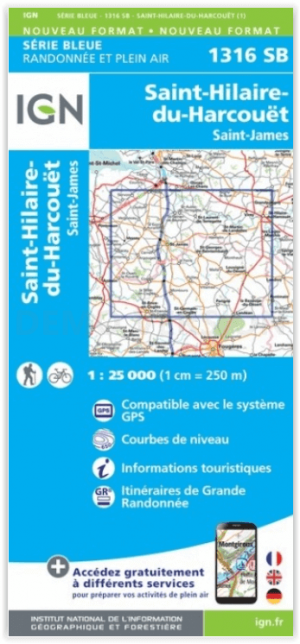
Wandelkaart 1316 SB St-Hilaire-du-Harcouët - St-James - IGN • 9782758545941
Wandelkaart St-Hilaire-du-Harcouët - St-James - IGN Productomschrijving: St-Hilaire-du-Harcouët & St-James zijn gemeentes in het Franse departement Manche in regio Normandië. De plaatsen maken deel uit van het arrondissement Avranches. De TOP 25-serie is de cartografische referentie in Frankrijk: - Een nauwkeurige beschrijving van het grondgebied op een schaal van 1: 25.000 (1 cm = 2…

Wandelkaart 1316 SB St-Pierre-Dives & Mézidon - IGN • 9782758537014
Wandelkaart 1316 SB - St-Pierre-Dives & Mézidon Productomschrijving: St-Pierre-Dives, Mézidon & Bretteville-sur-Laize zijn gemeentes in het Franse departement Calvados, regio Basse-Normandie. De plaats maakt deel uit van het arrondissement Lisieux. Tussen 2014 en 2018, worden alle SERIE BLUE kaarten in de collectie vernieuwd. Een nieuwe kaart voor optimale leesbaarheid, met de precieze mee…
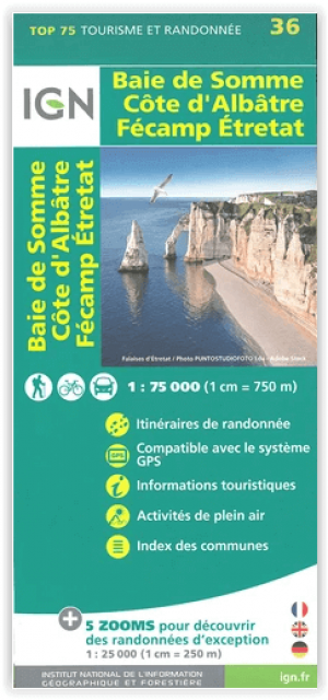
Wandelkaart TOP75 36 Baie de Somme & Côte d'Albâtre - IGN • 9782758551331
Wandelkaart Baie de Somme & Côte d'Albâtre - IGN Productomschrijving: Gecentreerd op uitzonderlijke locaties (natuurparken, gerenommeerde massieven ...) De TOP 75-kaarten verzamelen zich in één product: - Een zeer nauwkeurige algemene kaart om het gebied te ontdekken, op een schaal van 1: 75.000 - 5 essentiële extracten van TOP 25 op de schaal van 1: 25 000, voor wandelen - …

Fietsgids Plages du débarquement à vélo - Ed. Chamina • 9782844665423
Plages du débarquement à vélo - Ed. Chamina Productomschrijving: Van Ouistreham Caen, in Calvados, tot Quinéville in de Manche biedt deze gids een originele route van 470 kilometer om de landingsstranden van D-Day te ontdekken. Naast de 9 beschreven etappes stelt de auteur 10 escapades voor, verspreid over de route, om de belangrijkste en meest emblematische plaatsen van deze zeer bijzonde…