

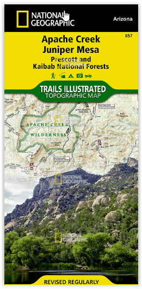
Wandelkaart Apache Creek & Juniper Mesa Wilderness Area - Nat Geo
Voor de echte avonturier
Korte omschrijving
Wandelkaarten Arizona, USA van National Geographic. Ideaal voor tochten in Verenigde Staten van Amerika (USA).
Apache Creek - Juniper Mesa Arizona - Nat Geo Productomschrijving: De perfecte gezelschap voor al uw outdoor avonturen in Arizona. Met Prescott & Kaibab National Forests Op deze kaart st...

Specificaties
- Uitgever: National Geographic
- ISBN-13: 9781566955164
- HOOFDCATEGORIEËN: Wandelkaart
- Activiteiten: Wandelen, Hiking & Trekking
- Auteur: National Geographic
- Regio: Arizona, USA
- Land: Verenigde Staten van Amerika (USA)
- TOPO's & Stafkaarten: Topografisch wandelen
- Schaal: 1:70000
- Taal: Engels
Volledige omschrijving
Apache Creek - Juniper Mesa Arizona - Nat Geo
Productomschrijving: De perfecte gezelschap voor al uw outdoor avonturen in Arizona. Met Prescott & Kaibab National Forests
Op deze kaart staat ook: Big Chino Valley, Chino Valley, Granite Mountain, Granite Mountain (AZ) Wilderness, Juniper Mesa Wilderness, Juniper Mountains, Kaibab National Forest, Lonesome Valley, Prescott National Forest, Prescott Valley, Santa Maria Mountains.
Engelse omschrijving: Outdoor enthusiasts adventuring through the northern half of Prescott National Forest will find National Geographic's Trails Illustrated map of Apache Creek and Juniper Mesa an essential travel companion. Covering the area with unmatched detail, this comprehensive map was expertly researched and created in cooperation with the U.S. Forest Service and others. Some of the recreation hotspots shown are Apache Creek, Juniper Mesa, Woodchute and Granite Mountain Wilderness areas, Upper Verde River State Wildlife Area, Black Hills and Verde Wild and Scenic River.
Explore the area by following mapped trails, clearly labeled for motorized or non-motorized use, including parts of the Great Western Trail, which are highlighted. To aid in your navigation, the map displays contour lines, elevations, labeled peaks, summits and mesas, water features, areas of wooded cover, selected waypoints, numbered Forest Service roads and clearly marked areas of public and private land. Additionally shown is a complete road network including scenic byways, as well as the Chino Valley area. Other recreation features pinpointed are trailheads, campgrounds, ATV areas, motorcycle trails, shooting ranges, boat launches, picnic areas and scenic viewpoints. Background information about the various public lands, a recreation overview, safety tips and essential contact information are also provided.
Every Trails Illustrated map is printed on "Backcountry Tough" waterproof, tear-resistant paper. A full UTM grid is printed on the map to aid with GPS navigation.
Other features found on this map include: Big Chino Valley, Chino Valley, Granite Mountain, Granite Mountain (AZ) Wilderness, Juniper Mesa Wilderness, Juniper Mountains, Kaibab National Forest, Lonesome Valley, Prescott National Forest, Prescott Valley, Santa Maria Mountains.
Locatie op kaart
Artikelen uit dezelfde regio
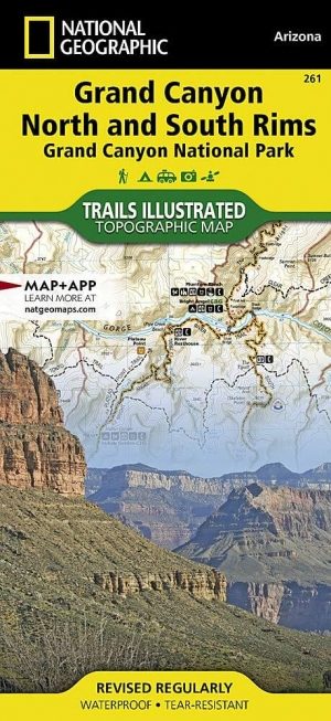
Wandelkaart 261 Grand Canyon NP - Bright Angel - Arizona • 9781566954952
TOPO Wandelkaart 261 - Grand Canyon NP - Bright Angel- Arizona Productomschrijving: De Grand Canyon is een zeer brede en diepe kloof in het noorden van de Amerikaanse staat Arizona. In de loop van miljoenen jaren heeft het water van de Colorado deze kloof in het landschap doen ontstaan. Deze extreme erosie werd mogelijk doordat het gebied waarin de kloof ligt steeds verder omhoog rees. …

Stadskaart plattegrond Phoenix Arizona USA - Borch • 9783866093010
Wandelkaart Phoenix Arizona USA - Borch Productomschrijving: Our soft-laminated folded map of Phoenix in the 8th edition shows: Phoenix 1:105.000, Downtown Phoenix 1:20.000, Downtown Scottsdale 1:20.000, Arizona 1:3.050.000, Heritage Square 1: 3.000, Sky Harbour International Airport, USA administrative & time zones, Top 30 sights. Borch maps are easy to fold, durable and water-repellent w…
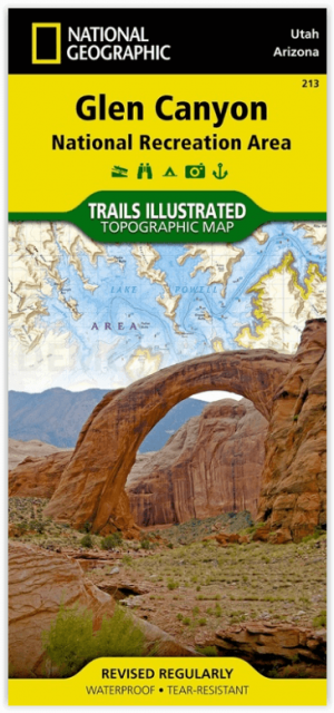
Wandelkaart 213 Glen Canyon & Capitol Reef NP - Nat Geo • 9781566953436
Wandelkaart Glen Canyon & Capitol Reef NP - Nat Geo Omvat: Bullfrog Creek, Cataract Canyon, Dirty Devil River, Escalante River, Glen Canyon, Glen Canyon Dam, Glen Canyon National Recreation Area, Kaibito Creek, Lake Powell, Mount Hillers, Navajo Creek, Paria River, Rainbow Plateau, Red Canyon, San Juan River, Smoky Mountain, Wahweap Creek, Wilson Mesa. Engelse omschrijving: Let Nationa…

Reisgids Arizona & the Grand Canyon - Insight Guides ENG • 9781839053122
Arizona & the Grand Canyon - Insight Guides Productomschrijving: Van het beslissen wanneer te vertrekken, tot het kiezen wat je wil zien als je er aankomt. Deze Insight Guides boek is alles wat je nodig hebt om uw reis te plannen en ervaar het beste van Arizona en de GrandCanyon, met diepgaande insider informatie over must-see, top attracties zoals Monument Valley, en verborgen culturele …

Reisgids Arizona & the Grand Canyon - Insight Guides ENG • 9781780052915
Reisgids Arizona & the Grand Canyon - Insight Guides Productomschrijving: From deciding when to go, to choosing what to see when youarrive, this Insight Guides book is allyou need to plan your trip and experience the best of Arizona and the GrandCanyon, with in-depth insider information on must-see, top attractions like Monument Valley, and hidden cultural gems like Tempe Center for the Ar…