
Wandelkaart Adventure Series Lough Derg Shannon Lakes - OSI
Covers a section of the Shannon River from Portumna through Lough
Korte omschrijving
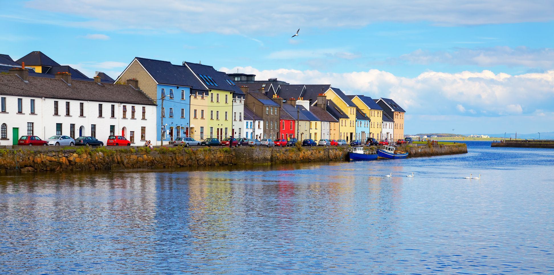
Wandelkaarten County Clare, Ierland en County Galway, Ierland van Ordnance Survey Ireland. Ideaal voor tochten in Ierland.
Wandelkaart Lough Derg Shannon Lakes - OSI Productomschrijving: This map covers a section of the Shannon River from Portumna through Lough Derg in the north extending down to Killaloe, Coun...

Specificaties
- Uitgever: Ordnance Survey Ireland
- ISBN-13: 9781908852687
- HOOFDCATEGORIEËN: Wandelkaart
- Activiteiten: Wandelen, Hiking & Trekking
- Regio: County Clare, Ierland, County Galway, Ierland
- Land: Ierland
- Schaal: 1:25000
- Taal: Engels
- Reeks/Serie: Adventure Series, OSI
Volledige omschrijving
Wandelkaart Lough Derg Shannon Lakes - OSI
Productomschrijving: This map covers a section of the Shannon River from Portumna through Lough Derg in the north extending down to Killaloe, County Clare and Ballina, County Tipperary. The counties of Clare and Tipperary comprise the majority of the map, with a smaller area of County Galway included.
The N52 is shown, and runs through Borrisokane. The R352 and a small section of the M7 are included. The major towns are Portumna, Terryglass, Borrisokane, Mountshannon, Dromineer, Scarriff and also Ballina County Tipperary and Killaloe County Clare. Nenagh is included as a special insert, indicated with a red line A-B.
The main feature of this map is the River Shannon which enters Lough Derg near Portumna and flows out between the towns of Killaloe, County Clare and Ballina, County Tipperary.
Bays and harbours are a feature of the lough and include Portumna Bay, Terryglass Harbour, Nutgrove Harbour, Dromineer Bay, Mountshannon Bay and Scarriff Bay.
Numerous islands are dotted along the length of the lake and include the following islands; Illaunmore, Iniscaltra, Spa Island North and South, Goat Island and Rabbit Island. The River Nenagh flows into Lough Derg near Dromineer.
Boat hire is a major activity on the River Shannon. Water sports and activities are the emphasis of this map, with additional information provided for activities on the river. Navigation Channels and Navigation Markers along with Slipways, Mooring Points, and Locks are just some of the additional features on this map series.
Numerous walks, ways and trails are dotted throughout the map. Among them are the Forest Friendly Trail, East Clare Way, Nenagh Cycle Hub Loop 01/02/03, Lough Derg Way, Ballycuggaran Loop, Crag Wood Walk, Arra Mountain Loop, and Graves of the Leinster Men Loop. Three Discovery maps 1:50 000 also cover this area with Sheet 53 covering the northern part of the map and Sheet 59 covering the southern part. Sheet 58 covers the south western portion.

Artikelen uit dezelfde regio
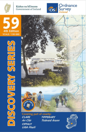
Wandelkaart 59 County Clare, Offaly & Tipperary - OSI • 9781912140237
Wandelkaart County Clare, Offaly & Tipperary - OSI Productomschrijving: Ontdek Ierland met de Discovery Series Wandelkaarten van Ordnance Survey Ireland. Omvat: de Counties Clare, Offaly & Tipperary. De Discovery Series wandelkaarten van Ordnance Survey Ireland (OSi) zijn dé keuze voor wandelaars, fietsers en avonturiers die Ierland echt willen verkennen. Deze hoogwaardige topogra…
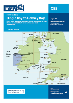
Passagekaart C55 Dingle Bay > Galway Bay Zuidkust Ierland - Imray • 9781846236853
Passagekaart Dingle Bay > Galway Bay Zuidkust Ierland - Imray Productomschrijving: Voor deze editie zijn magnetische variatiecurves toegevoegd. De kaart is volledig geactualiseerd.. (Freytag & Berndt) - 1 : 200.000 - Kaart omvat: De westkust van Ierland van Galway Bay tot Dingle Bay. Rasterlijnen van één en twee minuten. Grotere schaalplannen van Fenit Island, Foynes Island, Limerick, Ki…
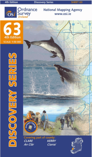
Wandelkaart 63 County Clare & Kerry - OSI • 9781907122927
Wandelkaart Counties Clare & Kerry - OSI Productomschrijving: Ontdek Ierland met de Discovery Series Wandelkaarten van Ordnance Survey Ireland. Omvat de Counties: Clare & Kerry. De Discovery Series wandelkaarten van Ordnance Survey Ireland (OSi) zijn dé keuze voor wandelaars, fietsers en avonturiers die Ierland echt willen verkennen. Deze hoogwaardige topografische kaarten bieden …
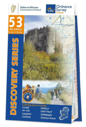
Wandelkaart 53 Clounty Clare, Galway, Offaly & Tipperary - OSI • 9781912140091
Wandelkaart Clounty Clare, Galway, Offaly & Tipperary - OSI Productomschrijving: Ontdek Ierland met de Discovery Series Wandelkaarten van Ordnance Survey Ireland. Omvat: delen van de Counties Clare, Galway, Offaly & Tipperary. De Discovery Series wandelkaarten van Ordnance Survey Ireland (OSi) zijn dé keuze voor wandelaars, fietsers en avonturiers die Ierland echt willen verkennen.…

Wandelkaart 51 County Clare & Galway (COASTLINE) - OSI • 9781912140213
Wandelkaart County Clare & Galway - OSI Productomschrijving: Ontdek Ierland met de Discovery Series Wandelkaarten van Ordnance Survey Ireland.. Omvat: de Counties Clare & Galway. De Discovery Series wandelkaarten van Ordnance Survey Ireland (OSi) zijn dé keuze voor wandelaars, fietsers en avonturiers die Ierland echt willen verkennen. Deze hoogwaardige topografische kaarten bieden…