
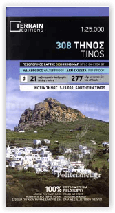
Wandelkaart 308 Tinos Egeïsche eilanden - Terrain Editions
Een gloednieuwe kaart voor het eerst in de geschiedenis
Korte omschrijving
Wandelkaarten Griekse eilanden en Egeische eilanden, Griekenland van Terrain Editions. Ideaal voor tochten in Griekenland.
Wandelkaart Tinos Egeïsche eilanden - Terrain Editions Productomschrijving: Het is de eerste keer dat de hele kustlijn van het eiland in kaart is gebracht. De cartografie is uitgevoerd met h...

Specificaties
- Uitgever: Terrain Editions
- ISBN-13: 9786185160241
- HOOFDCATEGORIEËN: Wandelkaart
- Activiteiten: Wandelen, Hiking & Trekking
- Regio: Egeische eilanden, Griekenland, Griekse eilanden
- Land: Griekenland
- Schaal: 1:25000
- Taal: Engels
- De Griekse Eilanden: Egeische eilanden
Volledige omschrijving
Wandelkaart Tinos Egeïsche eilanden - Terrain Editions
Productomschrijving: Het is de eerste keer dat de hele kustlijn van het eiland in kaart is gebracht. De cartografie is uitgevoerd met het speciaal uitgeruste en bemande cartografische schip van TERRAIN. Dit betekent dat je alle stranden van het eiland kunt vinden, tot aan de kleinste inham! In feite zijn de speciale kenmerken van elk strand vastgelegd: of het zand- of kiezelstrand is, of het natuurlijke schaduw van bomen, water, een strandbar of georganiseerde watersporten heeft, of de zeebodem voor het strand zanderig of rotsachtig is (zodat je weet waar je moet anker
Engelse omschrijving: It is the first time the island’s entire coastline is mapped. Cartography was done with TERRAIN’s specially equipped and staffed cartographic vessel. This means that you can locate all beaches of the island, down to the tiniest cove! In fact, the special features of every single beach are recorded: whether it is sandy or pebbled, whether it features natural tree shade, water, a beach bar or organized water sports, whether the seabed in front of the beach is sandy or rocky (so that you will know where to anchor).
It features the most complete road network. The dirt road approaching Lia beach, the dirt road going down to Aghios Sostis beach, and the dirt road leading to Kalogeros beach are just a few of the roads appearing on a map of Serifos for the first time. It also features more trails than any other map on the market. For example, take a look at the trails north of Kionia and you will understand what it’s all about! Tinos possibly features the biggest trail network in the Cycladic islands. Most trails, however, are not marked nor maintained, making the TERRAIN map of Tinos an indispensable tool for hikers. Recording the trails of Tinos was a month-long joint effort between 5 TERRAIN cartographers! The 9 most important trails of Tinos are described on the back of the map. Moreover, there are detailed descriptions of 9 trails on the back, including their total length in kilometers and the duration of the hike.
Rock climbing. This is the first map of Tinos featuring all bouldering crags, plus detailed information about sport climbing routes and sectors at the crag of Xombourgho. It indicates the boundaries of NATURA 2000 areas so that you will know which parts of the island are of special environmental interest and beauty – thus you can enjoy traveling through them, but also take care to protect them.
The whole island is shown in one piece. There is another map of Tinos on the market at a more detailed scale, but part of the island is cut out and appears in a separate box. With our map at its current scale, we can depict the whole island without ‘amputating’ it, while at the same time we do not compromise the clarity of information
Locatie op kaart
Artikelen uit dezelfde regio
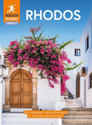
Reisgids Rough guides Compact Rhodos (Nederlands) - Delta's • 9789044771831
Reisgids Rhodos (Nederlandstalig) - Delta's Productomschrijving: Rough Guides Compact - Rhodos is een van de meest veelzijdige eilanden van Griekenland. Het combineert een indrukwekkende middeleeuwse geschiedenis met witte dorpjes en azuurblauwe baaien. Hier zijn de absolute hoogtepunten van Rhodos: 1. Rhodos-Stad: Middeleeuwse pracht De oude stad van Rhodos is een van de best be…
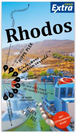
Reisgids Anwb Extra Rhodos Griekenland - Anwb • 9789018049805
Reisgids Rhodos Griekenland - Anwb Productomschrijving: Beleef Rhodos met de compleet vernieuwde reisgids ANWB Extra Rhodos! De veelzijdigheid van Rhodos is voor menig toerist zeer aantrekkelijk. Wie niet komt voor de olijfbomenromantiek of de verlaten stranden kan genieten van het kosmopolitische uitgaansleven met de vele discotheken en winkels. De ANWB Extra reisgids Rhodos bied…
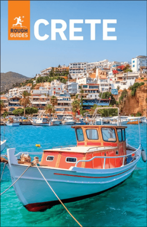
Reisgids Crete Kreta Greece - Rough Guides • 9781835296370
Reisgids Crete - Rough Guides Productomschrijving: The Rough Guide to Crete is the most in-depth and reliable guide to one of Europe’s most beautiful islands. With thorough coverage of everything from big sights such as the Samariá Gorge and Knossós to tiny mountain hamlets and idyllic, unspoilt coves, The Rough Guide to Crete will ensure you make the most of your time on the island. Whet…

Wandelkaart 219 Alonissos Noordelijke Sporaden - Road Editions • 9789604489619
Wandelkaart Alonissos - Road Editions Productomschrijving: Een algemene, gedetailleerde wandelkaart van het eiland Alonissos, een eiland en gemeente dat deel uitmaakt van de eilandengroep de Noordelijke Sporaden, gelegen in het noordwesten van de Egeïsche Zee en behoort tot de bestuurlijke regio Thessalië van Griekenland. De kaart omvat alle nodige toeristische informatie zoa shotels e.a. …

Reisgids Rhodes Griekendland - Mini Rough Guides • 9781835292112
Reisgids Rhodes Griekendland - Rough Guides Productomschrijving: This pocket-sized guide is a convenient, quick-reference companion to discovering what to do, what to see and how to get around Rhodes. It covers top attractions like Rhodes New Town, Petaloúdes and Lìndos, as well as hidden gems, including a day-trip to the stunning neoclassical mansions on Symi Island, discovering the brea…