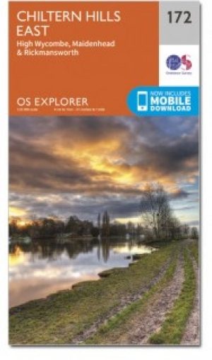
Wandelkaart 172 Chiltern Hills East AONB- Oxfordshire- OSI
Omvat High Wycombe- Maidenhead & Rickmansworth
Korte omschrijving
Wandelkaart Chiltern Hills East AONB - Oxfordshire England Omvat ook: High Wycombe, Maidenhead & Rickmansworth. Productbeschrijving: Kaart nummer 172 in de OS Explorer kaarten reeks omva...

Specificaties
- Uitgever: Ordnance Survey
- ISBN-13: 9780319470442
- HOOFDCATEGORIEËN: Wandelkaart
- Activiteiten: Wandelen, Hiking & Trekking
- Regio: Bedfordshire, England, Buckinghamshire, England, Herefordshire, England, Oxfordshire west England
- Land: England
- Waterafstotende kaart: Ordnance Survey ACTIVE Explorer Weatherproof Maps
- Schaal: 1:25000
- Taal: Engels
- Reeks: Explorer ACTIVE Series OSI
Volledige omschrijving
Wandelkaart Chiltern Hills East AONB - Oxfordshire England
Omvat ook: High Wycombe, Maidenhead & Rickmansworth.
Productbeschrijving: Kaart nummer 172 in de OS Explorer kaarten reeks omvat High Wycombe, Maidenhead, Rickmansworth, Gerrards Cross, Northwood, Slough, Uxbridge, Hillingdon, Amersham, Chorleywood, Ruislip en Marlow, de oostelijke Chiltern Hills AONB en het pad van de Thames. De OS Explorer kaart voor Chiltern Hills-Oosten is beschikbaar in zowel de standaard papieren versie als de weerbestendige 'Actief' versie.
Productdiscription: Map sheet number 172 in the OS Explorer series covers High Wycombe, Maidenhead, Rickmansworth, Gerrards Cross, Northwood, Slough, Uxbridge, Hillingdon, Amersham, Chorleywood, Ruislip and Marlow, the eastern Chiltern Hills AONB and the Thames Path. The OS Explorer map for Chiltern Hills East is available in both the standard paper version and weatherproof 'Active' version.
Locatie op kaart
Gekoppelde artikelen

Wandelkaart 172 Chiltern Hills East AONB - Wycombe - OSI • 9780319243657
standaard versieWandelkaart Chiltern Hills East AONB - Wycombe England Productbeschrijving: High Wycombe, Maidenhead & Rickmansworth. 172 / Chiltern Hills East, Wycombe, England - Kaart blad nummer 172 in de OS Explorer reeks omvat High Wycombe, Maidenhead, Rickmansworth, Gerrards Cross, Northwood, Slough, Uxbridge, Hillingdon, Amersham, Chorleywood, Ruislip en Marlow, de oostelijke Chiltern Hills AO…

Wandelkaart 172 Chiltern Hills East AONB- Oxfordshire- OSI • 9780319470442
weatherproof versieWandelkaart Chiltern Hills East AONB - Oxfordshire England Omvat ook: High Wycombe, Maidenhead & Rickmansworth. Productbeschrijving: Kaart nummer 172 in de OS Explorer kaarten reeks omvat High Wycombe, Maidenhead, Rickmansworth, Gerrards Cross, Northwood, Slough, Uxbridge, Hillingdon, Amersham, Chorleywood, Ruislip en Marlow, de oostelijke Chiltern Hills AONB en het pad van de Thames. …
Artikelen uit dezelfde regio

Wandelgids Exploring the Cotswolds - Goldeneye • 9781859652862
Exploring the Cotswolds - Goldeneye Productomschrijving: Dit Cotswold Boek is anders. Het is een onafhankelijke stem, omdat alle inzendingen worden gekozen op basis van verdienste, en verdienste alleen. In ons digitale tijdperk waar (reis) informatie wordt verstrekt door enorme reclame budgetten. Hierbij een verfrissende en verhelderende kijk op wat de Cotswolds de bezoeker en bewoner te b…

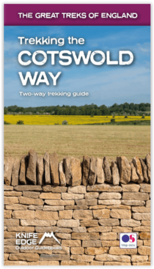
Wandelgids Cotswold - Way Two-way trekking guide - Knife Edge • 9781912933136
Cotswold - Way Two-way trekking guide - Knife Edge Productomschrijving: De Cotswold Way legt 102 mijl af door het sublieme landschap van de Cotswolds, een streek die het toonbeeld is van historisch Engeland. Onderweg gaat u over de top van de Cotswold Escarpment door een prachtig glooiend landschap en historische chocolade-doosdorpjes, gebouwd van prachtige honingkleurige stenen, die eeuwe…

Wandelkaart 191 Banbury- Bicester & Chipping Norton- OSI • 9780319243848
Wandelkaart Banbury- Bicester & Chipping Norton - Oxfordshire Omvat ook: Brackley Productomschrijving: Kaart nummer 191 in de OS Explorer kaarten reeks heeft betrekking op een gedeelte van de Cotswolds AONB, de Macmillan Way en Wychwood way recreative path. Hoogtepunten van het gebied zijn de steden van Banbury, Chipping Norton, Brackley Bicester, en het Oxford Canal Walk. De OS Explor…

Wandelkaart 170 Abingdon- Wantage & Vale - OSI • 9780319470428
Wandelkaart Abingdon- Wantage & Vale - Oxfordshire England Omvat ook: Wallingford & Faringdon. Productbeschrijving: Kaart nummer 170 in de OS Explorer kaarten reeks heeft betrekking op The Vale of the White Horse, en het paard zelf in Uffington, North Wessex Downs AONB, een verzameling van grote Westenlijke bossen en een klein deel van de Chiltern Hills AONB. Ook zijn de nederzettingen…

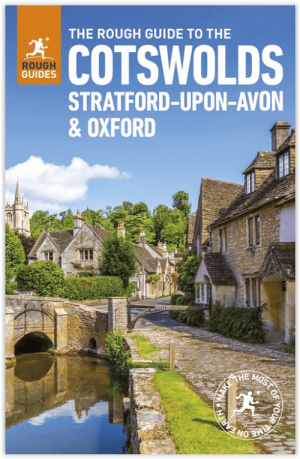
Reisgids Cotswolds England - Rough Guides • 9780241308752
Reisgids Cotswolds England - Rough Guides Productomschrijving: The Rough Guide to the Cotswolds AONB is your definitive handbook to one of the most beautiful and diverse holiday destinations in the UK. From stately homes and wildlife parks to modern art galleries, country walks and adventure sports, there is a section that introduces all of the regions’ highlights. For every town and v…


