

Wandelgids Lake District North - Cicerone Press
100 scrambling routes in the north of the English Lake District

Korte omschrijving
Wandelgidsen Cumbria, England van CICERONE Press. Ideaal voor tochten in England.
Walks & scrambles Lake District North - Cicerone Productomschrijving: omvat 100 klauterroutes in het noorden van het Engelse Lake District, die Wasdale, Ennerdale, Buttermere, Borrowdale, Bl...

Specificaties
- Uitgever: CICERONE Press
- ISBN-13: 9781786310460
- HOOFDCATEGORIEËN: Wandelgids
- Activiteiten: Wandelen, Hiking & Trekking
- Auteur: John Fleetwood
- Regio: Cumbria, England
- Land: England
- Editie: 1
- Taal: Engels
- De Nationale Parken: Lake district National Park, England
- Iconische Wandelroutes: Lake district, Cumbria England
- Wandelen in de Bossen & natuurgebieden van Europa: Lake district, England
Volledige omschrijving
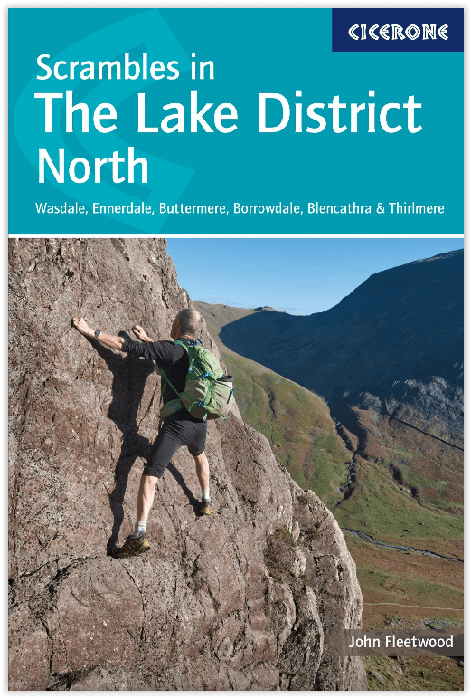
Walks & scrambles Lake District North - Cicerone
Productomschrijving: omvat 100 klauterroutes in het noorden van het Engelse Lake District, die Wasdale, Ennerdale, Buttermere, Borrowdale, Blencathra en Thirlmere omvatten. De gids presenteert een uitgebreide verzameling scrambles op rotsen en kieuwen, die aan elkaar zijn gekoppeld om 25 eersteklas bergdagen te vormen. De zorgvuldig gesorteerde routes variëren van klauterklasse 1 tot klimklasse V Diff, dus er is iets voor zowel beginners als ervaren bergbeklimmers. Voor moeilijkere routes is rotsklimmateriaal nodig.
Engelse omschrijving: Guide to 100 scrambling routes in the north of the English Lake District, covering Wasdale, Ennerdale, Buttermere, Borrowdale, Blencathra and Thirlmere. It presents a comprehensive collection of scrambles on crags and gills, which are linked together to form 25 first-class mountain days. The carefully graded routes range from scrambling grade 1 to climbing grade V Diff, so there is something for beginners as well as veteran mountaineers. Rock climbing equipment is needed for more difficult routes.
Each scramble is described with notes about grade, quality, aspect and approach, with colour maps and topos to aid navigation. There is information on safety and equipment, and listings of scrambles by location and grade to allow the reader to assemble their own tailor-made combination of routes.
The Lake District is one of the most scenic areas in the world and this guide includes popular routes such as Sharp Edge, Cam Crag Ridge and Sphinx Ridge, dramatic gills like Sandbed and Ill Gills, and 28 classic rock climbs including Corvus, Needle Ridge, Grey Knotts Face and Steeple's East Buttress.

Artikelen uit dezelfde regio
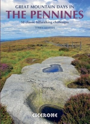
Wandelgids Great Mountain Days in the Pennines - Cicerone • 9781852846503
Wandelgids - Great Mountain Days in the Pennines - Cicerone Productomschrijving: Een inspirerende gids naar 50 klassieke wandelingen op het glooiende landschap van de Walliser. De gesorteerde routes, tussen 6 en 13 mijl in lengte, dekken de klassieke Walliser fells en veenland zoals Whernside, Ilkley Moor en Pendle Hill; verkennen van Noord- en Zuid-Pennines, Yorkshire Dales, Howgills en D…
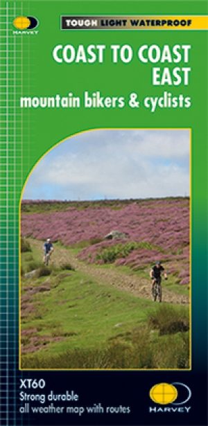
Fietskaart Coast to Coast East England - Harvey maps • 9781851375325
Fietskaart Coast to Coast East England - Harvey maps Productomschrijving: De route van kust tot kust, is bedekt met twee kaarten. De doortocht van kust naar kust is ongeveer 200 mijl. Er is geen één definitieve route. Deze kaarten suggereren twee belangrijkste alternatieven, St Bees naar Robin Hoods Bay (bedacht door Tim Woodcock of Bicester aan Wykeham bedacht door pedaal Noord. De XT60 n…
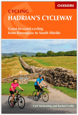
Fietsgids Hadrian's Cycleway - Cicerone • 9781786310422
Fietsgids - Hadrian's Cycleway - Cicerone Productomschrijving: Hadrian's Cycleway, een dikke 250 km lange kust tot kust fietsroute over noordelijk Engeland, die de route volgt voor zover mogelijk natuurlijk, langs de bekende Hadrian's Wall World Heritage Site. Deze route loopt van Ravenglass in Cumbria doorheen Northumberland to South Shields aan de oostkust van Engeland, met een eventuele…

Fietskaart Lake District NP Cumbria - Goldeneye • 9781859651841
Fietskaart Lake District NP - Goldeneye Productomschrijving: Op uw fiets op de gemakkelijke manier. Goldeneye zijn ringgebonden kaarten. De kaarten zijn water- en scheurvast, op de kaart staan plaatsen om te eten en drinken aangeduid, alsook navigatie- & referentiepunten, gemakkelijk te volgen richtingen, hoogtelijnen en doorgangsrechten. Goldeneye fiets- en wandelkaartserie zijn een zegen…
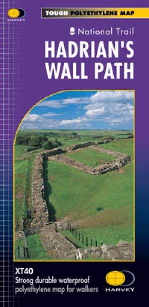
Wandelkaart Hadrian's Wall Path - Harvey maps • 9781851374380
Wandelkaart Hadrian's Wall Path - Harvey maps Productomschrijving: Kaart van de gehele Hadrians Way op één kaart. 130km (81 mijl) van de Solway Coast naar Newcastle. Met de gelegenheid voor een bezoek aan een groot aantal historische plekken langs de weg. Informatie over het vinden van accommodatie, camping, voedsel. Met routebeschrijving naar de start van de route. Nieuwe generatie H…