

Wandelgids 15 Short Walks in North Dartmoor NP - Cicerone
Okehampton and Chagford

Korte omschrijving
Wandelgidsen Devon, England van CICERONE Press. Ideaal voor tochten in England.
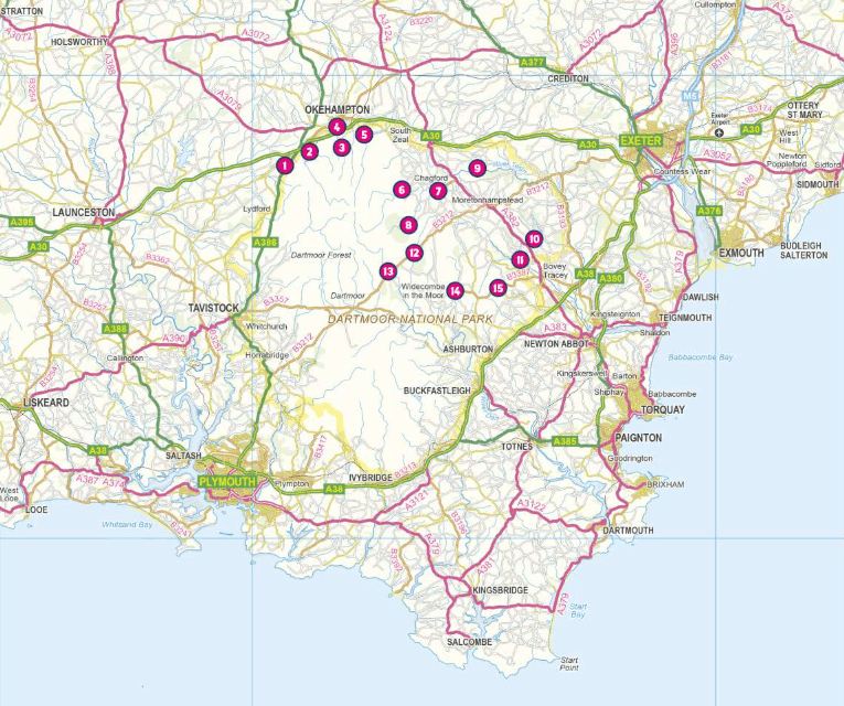
Wandelgids 15 Short Walks in North Dartmoor - Cicerone Productomschrijving: Would you like to explore the best of Okehampton and Chagford? This guidebook covers 15 of Dartmoor's best short w...

Specificaties
- Uitgever: CICERONE Press
- ISBN-13: 9781786311917
- HOOFDCATEGORIEËN: Wandelgids
- Activiteiten: Wandelen, Hiking & Trekking
- Auteur: Steve Davison
- Regio: Devon, England
- Land: England
- Editie: 1
- Taal: Engels
Volledige omschrijving
Wandelgids 15 Short Walks in North Dartmoor - Cicerone
Productomschrijving: Would you like to explore the best of Okehampton and Chagford? This guidebook covers 15 of Dartmoor's best short walks including Chagford, Belstone, Hound Tor and Bowerman's Nose, High Willhays and Yes Tor, and Meldon Reservoir.
Why choose this guidebook?
- Walks under three hours, plus one challenge route
- Easy to follow with clear route descriptions
- Facilities, parking and highlights for every route
- No specialist gear needed, walk all year round
- Ordnance Survey mapping
- Cicerone’s Short Walks guidebooks contain everything you need to get outdoors and discover the best of an area. The routes are perfect if you’re -new to walking or looking for something you can enjoy with the whole family. Let the adventures begin!
Artikelen uit dezelfde regio

Wandelkaart 114 Exeter & Exe Valley- Devon - OSI • 9780319469941
Wandelkaart Exeter & The Exe Valley - Devon England - OSI Productbeschrijving: Kaart nummer 114 in de OS Explorer reeks heeft betrekking op de Exeter vallei ten noorden van de stad van Exeter in Devon. Onderdelen van Exmoor en Dartmoor nationale parken zijn opgenomen in de kaart, samen met de Exe Valley way en Two Moors Way. Andere hoogtepunten van het gebied zijn Crediton, Tiverton Tivert…

Wandelkaart 141 Cheddar Gorge & Mendip Hills - OSI • 9780319243343
Wandelkaart Cheddar Gorge & Mendip Hills West - Devon - OSI Productbeschrijving: Wells & Glastonbury 141 / Cheddar Gorge & Mendip Hills West, Devon, England - Kaart nummer 141 in de OS Explorer reeks heeft betrekking op de westelijke heuvels van Mendip, Cheddar, Wells, Street en Glastonbury. Hoogtepunten van het gebied zijn onder andere: Cheddar Gorge, Wookey Hole, Glastonbury Tor, Bl…

Wandelkaart XT40 South West Coast Path 1 - Harvey maps • 9781851375547
Wandelkaart - South West Coast Path 1 - XT40 - Harvey maps Productomschrijving: Een wandelkaart die het zuidelijk deel beschrijft van het LAW wandelpad in de regio Devon / Cornwall, van Minehead tot St-Ives. De route telt in zijn geheel maar liefst 1014km lange wandelpad, genaamd "West Coast Path". De gehele route werd opgesplitst in 3 delen, De ISBN nrs van alle drie de kaarten zijn hiero…

Wandelkaart 191 Okehampton & North Dartmoor NP - OSI • 9780319262894
Wandelkaart Okehampton & North Dartmoor NP - England Productbeschrijving: Kaart nummer 191 in de OS Landranger kaarten reeks, is de perfecte kaart om te gebruiken bij het plannen van een reis naar het Okehampton gebied van Devon. Het gebied heeft veel te bieden voor vakantiegangers en dagjesmensen die uitstekend wandel- en landschappen willen beleven. Hoogtepunten van het gebied zijn onde…
Wandelkaart OL09 Exmoor NP Devon England - OS • 9780319242483
Wandelkaart Exmoor NP Devon England - OS Productomschrijving: Exmoor National Park, Devon England Omvat: Exmoor National Park, Devon England, Barnstaple, Lynton, Minehead & Dulverton. Ontdek de OL-serie van Ordnance Survey: De OL-serie (Outdoor Leisure) van Ordnance Survey is dé referentie voor wie gaat wandelen op de Britse eilanden. Deze topografische kaarten maken deel uit va…