

Organisation of swisstopo
The Federal Office of Topography “measures” Switzerland. It surveys and documents the landscape and the underground, and produces high-quality spatially-referenced geodata. Its most important products include landscape and height models, aerial images, orthophotos, geological data and maps, reference data and of course the well-known series of national maps.
The Federal Office of Topography swisstopo is Switzerland’s geoinformation centre. We supply accurate, up-to-date and reliable basic information for surveying Switzerland, collecting data on the landscape and subsoil and documenting this over time. With swisstopo, every location in Switzerland can be precisely determined to the last centimetre. swisstopo thus fulfils a federal task.
Our products include national maps, elevation and landscape models, aerial photographs, orthophotos, geological data and maps or applications on the Internet, as well as on mobile devices. The federal government’s map viewer at map.geo.admin.ch is a particularly important element.
The legal basis for swisstopo’s activities is the Federal Geoinformation Act. In addition to developing products, swisstopo is also responsible for coordinating activities relating to geoinformation and geology at the federal level, as well as for managing the Institute for Military Geography. Furthermore, it is responsible for the supervision of the cadastral survey and the Cadastre of public-law restrictions on landownership (PLR Cadastre), as well as for supervising the coordination of Swiss geodata in cooperation with the cantons, municipalities and the private sector.


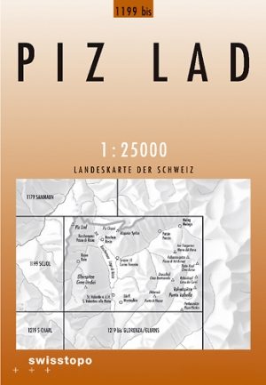
Wandelkaart 1199 bis Piz Lad Graubunden - Swisstopo • 9783302111995
Wandelkaart Piz Lad - Graubunden Zwitserland - Swisstopo Productomschrijving: Kaart 1199bis - Gelegen in het Uiterste Oosten van de Graubunden regio aanpalend aan het Parc Naziunal Svizzer Op de Oostenrijkse grens, in een bergachtige omgeving. Detail: Zeer gedetailleerde topografische kaarten & wandelkaarten van een klein stuke Zwitserland met schaal 1:25.000.en nr 1011 > 1374. De topo…
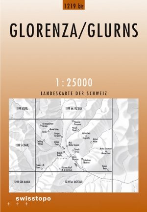
Wandelkaart 1219 bis- Glorenza Trentino Italië - Swisstopo • 9783302112190
Wandelkaart Glorenza - Trentino Italië - Swisstopo Productomtomschrijving: Kaart 1219bis - Het uiterste Oosten van het Parc Naziunal Svizzer ligt in Italië, waaraan Glorenza aanpaalt. Detail: Zeer gedetailleerde topografische kaarten & wandelkaarten van een klein stuke Zwitserland met schaal 1:25.000.en nr 1011 > 1374. De topografische details van deze kaarten zijn onmetelijk goed; de …
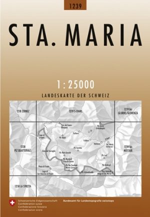
Wandelkaart 1239 Santa Maria Graubunden - Swisstopo • 9783302012391
Wandelkaart Santa Maria - Graubunden Zwitserland -Swisstopo Productomschrijving: Kaart 1239 - Gelegen in het Parc Naziunal Svizzer aan de Italiaanse grens vlak aan het wereldbekende Parco Nazionale dello Stelvio / National park Stiffer Joch (Stelvio nationaal park) Detail: Zeer gedetailleerde topografische wandelkaarten van een klein stuke Zwitserland. De topografische details van deze…

Wandelkaart 1239 bis - Müstair Graubunden - Swisstopo • 9783302112398
Wandelkaart bis Müstair - Graubunden Zwitserland - Swisstopo Productomschrijving: Kaart 1239bis - Gelegen in het Parc Naziunal Svizzer aan de Italiaanse grens vlak aan het werledbekende Parco Nazionale dello Stelvio / National park Stiffer Joch (Stelvio nationaal park) Detail: Zeer gedetailleerde topografische wandelkaarten van een klein stuke Zwitserland. De topografische details van …

Wandelkaart 1258 La Stretta Graubunden - Swisstopo • 9783302012582
Wandelkaart La Stretta Italië & Graubunden Zwitserland Productomschrijving: Kaart 1258 - Op de Italiaans- Zwitserse grens gelegen bergtop boven het skioord Livigno Detail: Zeer gedetailleerde topografische kaarten & wandelkaarten van een klein stuke Zwitserland met schaal 1:25.000.en nr 1011 > 1374. De topografische details van deze kaarten zijn onmetelijk goed; de werkelijkheid is per…