

Stadskaart Plattegrond Athene - Anavasi Ed.
Areos park - Acropolis - Panathinaikos Stadium - Keramikos


Korte omschrijving
Stadskaart Athene - Anavasi Productomschrijving: Central Athens on a handy size street plan, ideal for your city explorations! The map includes the entire center of Athens from Areos pa...

Specificaties
- Uitgever: Anavasi Editions
- ISBN-13: 9789609412322
- HOOFDCATEGORIEËN: Stadskaart plattegrond
- Activiteiten: Street/Road maps & city plans
- Regio: Athene, Griekenland, Griekenland vasteland
- Land: Griekenland
- Schaal: 1:9000
- Taal: Engels
- De Griekse Eilanden: Centraal Griekenland
Volledige omschrijving
Stadskaart Athene - Anavasi
Productomschrijving: Central Athens on a handy size street plan, ideal for your city explorations!
The map includes the entire center of Athens from Areos park to the Acropolis and the Panathinaikos Stadium, Keramikos and Megaron concert hall. There is the entire road network, Metro and Tram stations as well as the important monuments and archeological sites, the museums and other important buildings of the city.
On the back is the entire Attica basin from Parnitha to Sounio. There is the main road network, Metro stations and railway lines, Piraeus port and Eleftherios Venizelos airport. The map also includes the three mountains that enclose Attica basin as well as hiking information. There are also descriptions of selected attractions of Athens with coloured pictures.

Artikelen uit dezelfde regio
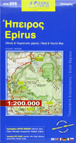
Landkaart Wegenkaart 055 Epirus - Orama Editions • 9789609159364
Wegenkaart Epirus - Orama Editions Productomschrijving: Gedetaillieerde wegenkaart van de regio van Epirus, vasteland Griekenland. De kaart omvat hotels en campings, met toeristische symbolen die allerhande historische plaatsen, kloosters, museas aangeven. De kaart is meertalig, met belangrijke steden met hun centrum kaart en register, en degelijk kleurengebruik. Ook hoogteverschillen zijn…

Landkaart Wegenkaart R1 Cyclades & Argosaronic - Anavasi Ed. • 9789609412599
Wegenkaart Cyclades & Argosaronic - Anavasi Ed. Productomschrijving: Cyclades & Argosaronic Islands R1, is a new map covering the areas of Attica with the Argosaronic islands of Salamina, Aegina, Ydra and Poros and all the Cyclades islands, printed on 2 sides with overlap. A very useful map, especially for island-hoppers, with short text for each island presenting the main monuments, o…

Wandelkaart 1.1 Mt. Parnitha NP - Anavasi • 9789608195554
Wandelkaart 1.1 - Mt. Parnitha NP - Anavasi Productomschrijving: Mount Parnitha, is een dichtbeboste bergketen ten noorden van Athene, de hoogste op het schiereiland van Attica, met een hoogte van 1.413 m, en een top bekend als Karavola. Veel van de berg is aangewezen als nationaal park, en is een beschermd habitat voor wilde vogels, voor het eerst opgezet in 1961. De top ligt op 18 km…
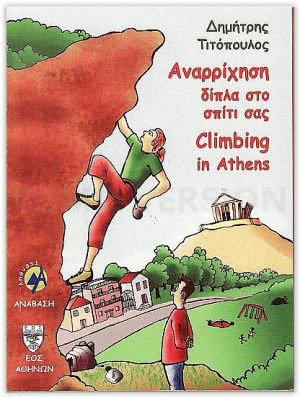
Klimgids Climbing in Athens - Anavasi Editions • 9789608195615
Climbing in Athens - Anavasi Productomschrijving: In deze gids worden alle kleine kliffen in kaart gebracht van gebieden als Likavitos, Imitos, Parnitha, Pendeli, Tourkovounia, Filopapou, Kakia Thalasa en anderen. De gids omvat onder meer ook locatiekaarten met geschetste topos van de rotsen met indeling. Engelse en Griekse tekst.

Reisgids Athene Griekse vasteland & Peloponnesos - Michelin • 9789401498470
Reisgids Groene gids Athene Griekse vasteland - Lannoo Productomschrijving: Groene Reisgids Griekse Vasteland, met Athene-Peloponnesos-Korfoe-Thessaloniki. - Michelin Editions - Haal meer uit uw vakantie met de Michelin-sterren! De serie Groene Reisgidsen van Michelin is een beproefde en betrouwbare reisgidsenreeks. Of u nu lekker lang met vakantie gaat of er zomaar even tussenui…