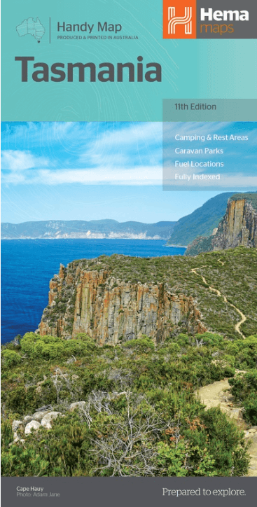
Landkaart Wegenkaart Tasmanië state handy - Hema
Tasmania Australia
Korte omschrijving
Wegenkaart Tasmanië state handy - Hema Productomschrijving: A compact map of Tasmania (TAS) for touring throughout the state with a distance grid and index for planning and reference. Marke...

Specificaties
- Uitgever: Hema Maps
- ISBN-13: 9321438002246
- HOOFDCATEGORIEËN: Wegenkaart - Landkaart
- Activiteiten: Street/Road maps & city plans
- Regio: Tasmania
- Land: Australië
- Schaal: 1:480000
- Editie: 11
- Taal: Engels
Volledige omschrijving
Wegenkaart Tasmanië state handy - Hema
Productomschrijving: A compact map of Tasmania (TAS) for touring throughout the state with a distance grid and index for planning and reference. Marked on the mapping are highways, major and minor roads, camping and rest areas, 24-hour fuel, information centres, picnic areas, caravan parks and lookouts.

Artikelen uit dezelfde regio

Landkaart Wegenkaart Tasmanië state map - Hema Maps • 9321438002208
Wegenkaart Tasmanië state map - Hema Productomschrijving: A fully indexed state map of Tasmania (TAS) at a scale of 1:480,000. Marked on the mapping are national parks, 24-hour fuel as well as camping and rest areas. On the reverse are regional maps of Launceston and Hobart, as well as CBD maps of Hobart, Launceston, Devonport and Burnie.

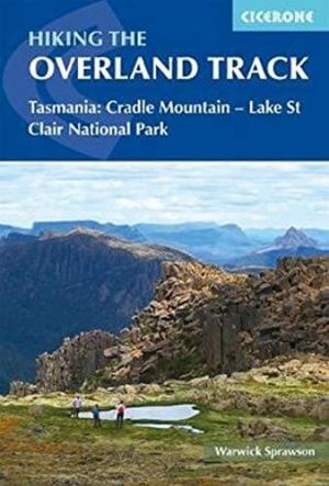
Wandelgids Hiking the overland Track on Tasmania - Cicerone • 9781786310132
Wandelgids - Hiking the overland Track on Tasmania - Cicerone Productomschrijving: Wandelgids over de iconische Overland Track van Tasmanië. De 80 km lange route van Cradle Valley naar Lake St. Clair, beschreven over 7 etappes, voert in gletsjer gesneden valleien, uitgestrekte moerassen van moerasregen, bemoste regenwouden, ruige pieken, donderende watervallen, alpenweiden en vredige meren…

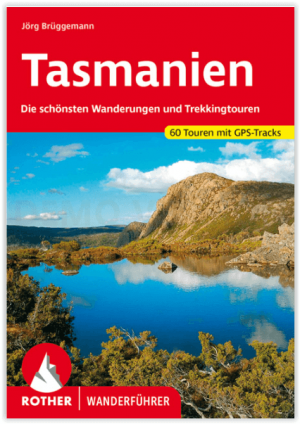
Wandelgids Tasmanien - Tasmanië - Rother Bergverlag • 9783763346585
Tasmanien - Tasmanië - Rother Bergverlag Productomschrijving: Tasmanië, de kleinste staat van Australië, verwent met ongerepte natuur, exotische planten en onbekende dieren - een waar paradijs voor liefhebbers van outdoor en trektochten. De Rother wandelgids "Tasmanië" presenteert de 60 mooiste wandelingen en trektochten op het groene eiland. Het aanbod varieert van korte ontdekkingswandel…

Wegenatlas Tasmanië atlas & gids Tasmanië - Hema Maps • 9321438001973
Wegenatlas Tasmanië atlas & gids - Hema Productomschrijving: The definitive guidebook for discovering Tasmania, featuring the Top 15 4WD Trips of the State and 5 of the best walking tracks. - This first edition Tasmania Atlas & Guide contains 40 atlas pages at a large scale of 1:150 000 in a stunning cartographic style. The guide features the Top 15 4WD Trips for Tassie, which has been…

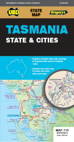
Landkaart Wegenkaart 719 Tasmania State & Cities - UBD Gregory's • 9780731932665
Wegenkaart Tasmania State & Cities - UBD Gregory's Productomschrijving: The latest edition of the Tasmania state and cities map has been fully revised and updated and includes: - State mapping at a scale of 1 : 625 000 and an index to towns and localities - Street Level mapping for Hobart and Launceston at a scale of 1:10.000, Devonport, Penguin, Burnie, Bicheno, Deloraine, Stanley,…


