
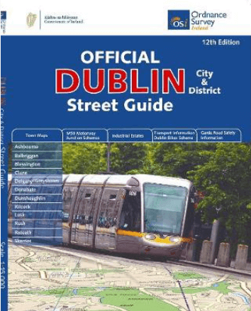
Wegenatlas Dublin official city & district street guide - OSI
District Street Guide
Korte omschrijving
Dublin official city & district street guide - OSI Productomschrijving: Dublin City and District Street Guide features include schematic maps of all major motorway junctions, and enlarged c...

Specificaties
- Uitgever: Ordnance Survey Ireland
- ISBN-13: 9781908852847
- HOOFDCATEGORIEËN: Stadskaart plattegrond, Wegenatlas
- Activiteiten: Road atlases & maps, Street/Road maps & city plans
- Regio: Dublin, Ierland
- Land: Ierland
- Schaal: 1:210000
- Editie: 12
- Taal: Engels
Volledige omschrijving
Dublin official city & district street guide - OSI
Productomschrijving: Dublin City and District Street Guide features include schematic maps of all major motorway junctions, and enlarged city centre map and 12 major town maps. Updated information and indexed lists of Hospitals, Embassies and Industrial Estates. Transport information for all main Bus and Rail routes.
- Enlarged city centre map
- Maps of Ashbourne, Balbriggan, Blessington, Clane, Delgany/Greystones, Donabate, Dunshaughlin, Kilcock, Lusk, Rush, Rafoath and Skerries
- Spiral-bound for ease of laying flat and quick navigation
- Schematic maps of all M50 motorway junctions
- Up-to-date and indexed information on hospitals, embassies and industrial estates
- Garda Road Safety Information
- Transport information for bus and rail routes and Dublin Bikes Scheme
Other Ordnance Survey Ireland maps of Dublin include Medieval Dublin, Dublin City Centre Tourist Map and Dublin Commuter Map.
Locatie op kaart
Artikelen uit dezelfde regio

Reisgids Dublin - Rough Guides • 9781835291641
Op reis naar Dublin - Mini Rough Guides Productomschrijving: This Mini Rough Guide to Dublin covers: Grafton Street and around; Old Dublin; Georgian Dublin; North of the river; Excursions around the city in County Dublin In this travel guide you will find: RECOMMENDATIONS FOR EVERY TYPE OF TRAVELLER Experiences selected for every kind of trip to Dublin, from cultural explorations…
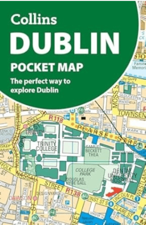
Stadsplattegrond Dublin pocket map - Harper Collins • 9780008716547
Stadskaart Dublin pocket map - Harper Collins Productomschrijving: Handy little full color Collins map of central Dublin with a high level of detail. Map at a scale of 1:7,800 (8 inches to 1 mile). Clear, detailed, full color Collins mapping is presented in a handy format ideal for the pocket or handbag. It is excellent value and covers the most visited area of central Dublin. It is an es…

Reisgids Pocket guide Dublin - Lonely Planet • 9781838698850
Reisgids Dublin - Lonely Planet Productomschrijving: Lonely Planet's Pocket Dublin is jou paspoort voor het meest relevante, up-to-date advies over wat te zien en over te slaan, en welke verborgen ontdekkingen op je wachten. Wandel door de geplaveide pleinen van Trinity College, de meest prestigieuze universiteit van Ierland, proef een pint van het beroemde zwarte spul in het Guinness Stor…
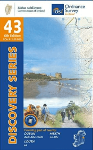
Wandelkaart 43 Dublin, County Louth & County Meath - OSI • 9781912140190
Wandelkaart Dublin, County Louth & County Meath - OSI Productomschrijving: Ontdek Ierland met de Discovery Series Wandelkaarten van Ordnance Survey Ireland. De Discovery Series wandelkaarten van Ordnance Survey Ireland (OSi) zijn dé keuze voor wandelaars, fietsers en avonturiers die Ierland echt willen verkennen. Deze hoogwaardige topografische kaarten bieden een gedetailleerd en nauw…
Reisgids Dublin Ierland - Gallimard • 9782742465651
Reisgids Dublin Ierland - Gallimard Productomschrijving: Van Trinity College tot Temple Bar, van Merrion Square tot Smithfield Village, van Parnell Square tot Phoenix Park en van de oevers van de Liffey tot het Grand Canal, de hoofdstad van Ierland kan in een oogwenk worden verkend met een gids als geen ander. Franse omschrijving: De Trinity College à Temple Bar, de Merrion Squar…