
Reisgids Scottish Highlands & Islands - Rough guides
A fully updated The Rough Guide to Scottish Highlands


Korte omschrijving
Reisgidsen Highlands, Schotland, Inner hybrids (Binnen-Hebriden), Schotland, Schetland Islands, Schotland, Outer Hybrids, (Buiten Hybriden) Schotland en Orkney Islands, Schotland van Rough Guides. Ideaal voor tochten in Schotland.
Scottish Highlands & Islands - Rough guides Product description: This fully updated The Rough Guide to Scottish Highlands and Islands is the ultimate guidebook to the captivating remote reac...

Specificaties
- Uitgever: Rough Guides
- ISBN-13: 9780241272312
- HOOFDCATEGORIEËN: Reisgids
- Activiteiten: Toerisme
- Regio: Highlands, Schotland, Inner hybrids (Binnen-Hebriden), Schotland, Orkney Islands, Schotland, Outer Hybrids, (Buiten Hybriden) Schotland, Schetland Islands, Schotland
- Land: Schotland
- Editie: 8
- Taal: Engels
- Reeks/Serie: Rough Guides Main, Rough Guides Mini
- De beroemdste Eilandengroepen: Inner Hybrids (Schotland), Isle of Skye (Schotland), Orkney Islands (Schotland), Outer Hybrids (Schotland), Schetland Islands (Schotland)
- Iconische Bergketens van Europa: De Schotse Highlands
Volledige omschrijving
Scottish Highlands & Islands - Rough guides
Product description: This fully updated The Rough Guide to Scottish Highlands and Islands is the ultimate guidebook to the captivating remote reaches of Scotland. From the divine seafood offerings at Loch Fyne to the whisky distilleries on Islay, this is a place for indulging. It’s also a hotspot for outdoor activities, whether you decide to bag a Munro or two, hop onto a mountain bike or stroll along deserted (if blustery) golden beaches.
The Rough Guide to Scottish Highlands and Islands contains more information than ever on where to go and what to see in this part of Scotland, with practical information on everything from events listings to transport logistics. There’s also coverage of the brand new North Coast 500 route, which loops around the northernmost reaches of the country.
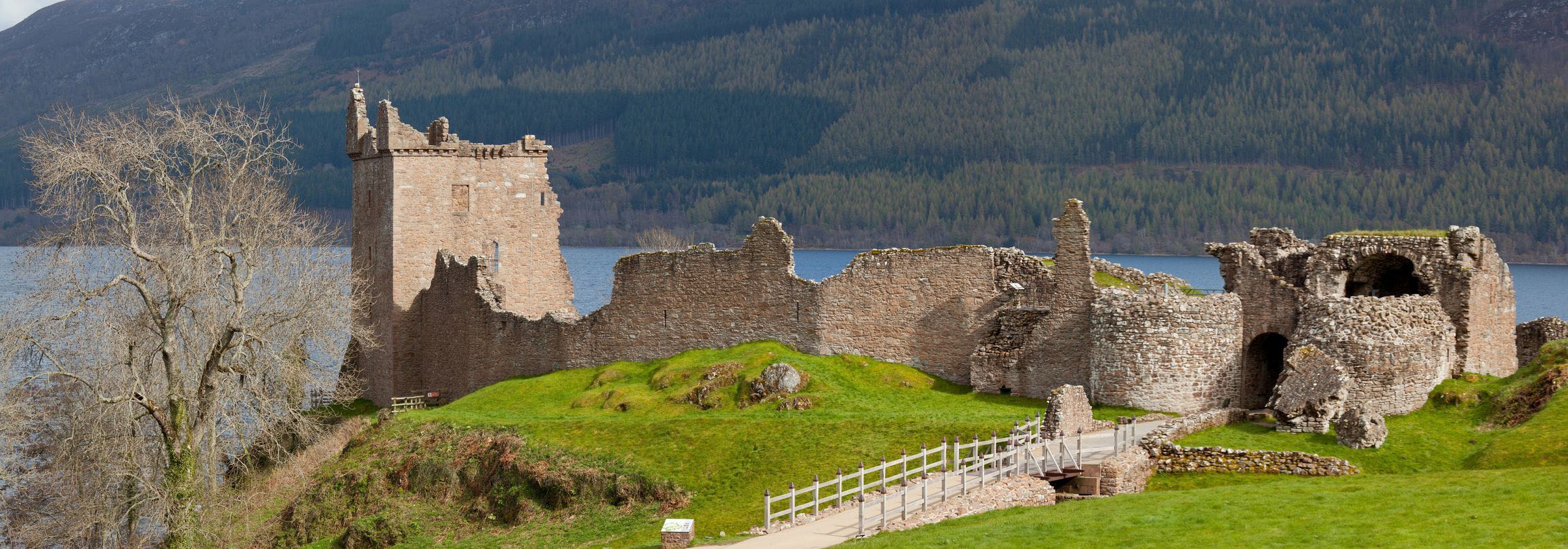
From Skye’s breathtaking Cuillin ridge to abandoned castles, via riproaring unplanned ceilidhs, this stark and weather beaten part of the planet will not disappoint.
Locatie op kaart
Artikelen uit dezelfde regio
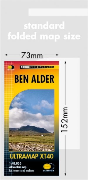
Wandelkaart XT40 Ben Alder Highlands - Harvey Ultramaps • 9781851375875
Wandelkaart XT40 - Ben Alder Highlands - Harvey Ultramaps Productomschrijving: Deze kaart bespreekt de omgeving van de Ben Alder, bij Dalwhinnie in de Schotse Highlands. Deze ultra map is gemaakt voor de actieve buitenmens. XT40 Ultra maps,sSlank en licht, de Ultramap heeft een grote oppervlakte en toch handig compact. Met een Uniek vouwpatroon kunt de kaart aan weerszijden van het bla…
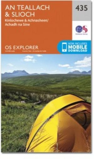
Wandelkaart 435 An Teallach & Slioch Schotland- OSI • 9780319472873
Wandelkaart An Teallach & Slioch - Highland's Schotland Omvat ook: Kinlochewe & Achnasheen. Productbeschrijving: OS Explorer kaart 435 omvat Loch Broom & Kinlochewe & de nationale Scenic area van Wester Ross. Als u van plan bent op op trektocht de Munros te ontdekken, staan er 10 op deze kaart, ondanks er weinig markt paden zijn aangeduid, zodat navigatie vaardigheden essentieel zijn! …
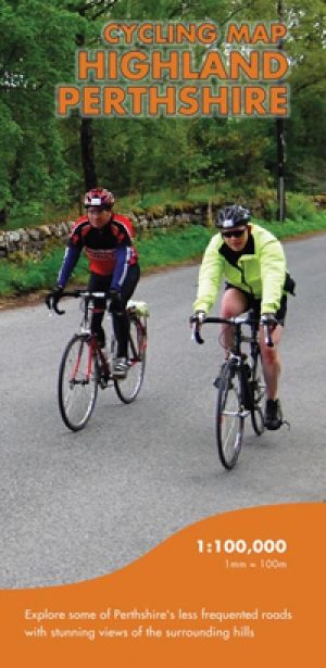
Fietskaart Highland Perthshire Schotland - Harvey maps • 9781851375080
Fietskaart Highland Perthshire Schotland - Harvey maps Productomschrijving: Een kaart van Highland Perthshire over duurzaame fietsen. Een duidelijke en gemakkelijk te lezen waterdichte kaart met voorgestelde fietsroutes uitgezet. Gemaakt in samenwerking met Perth & Kinross council, ByCycle, en Perth and Kinross country Trust. Nieuwe generatie HARVEY Superwalker, XT25 waterproof, werden…

Wandelgids The Hebrides - Cicerone • 9781852847050
Wandelgids - The Hebrides - Cicerone Productomschrijving: Inspirerende gids over 50 gevarieerde wandel- en trekkingsroutes in de Hebriden, met klassiekers zoals de Skye Cuillin en de Paps van de Jura, maar ook veel minderbekende routes zoals Jura, Scarba, Islay, Colonsay, Rum, Eigg, Canna, Muck, Coll, Tiree, Mull, Skye, Raasay, Harris, Lewis, Berneray, North Uist, South Uist, Barra en St K…
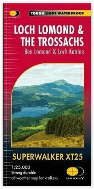
Wandelkaart XT25 Loch Lomond & The Trossachs - Harvey maps • 9781851376445
Loch Lomond & The Trossachs - Harvey maps Productomschrijving: Ideaal om het ganse gebied van de Great Trossachs Forest en Queen Elizabeth Forest Park te ontdekken. Er gaat niets boven een Schots nationaal park. Omvat: Ben Vorlich, Ben Ledi en Ben Venue - 7 Munros, 7 Corbetts en 6 Grahams - Lichtgewicht, gedetailleerd, duidelijk en makkelijk te lezen - Geprint op sterk, 100% wa…