
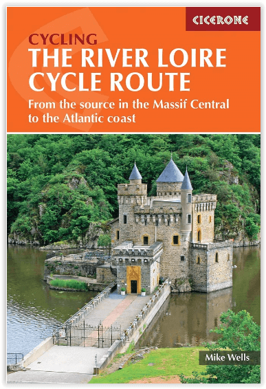
Fietsgids Source Massif Central to Atlantic Coast - Cicerone
1052 km - En deel van EuroVélo 6

Korte omschrijving
Fietsgids Source Massif Central to Atlantic Coast - Cicerone Press Productomschrijving: De gloednieuwe fietsgids voor het fietsen van de Loire, de langste rivier van Frankrijk, vanaf de bron...

Specificaties
- Uitgever: CICERONE Press
- ISBN-13: 9781786310835
- HOOFDCATEGORIEËN: Fietsgids
- Activiteiten: Fietsen / VTT / MTB
- Auteur: Mike Wells
- Regio: Pays-de-la-Loire, Frankrijk
- Land: Frankrijk
- Toepasselijke bergketen: Cevennen, Frankrijk centraal massief, Massief Central France
- Editie: 3
- Taal: Engels
Volledige omschrijving
Fietsgids Source Massif Central to Atlantic Coast - Cicerone Press
Productomschrijving: De gloednieuwe fietsgids voor het fietsen van de Loire, de langste rivier van Frankrijk, vanaf de bron in het Centraal Massief tot aan de Atlantische Oceaan. De 1052 km lange route omvat een deel van EuroVélo 6 en de populaire, bewegwijzerde Loire à Vélo, langs uitgedoofde vulkanen, wijngaarden en kastelen. Er wordt voornamelijk gefietst over fietspaden en secundaire wegen.
Engelse omschrijving: Guidebook to cycling the Loire, France's longest river, from its source in the Massif Central to the Atlantic. The 1052km (654 mile) route incorporates a section of EuroVélo 6 and the popular, waymarked Loire à Vélo, taking in extinct volcanos, vineyards and châteaux. Cycling is mostly on cycle paths and minor roads.
Seasons:
The whole route can be cycled when the mountains near the source are snow free, usually April-October. Stages 7 to 26 can be cycled at any time of year, though April-October is the best period.
Centres:
A point-to-point route with no particular bases.
Difficulty:
Apart from a steep 1000m climb to reach the start and a few ascents and descents in the first six stages this is a straightforward route that is generally downhill or level. Mostly asphalt surfaces in good condition suitable for hybrid or touring cycles. Much of the route follows dedicated off-road cycle tracks, suitable for family cycling, though there are a few short sections where main roads are used.
Must See:
Mont Gerbier de Jonc and the volcanic hills of the Ardèche, Le Puy-en-Velay, Charollais hills. After Nevers the route follows La Loire à Vélo, France's most popular cycleway, passing many of the royal châteaux (Chambord, Blois, Chaumont, Villandry, Amboise), vineyards (Sancerre, Touraine, Chinon, Saumur, Anjou, Muscadet), and historic cities (Orléans, Tours, Angers, Nantes) of the Loire Valley.

Artikelen uit dezelfde regio
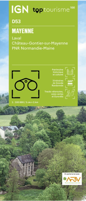
Wandelkaart Fietskaart D53 Mayenne Pays-de-le-Loire - IGN • 9782758555582
Wandelkaart Fietskaart Mayenne - IGN Productomschrijving: Het departement van de Mayenne ligt in de regio Pays-de-la-Loire. Omvat: Laval- Château-Gontier-sur-Mayenne- PNR de Normandie-Maine. Franse omschrijving: Cette nouvelle édition possède un nouveau découpage départemental. Elle intègre les parcours vélo en partenariat avec l'association AF3V – VéloRoutes et Voies Vertes.…

Wandelkaart 1125 OT Ile de Noirmoutier & Beauvoir-sur-Mer - IGN • 9782758555315
Wandelkaart Ile de Noirmoutier & Beauvoir-sur-Mer - IGN Productomschrijving: Ile de Noirmoutier is een prachtig schiereiland voor de Franse kust in de baai van Bourgnef, waar je ook "Le Passage du Gois ou Gôa" vind, of in het Nederlands, "De Oversteek van Gois". Een 4,5 km lange oversteek naar het eiland Noirmoutier. De TOP 25-serie is de cartografische referentie in Frankrijk: - Ee…
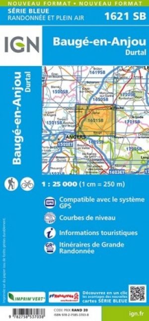
Wandelkaart 1621 SB Baugé & Durtal - IGN • 9782758537038
Wandelkaart 1621 SB - Baugé & Durtal - Nieuwe versie Omvat ook de gemeentes: Le Vieil-Baugé, Montpollin, Pontigné & Saint-Martin-d'Arcé aangehecht. Productomschrijving: Baugé is een voormalige gemeente in het Franse departement Maine-et-Loire (regio Pays de la Loire). De plaats maakt deel uit van het arrondissement Saumur. Tussen 2014 en 2018, worden alle SERIE BLUE kaarten in de colle…

Wandelgids Loire-Atlantique - 30 balades à pied - Ed. Chamina • 9782844663436
Wandelgids - Loire-Atlantique - 30 balades à pied - Ed. Chamina Productomschrijving: De atlantische kust biedt een adembenemend landschap voor wandelaars: het schiereiland guérandaise, het regionaal natuurpark van Brière, Croisic, La Baule, Guérande, Saint-Brévin, Pornic. Het binnenland is daarvoor niet minder bevorderlijk voor mooie wandelingen: het land van de drie rivieren rond Guemene-…

Wandelkaart 1722 SB Noyant & Savigné-sur-Lathan - IGN • 9782758536222
Wandelkaart 1722 SB - Noyant & Savigné-sur-Lathan Omvat: Noyant is een gemeente in het Franse departement Maine-et-Loire (regio Pays de la Loire). De plaats maakt deel uit van het arrondissement Saumur. Productomschrijving: Tussen 2014 en 2018 vernieuwt IGN haar volledige collectie serie blauw. Een nieuwe toewijzing voor optimale leesbaarheid, met een grotere mate van geometrische nauw…